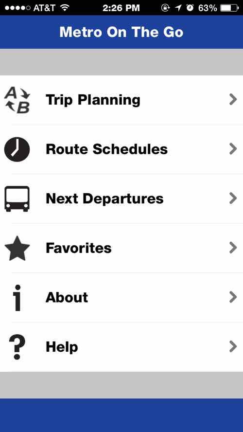
Last week our transit agency, Metro, released its first mobile app — called Metro On The Go:
You asked for a Metro app — and now you have it! Metro On The Go, the official mobile application of Metro transit, is now available. You can download it for free from the Apple App Store and the Google Play Store.
Metro On The Go lets you plan your trip on Metro transit, check schedules for MetroLink and all 75 MetroBus routes, and tap into real-time vehicle data so you can see when the next bus will arrive — all from the palm of your hand. (NextStopSTL)
The app is available for Android & iOS mobile devices. I’ll share my thoughts on the iOS version later in this post, but first I want to bring up an issue before others do. Some may say things like “not everyone has a smartphone”, “not everyone can afford a smartphone”, “this is elitist”, etc. These people likely have broadband at home and choose to not have a smartphone — for others the reverse is the case:
10% of Americans own a smartphone but do not have broadband at home, and 15% own a smartphone but say that they have a limited number of options for going online other than their cell phone. Those with relatively low income and educational attainment levels, younger adults, and non-whites are especially likely to be “smartphone-dependent.” (Pew Reseach — U.S. Smartphone Use in 2015)
From the same source:
Lower-income smartphone owners are especially likely to use their phone during a job search. Compared with smartphone owners from households earning $75,000 or more per year, those from households earning less than $30,000 annually are nearly twice as likely to use a smartphone to look for information about a job — and more than four times as likely to use their phone to actually submit a job application.
Similarly, “smartphone-dependent” users are much more likely to use their smartphones to access career opportunities. 63% of these smartphone-dependent users have gotten job information on their phone in the last year, and 39% have used their phone to submit a job application.
Young adults (85% of whom are smartphone owners) are also incorporating their mobile devices into a host of information seeking and transactional behaviors. About three-quarters of 18-29 year old smartphone owners have used their phone in the last year to get information about a health condition; about seven-in-ten have used their phone to do online banking or to look up information about job; 44% have consumed educational content on their phone; and 34% have used their phone to apply for a job.
The app can be useful, but is it? In short — yes! In just days my initial complaint has already been addressed.
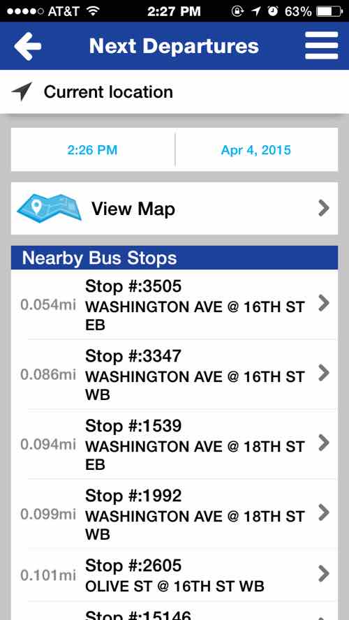
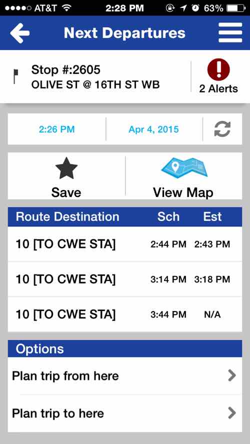
The main menuFor me the “Next Departures” is the most helpful. When I downloaded the app on the first day the stops didn’t list the bus direction — which is important to know — so I’m glad they listened to feedbackBeing able to see if a bus is on time or running late is very helpful
I wasn’t able to test the Android version, my husband went back to iOS in the Fall of 2013. The ‘Trip Planner’ isn’t as responsive as the Google Maps app. Still, for most of my transit use I need to know the next departure of the #10 at 16th & Olive or the #97 at 16th & Washington. This will come in handy when I’m at places and want to know when the next return bus home arrives. Thanks Metro!
I’ve been a regular rider of public transit in St. Louis for a few years now, I’ve never felt unsafe or witnessed any crime. Still, a recent assault on a train has many concerned.
Talking to people over the years some would only ride MetroLink light rail, they’d never consider MetroBus. I’ve asked [white] people if they’d ridden public transit, a common answer was “Yes, MetroLink.” Most are shocked when I tell them I use MetroBus far more often than MetroLink.
The vote count Sunday was low, but I liked the fair results:
Q: Which mode of public transportation do you think is the safest in St. Louis?
Tie/equal 11 [45.83%]
Bus (MetroBus) 6 [25%]
Light rail (MetroLink) 5 [20.83%]
Unsure/no answer 2 [8.33%]
Despite the hysteria on the local news, both MetroLink & MetroBus are largely safe modes. I’d be more worried about driving on I-270 than being assaulted on public transportation. I’ll leave it to others to dig through piles of data.
Five years ago today St. Louis County voters approved a tax increase to support public transit:
By a wide margin, county voters approved a half-cent increase to the transit sales tax to restore lost bus and Call-A-Ride service and, eventually, expand the reach of mass transit farther into the St. Louis suburbs. (Post-Dispatch)
This ballot victory triggered a previously-approved sales tax increase in the city. Attempts in 1997 & 2008 were rejected by St. Louis County voters.
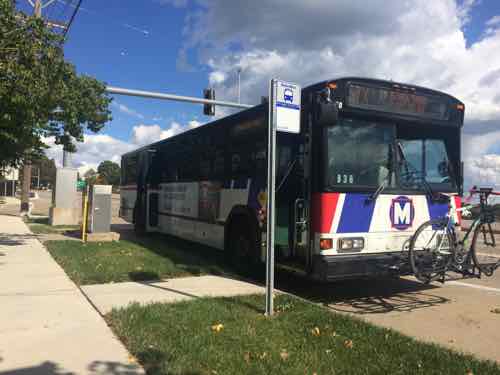
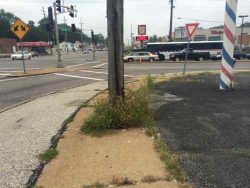
The 57x MetroBus on Clayton Rd. between Woods Mill & Hwy 141. Click image to view the 57X route & scheduleThe #61 MetroBus in the background is heading WB on Chambers at W. Florissant in Dellwood. Click the image to view the #61’s route & schedule.
After the fall 2008 defeat transit advocates approached the 2010 campaign differently, producing outstanding results:
The measure passed by a monstrous 24 point margin. The St. Louis Tea Party focused its energy on defeating the civic project, calling the campaign a test run for defeating Democrats in this fall’s midterm elections. So it’s a setback for them.
But it’s good news for those wanting to get around the St. Louis metro area. The “proposition A” measure will restore bus lines that had been de-funded, pay for more frequent buses, prevent future cuts, and, eventually, expand the reach of transit further into area suburbs. (Grist)
The greatest support came from north county voters, the highest users of transit in the county.
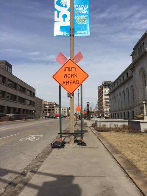
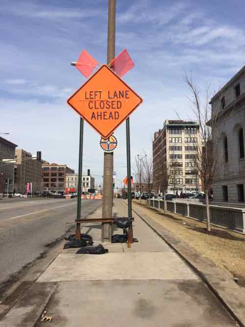
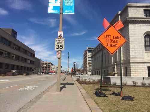
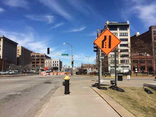
Recently, while taking 14th Street, I noticed construction signs limiting the width of the too-narrow public sidewalk — the East side between Olive & Locust — adjacent to the main library.
Looking North from Olive you see the first sign on the sidewalk. Behind it is another on the sidewalk and a third in the grass to the right of the sidewalk.This is the 2nd sign on the sidewalk, a bus stop served by five MetroBus routes is just beyond
I posted one image to Facebook & Twitter with the caption: “14th street sidewalk almost completely blocked by temp road sign #ADA” A response on Twitter suggested I tweet this to the CSB (aka Citizens Service Bureau). Instead I emailed two people at the Streets Dept, copying two from the Office on the Disabled. Streets quickly identified the culprit — hired contractor Intren — working for Ameren.
The two signs on the sidewalk were reduced to one on the grass.The 3rd sign that was always on the grass –likely because they didn’t want to cover/block the fire hydrant.
Temporary signs are a necessity, but so is the sidewalk next to the main library used by 5 MetroBus routes. The sidewalk is too narrow for the pedestrian volume but the historic library landscaping and the street width prevents it from being widened. Once again, people unaware/unconcerned about pedestrians.
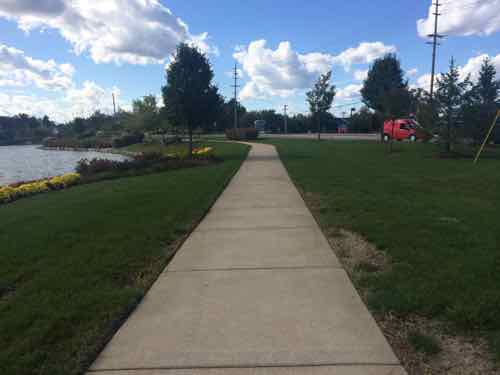
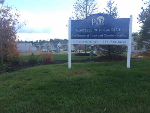
Now I’m very familiar with our public transit system and my husband uses our shared car to get to work. So I took public transit from downtown way out to Town & Country to see the shopping center 6+ years later.
Public Transit:
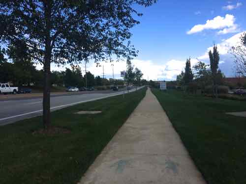
From our loft Google Maps says the drive to Town & Country Crossing, located at Clayton Rd & Woods Mill Rd., is just over 19 miles, taking 23 minutes via I-64 or 56 minutes if you avoid highways. The 57x is the MetroBus route that runs along Clayton Rd in far west county. How long does it take? From my loft it takes 68- 87 minutes, depending upon departure time and route. The 57x usually heads west from the Brentwood MetroLink station, but a few trips per day leave from the Central West End MetroBus center adjacent to the CWE MetroLink. Interestingly, catching the #10 MetroBus a block from our loft can get me to Town & Country Crossing in 77 minutes, less than some combinations involving MetroLink light rail!
The latest morning arrival weekdays is 7:34am. The next arrival? Not until 2:32pm. Clearly Metro wisely caters to worker’s schedules rather than run buses throughout the day. The 57x also serves Chesterfield.
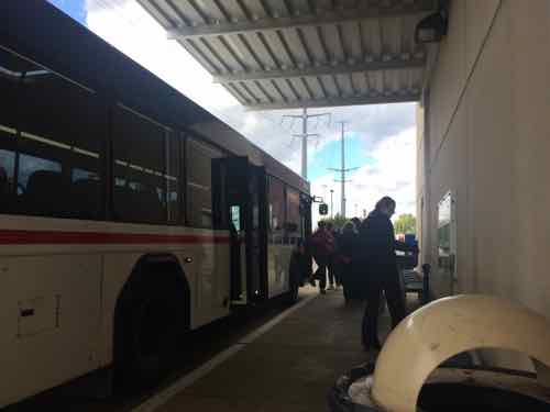
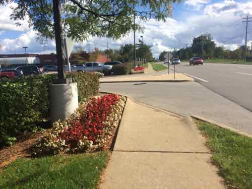
I went out three weeks ago, Monday October 6th. I took MetroLink to the Brentwood station to catch the first afternoon trip 57x westbound.
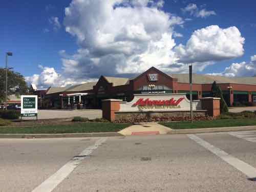
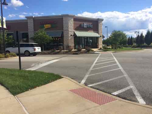
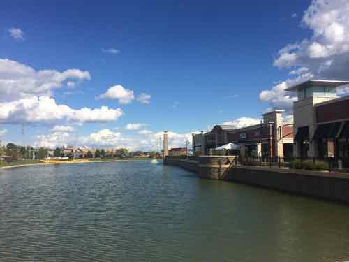
“Connecting Missouri MetroBus routes at Brentwood-I 64 Station include: #02 Red Line, #59 Dogtown, #158 Ballas-West County, and #57X Clayton Rd Express.” Click image to view station pageThe 57x I took to Town & Country stopping on Clayton Rd. between Woods Mill & Hwy 141. The concrete pad is fairly new, Metro has been working to improve accessibility of bus stops throughout the regionHowever, the next WB MetroBus stop isn’t good for many people. Town & Country Crossing is visible in the background
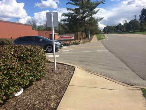
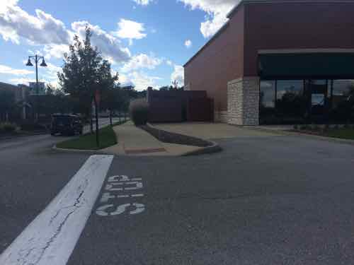
For the return trip I had three choices; one across Clayton Rd from where I got off the 57x, and two along the north edge of Town & Country Crossing. Here are the two next to my destination.
For the eastbound 57x the eastern most stop is at a point where the sidewalk is far away from the curb, the sign can be seen next to the red & white taxiThe stop I used was toward the west end of the shopping center, no pad to reach the bus but considerably closer than the other stop.
The 57x I took back to the east stopped at Brentwood MetroLink then continued east to the Central West End MetroBus Center, where I caught the #10 that dropped me off at 16th & Olive, a block from my loft. Because the #57 uses I-64 from Brentwood to Mason Rd the trip is relatively quick.
Woods Mill Plaza:
I’d never been to Woods Mill Plaza, located just east of Town & Country Crossing, so I thought I’d take a look while I was in the area. The main anchor is a Schnucks.
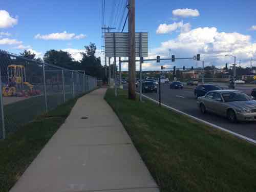
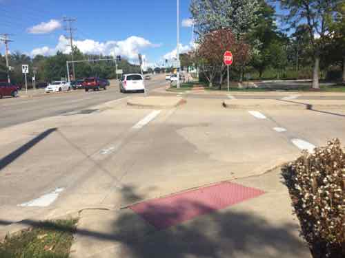
Approaching from the traffic island after crossing Clayton RdA decent sidewalk runs along Clayton Rd and includes one bus stop I previously mentioned, but no accessible route into the siteView of the various buildings from the public sidewalk. Maybe access is off of Woods Miill?The first auto in/out on Woods Mill not only lacks a pedestrian entry but blocks a straight path. I got the contract info for a Town & Country employee who said Woods Mill Plaza is responsible, he’d contact them about this.The next entry also lacked a pedestrian route. No other pedestrian route into Woods Mill Plaza was found despite the presence of sidewalks & bus stops.
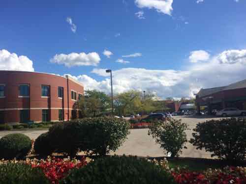
From property records I learned Woods Mill Plaza was built in 1986, the 2-story office building on the site was built in 1991. If you think this site is somehow “grandfathered” you’d be very wrong:
Because barrier removal under the ADA is a continuing obligation, an accessible route may need to be provided at a later date, if a route for the general public develops or is created, and the provision of an accessible route is readily achievable. For instance, if a new bus stop is established near a site, an accessible route may have to be provided if pedestrians commonly walk between the new bus stop and the entrance to the facility. Similarly, if a sidewalk or walkway is provided between the facility and the new bus stop, an accessible route may be required. (Dept of Justice)
Moving on…
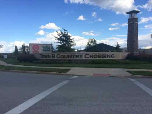
Town & Country Crossing:
As I said at the opening, my only other visit was in July 2008. I’d been impressed with what I saw then but I wanted to return in my wheelchair to see the completed shopping center. I remain impressed but did note some problems in maintenance and design.
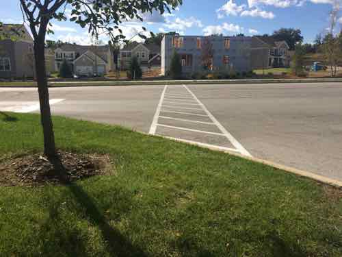
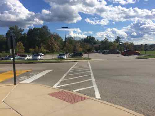
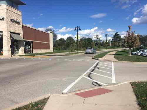
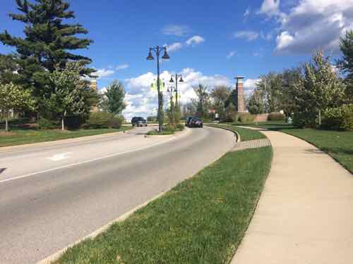
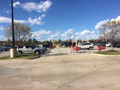
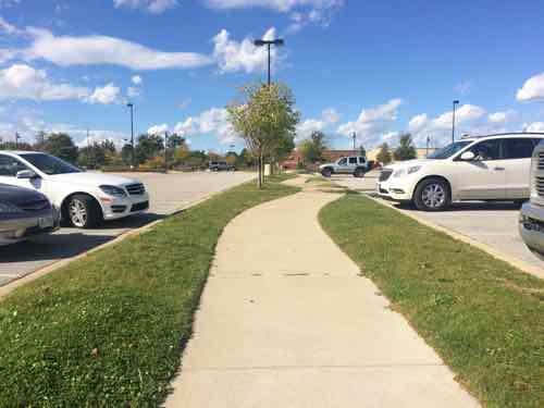
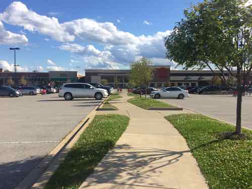
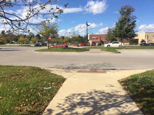
Immediately upon crossing Woods Mill I encountered a situation with a vertical height higher than allowed. This was the only problem like this I encountered in the site.Moving into the site this was the view toward Woods MillAnd the view toward Clayton Rd.I decided to follow this cute to enter the site.To the immediate west of the Clayton Rd entrance is a new home development. This land was part of the previous AT&T center where Town & Country Crossing is located now. These homes are marketed as being adjacent to the shopping center, especially the Whole Foods.However, the intended connection between the two isn’t accessible.The Clayton Rd entrance, Town & Country apparently doesn’t allow tall backlit retail signs or the developer realized a more tasteful approach is more visually appealing.The architects/engineers that originally laid our=t Town & Country Crossing gave a lot of thought to pedestrian accessibility, this is to a small out building on the west edgeView looking east along the main east-west pedestrian route, which is parallel to the main east-west auto route, the building on the left contains several storefronts and a bank is just beyond that.Unfortunately something went wrong here, despite the efforts to make this shopping center fully accessible. This is easily corrected, not sure about to the bank beyond.Looking back west you can see someone forgot to consider making sure wheelchairs/strollers could cross the driveway leading to dumpsters. Easy mistake , easy fix.Some buildings facing north toward Clayton Rd look out onto this pond.South of the Whole Foods the internal sidewalk network heads east toward Woods Mill Rd. (left) or Target (right)Looking east toward Woods Mill, the Whole Foods ids to the left, Target is behind.Ahead is Woods Mill Rd. But let’s go back west to the TargetIn front of the Target looking north, we can see a path leading out into the parking lot with disabled spots on each side, a common Target feature. .When we get further out we see it has changed to a sidewalk with regular parking spots on each sideTurning around we see the Target. So how far does this go? It connects with the original east-west sidewalk we used.The white car id headed west on the main east-west drive, the east-west sidewalk is on the other side of it.
Closing Thoughts:
Town & Country Crossing isn’t perfect, someone dropped the ball when the storefront building & bank was built in the northwest corner. Still, this remains the best example in the St. Louis region of a well connected shopping center. It still largely caters to motorists while being mostly ADA-compliant. They’re not mutually exclusive.
AARP Livibility Index
The Livability Index scores neighborhoods and communities across the U.S. for the services and amenities that impact your life the most
Built St. Louis
historic architecture of St. Louis, Missouri – mourning the losses, celebrating the survivors.
Geo St. Louis
a guide to geospatial data about the City of St. Louis