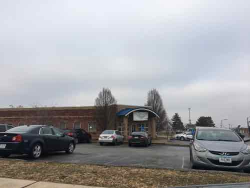
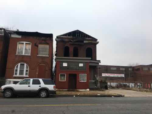
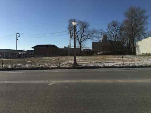
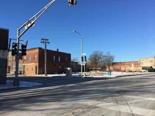
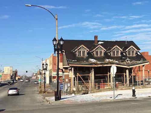
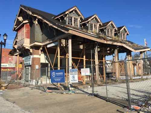
St. Louis tried redeveloping the North Riverfront, the largely vacant area just North of Laclede’s Landing, by razing it and building an NFL stadium. That failed…thankfully. Next up, the area was included in our bid to win Amazon’s HQ2. Last week Amazon announced their list of 20 cities being considered — St. Louis’ bid didn’t make the cut.
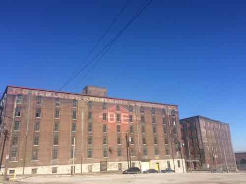
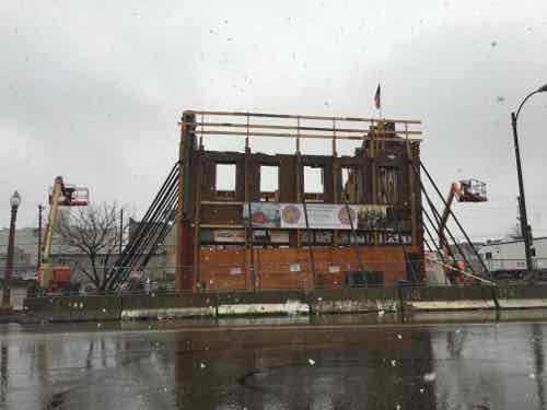
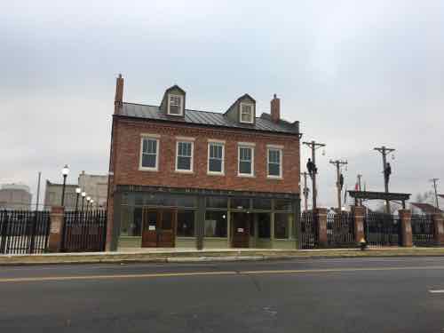
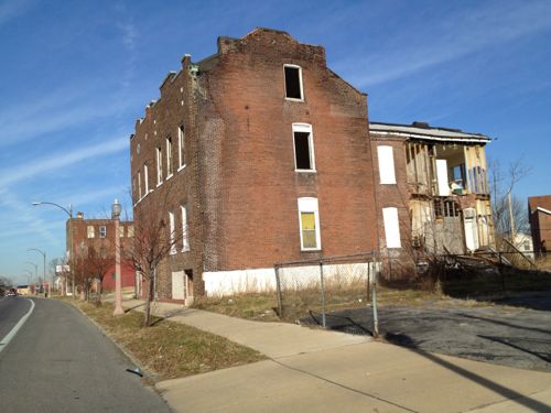
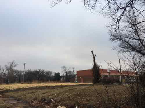
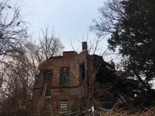
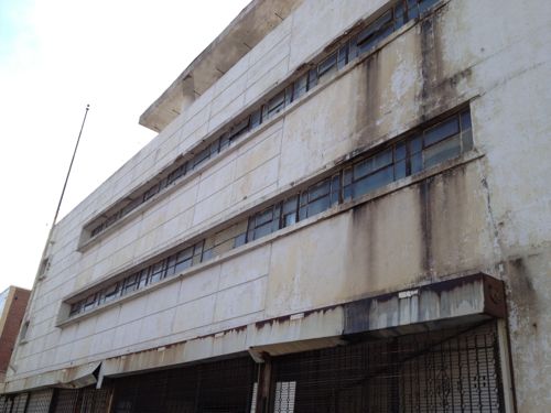
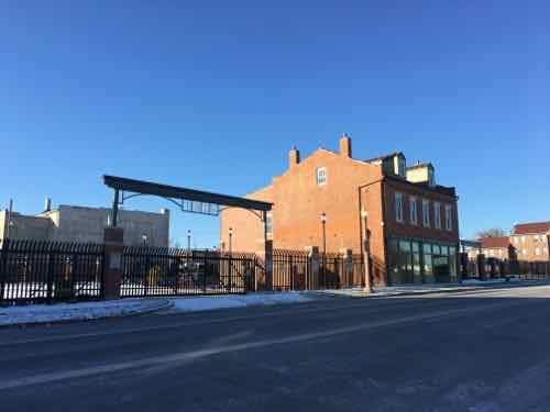
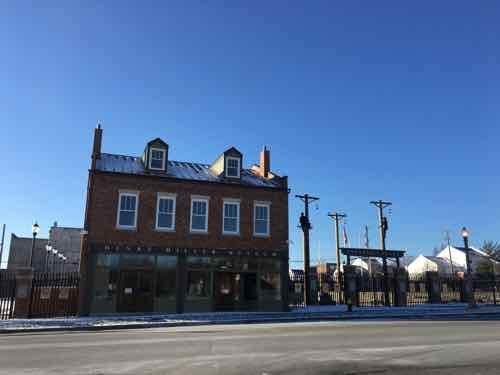
Warehouses along Ashley between 2nd and Lewis.
So now what to do with the North Riverfront? I say stop dreaming about a magic pill that’ll do it in one shot. The street grid still exists, sidewalks need to be built. There’s lots of room foe new buildings and existing buildings awaiting new uses. St. Louis could invest in the area and enact a form-based code to guide future development. The investment would take the form of infrastructure — utilities, sidewalks, and transportation.
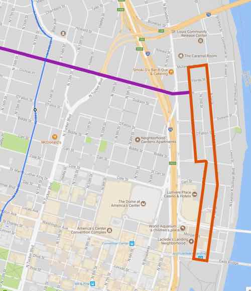
St. Louis is working on a North-South light rail plan to the West. This new line will use low-floor vehicles, not the high-floor vehicles used on our current MetroLink light rail lines. Modern streetcar & light rail lines use the same vehicles, the light rail usually just being longer and on a track where higher speeds are available. What does this have to do with the North Riverfront area?
We can use the same vehicles, maintenance facility, etc to operate lower-speed circulation streetcar route that’s connected to the proposed North-South line,
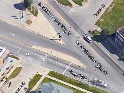
The blue line rep[resents the proposed North-South LR, the orange is a circulator route going from the Eads Bridge MetroLink station up to Mullanphy St. The purple is a connecting route along Cass — which could extend to the new NGA HQ and perhaps beyond in future expansions. After uploading the graphic I realized it would be good to have a connection in the center of the orange circulator route — at Biddle.The orange line is just under 2 miles long. Yes, I know, a bus is a far cheaper way to move people. I also know a bus route doesn’t spur private development. This have the potential to connect The Arch, Laclede’s Landing, the upcoming North-South line, and the NGA HQ.
January 15, 2018Featured, MLK Jr. DriveComments Off on St. Louis’ Dr Martin Luther King Drive
This is my 14th consecutive year looking at St. Louis’ Martin Luther King Drive — documenting physical changes since the prior year. Next year, my 15th, may well be my last. Each year it gets more and more depressing to do.
Each year there is at least one bright spot, but they pale in comparison to the profound disinvestment.
So here is a look at St.Louis’ Martin Luther King Drive, starting at 14th and heading West to the city limits. In some cases I’ve included previous photos to compare to this yesr. All photos for this year were taken a week ago.
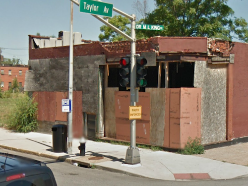
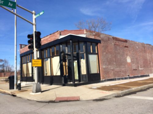
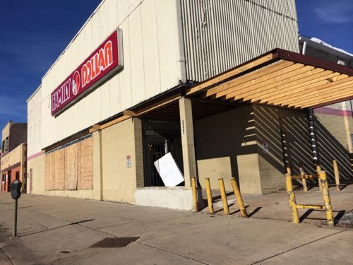
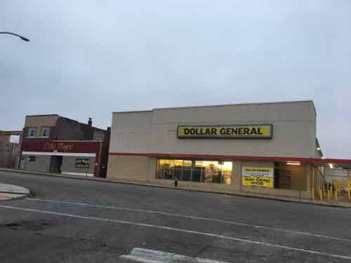
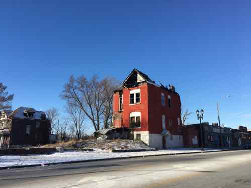
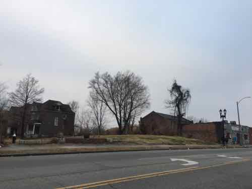
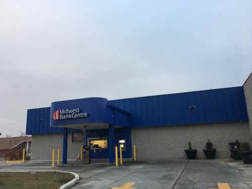
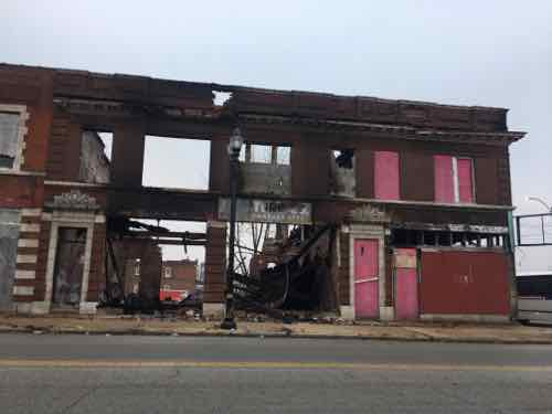
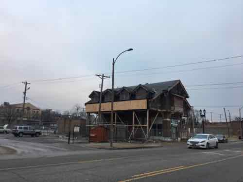
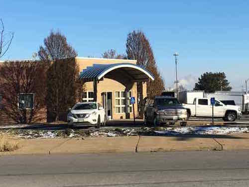
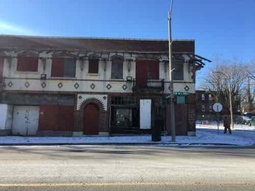
2013: A former BarnesCare building at 14th & MLK built in 2001, was vacant.2017: Someone was preparing to reuse the building2018: became occupied again last year. It still lacks a pedestrian access route from the pub lic sidewalk2016 — work underway on the Electrical Workers Historical Society — aka the Henry Miller Museum20172018 — I still haven’t visited the museum….hours are by appointment only. Click image for info20122018 — more of the back section has fallen awayThe old configuration of MLK Dr & Page. Source GoogleDriving WB it is largely unchangedBut driving EB on MLK traffic turns toward a signal with PageThis happened in 2016 or 2017…not sure whichLast year a sign was posted about Vandeventer Place, a senior community, to be builtMLK @ PendletonThe entrance is off the less busy Pendleton, it includes an accessible route for pedestrians next ro the circle driveAcross Pendleton is a file and then an older strip shopping centerLike new gas station/convenience stores pn MLK, this older strip center lacks a pedestrian access route.Before 2014. MLK @ Taylor. Source: Google Streetview.2014 New storefront is vacant2018 — storefromt now occupied by a 2nd location of MC Appliances. Click image to view their website2014: The Family Dollar store #1562 at 4949 Dr. Martin Luther King closed2018 reopened as a Dollar General2013…just West of Union20172018 — pile unchangedBuilding across MLK had a recent fire. Hopefully it’ll get rehabbed this year.2017 — for several years this burned building remained at Stewart Pl @ MLK2018 — it was razed, not rehabbed2017 Signs announcing a bank coming to MLK2018 — the bank is now open…but it lacks a pedestrian access route2018 auto drive-thruBuilding a block East of the old JCPenny had a fire recently. Will it be stabilized, razed, or rehabbed a year from now?Stabilization of the beloved Wellston loop trolley building removed eaves that were rotting & falling off
A few bright spots…but lots of overwhelming problems.
This Day in St. Louis History, February 17, 1972: Martin Luther King Boulevard is dedicated
A Board of Aldermen bill was passed that changed the name of Easton Avenue and portions of Franklin Avenue to Martin Luther King Boulevard. Alderman C.B. Broussard was a primary sponsor, and he announced that the change was part of a nationwide organized drive to rename street[s[ in honor of the murdered civil rights figure. Martin Luther King Jr. was shot and killed by James Earl Ray on April 4, 1968 while standing on a hotel balcony in Memphis, Tennessee. Just days after his murder, Congress passed the Civil Rights Act of 1968.
By 1972 St. Louis was aware the 1960s was its second decade in a row with major losses in population. In the two decades since the St. Louis population peaked in the 1950 census, the city lost more than a quarter of its residents. The biggest reduction, however, happened during the 1970s. By the 1980 census St. Louis had again lost more than a quarter of the population — in a single decade.
As the white middle class fled North St. Louis for North St. Louis County, commercial streets like Easton & Franklin Avenues were already in decline before 1972.
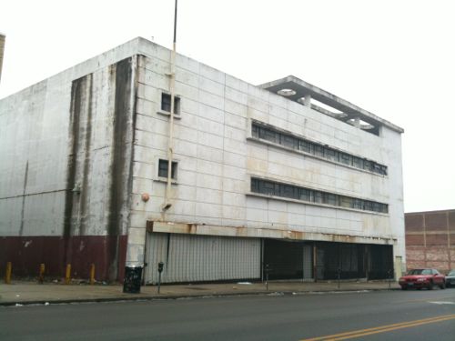
One building symbolizes this change better than any other. Demolition of existing 2-story buildings began on February 29, 1948 — the new JC Penny store opened the following year. By 1967 the store was so crowded a warehouse was added to the West (since demolished). Less than a decade later, the store closed on September 11, 1976.
The former JC Penny store (1949-1976) on MLK in the Wellston Loop in the modern style with an urban form, rather than style of its red brick neighbors that are 20-40 years older.Click image to view the nomination to the National Register of Historic Places.
As residents fled to North County retailers followed them. New shopping areas like Northland (1955), River Roads (1962), Northwest Plaza (1965), and Jamestown Mall (1973) opened to serve the new suburban middle class. Franklin & Easton Avenues would have declined even it not renamed.
Can this corridor be revived? To the point of being the honor it was intended? I have my doubts. Perhaps we should do something different to causally honor Dr. King’s legacy and return the street name to Easton & Franklin Avenues?
Image from the 1970 nominating to the National Register of Historic Places, click image to view
Today’s post was originally supposed to be about how a historic water tower, one of our three, was saved 55 years ago. In researching, however, I found the truth was a little differing.
A few years ago the STL250 group posted a daily tidbit — I saved those which thought might be of interest here.
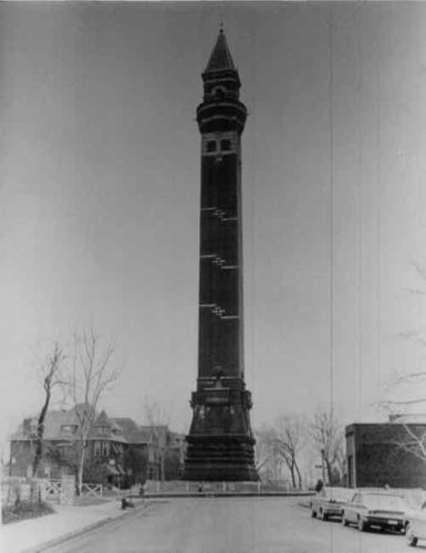
This Day in St. Louis History, January 27, 1962: Salvation for the Bissell Street Water Tower
When news was released that the city had decided to tear down the dilapidated Bissell Street Water Tower at Blair and Bissell Street in North St. Louis, protests came from every direction. The tower had been losing bricks from its face due to water infiltration and freezing, but people demanded the structure be saved. Thanks to a matching grant from the U.S. Department of the Interior and the realization that tearing it down would be just as expensive, the tower was saved and restored. The Bissell Street Water Tower was constructed in 1885 to control surges of water pressure along with its older adjacent neighbor, the Grand Avenue Water Tower, shaped like a giant Corinthian column. Less than ten Victorian-era water towers remain in the United States, and three are in St. Louis.
Their post has been deleted from Facebook. So it was saved on a Saturday in 1962 — great
Built in 1885, the Bissell Street Water Tower, also called the “Red” Water Tower, was designed by William S. Eames in the form of a Moorish Minaret. The tower stands 206 feet high and is located at the intersection of Blair Avenue and Bissell Street in the Hyde Park City Historic District.
There are nine doorways leading into a space containing an iron standpipe and spiral staircase. At the top is a look-out platform. The tower was renovated in 1913. There was an attempt to raze the tower in 1958, but luckily it was halted by Donald Gunn, the President of the Board of Aldermen. The Red Tower was restored once again in the 1960s and designated a City Landmark in 1966.. It was placed on the National Register of Historic Places in 1970.
So it was saved from demolition in 1962, restored and listed on the National Register. Not quite.
From the nomination to the register completed on April 8, 1970:
No material alterations have been made on the structure since its construction and its appearance remains essentially the same as when it was completed. The tower was taken out of use June 8, 1913 when new pumping engines rendered both it and its companion, the Grand Avenue Water Tower, obsolete. It has received no substantive maintenance since that date and has fallen into such a state of disrepair that it has been barricaded since 1965 to protect people from falling bricks. Because it has been deemed a danger to public safety, it is now threatened with imminent demolition.
This description of the physical appearance of the building is based on the data included in a field report by Edward A. Ruesing written, on February 26, 1970. The report is filed at the central office of the Missouri State Park Board, P.O. Box 1?6, Jefferson Building, Jefferson City, Misoouri 65101.
No doubt something happened 55 years ago today, but it was just part of many steps taken to save it from demolition. I haven’t been up there since December 2011 — not sure of the current condition. Would be nice to see the Compton Hill Water Tower & Park Preservation Society expand to cover all three of our water towers or help form an organization to help the two north side towers.
January 16, 2017Featured, MLK Jr. Drive, North CityComments Off on Annual Look At Changes Along St. Louis’ Dr Martin Luther King Drive
Today is the 13th year I’m posting about St. Louis’ Dr. Martin Luther King Drive — formerly Franklin & Easton Avenues. These streets were official renamed almost 45 years ago, on February 17, 1972.
As in the past dozen years, there are some bright spots:
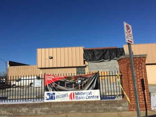
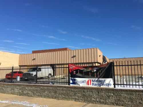
The former medical office ion the NW corner of MLK & 14th has been vacant the last few years but it looks like someone is preparing to reuse the building which was built in 2001.Just West of Jefferson I noticed on-street parking spaces are in front of a bus stop for the #94. Parking cars between a bus stop and the bus means the bus drover must find another place to pickup/drop off wheelchair passengers such as myself.Across the street a former bar & restaurant that had burned is now gone.In September the International Brotherhood of Electrical Workers (IBEW) opened a museum at the location where the union was founded 125 years before. Click image for news story on the opening.Another view of IBEW’s Henry Miller Museum — click the image for the official website. Haven’t visited yet — couldn’t find hours, admission price, or accessibility information online.A year ago, January 2016, the building was barely a shell.New senior housing called Vandeventer Place, at 4232 Dr. Martin Luther King. A decade ago the St. Louis chapter of the AIA wanted to build a farmers;’ market on this cite, but that project never got pff the drawing boards.The corner storefront on the SW corner with Taylor is now gone.Just West of Union is what’s left pf a 3-story house I’ve watched slow;y deteriorateHow the building above looked 4 years agoThis building had a big fire a few years ago…but it holds on.Friendly Temple Baptist Church is a major land owner in the area. though mostly surface parking. One building at Belt is being remodeled to open a bank branch.The banner reads “Coming Summer 2016”, click image for February 2016 news story.One of my favorite buildings in St. Louis survived another year.The Wellston Loop trolley building is also a survivor, though it is looking rather sadThe building was fenced off in August 2016, click image for history
The abandonment in the neighborhoods on either side of Dr. Martin Luther King Jr. Drive make the task of revitalizing this corridor all but impossible.
AARP Livibility Index
The Livability Index scores neighborhoods and communities across the U.S. for the services and amenities that impact your life the most
Built St. Louis
historic architecture of St. Louis, Missouri – mourning the losses, celebrating the survivors.
Geo St. Louis
a guide to geospatial data about the City of St. Louis