Thoughts on NGA West’s Upcoming $10 Million Dollar Landscaping Project
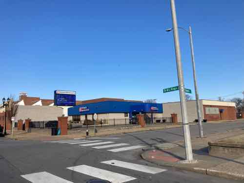
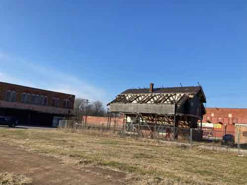
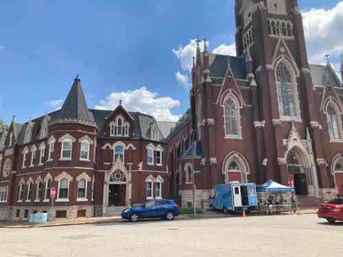
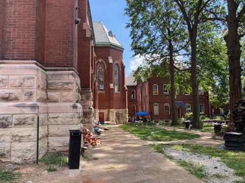
The new NGA West campus , Jefferson & Cass, has been under construction for a few years now.
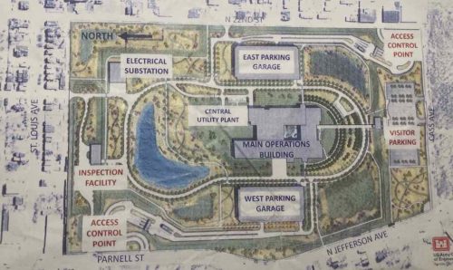
Next NGA West is a large-scale construction project that will build a new facility for the National Geospatial-Intelligence Agency in St. Louis, Missouri.
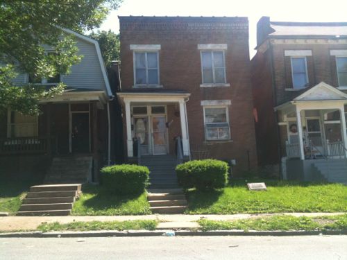
This $1.7B project is managed by the U.S. Army Corps of Engineers and executed by McCarthy HITT Joint Venture, with oversight by NGA and the U.S. Air Force. The 97-acre project site is located in the historic St. Louis Place neighborhood at the intersection of Jefferson and Cass avenues.
When complete, the campus will include a 700,000-square-foot office building, two parking garages, a visitor center, a delivery inspection facility and secure entrance/exit points. The staff of 3,150 will move from their current Soulard, St. Louis, location to the Next NGA West in 2026.
NGA
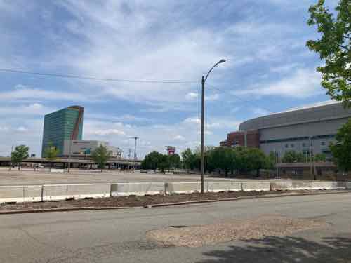
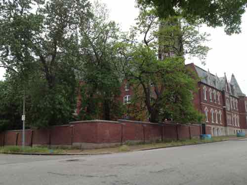
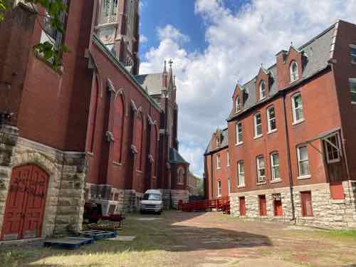
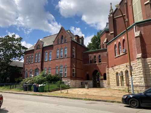
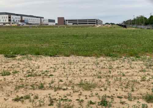
The primary structures on the site (main, two parking garages, visitors center) are now clearly visible from outside the perimeter. For security reasons the main building is in the very center of the site, far away from the fence on each side. This is a military facility with security you’d expect at any military base.
One of the four remaining contracts on this project is for landscaping, here’s the summary:
More than $10,000,000 — Anticipated award Fall 2023
As one of the set-aside projects to the large NGA N2W design-build (D-B) project, this design-bid-build (D-B-B) project will provide site-wide landscaping, including site plantings, site furnishings, landscape lighting, and irrigation. There is no demarcation zone established for landscaping as it encompasses the entire site. The main D-B contractor will provide a master plan and concept landscape design; this project will use this information to develop the planting, irrigation, landscape lighting, and site furnishings design for procurement and installation.
Approved for Public Release #20-749
NGA West Business Opportunities
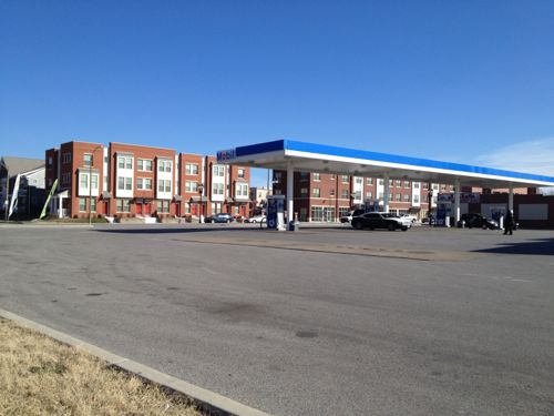
Don’t expect this to look like a Chesterfield office park, there won’t be large swaths of perfectly manicured turf grass with stripes. Thankfully they’re going for a more sustainable landscape, with natives instead of useless turf grass.
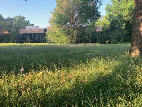
This saves of water, fertilizer, mowing while creating habitat for pollinators and beneficial insects.
The NGA site plan includes a walking path around the main building, so the landscape should create a nice environment for NGA’s employees. It should also attract pollinators while not making the urban heat island effect any worse — perhaps even reducing.
The security fence is set back from the three adjacent roads (Cass, Jefferson/Parnell, and 22nd Street) so there will street trees, tree lawns and such. Plus the corner of Jefferson & Cass includes a small green space outside the secured area. Hopefully these areas along streets won’t be filled with turf grass due to its high maintenance.
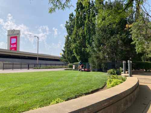
Landscape maintenance will be one of many future service contracts at NGA West. Unfortunately, most/all of our existing landscape maintenance firms are set up for large areas of turf grass, edged & mowed with noisy high pollution equipment.
Experts say lawn and garden equipment represents about 85% of all SOREs [small off road engines] in operation today nationally, and those engines are typically manufactured without the pollution controls used on cars.
Virtually all small engines are two-stroke, which burn a dirtier fuel mix than vehicles do. Advocates say that in addition to the climate-changing emissions released by the engines, workers are exposed directly to their exhaust and rarely wear filters to protect their lungs.
Other people complain about the noise they make, especially when so many suburban residents now work from home.
USA Today: “Gas leaf blowers and lawn mowers are shockingly bad for the planet. Bans are beginning to spread.”
I personally love the idea of banning gas lawn equipment, but it would be nice to see professional landscape maintenance companies move in that direction voluntarily. I can see a firm that uses all electric equipment (including electric trucks) getting the lucrative maintenance contract ar NGA West. Better for NGA’s employees and those doing the actual landscape maintenance work!
Interested? One place to start:
Our mission is to transition landscape maintenance to low noise, zero emissions practices with positive solutions to protect the health of workers, children, the public, and the environment. We provide research, education, outreach, and solutions, working collaboratively with communities, businesses, schools, and government agencies.
Quiet Communities: Quiet Landcare
Manicured turf grass lawns are great in few places, such as ballfields. Otherwise, not so much. Traditional lawn care equipment is very noisy — every week at our apartment you’ve got the edger, mower, and leaf blower. It’s expensive, dirty, and noisy.
— Steve
————————————————————————
St. Louis urban planning, policy, and politics @ UrbanReviewSTL since October 31, 2004. For additional content please consider following on Facebook, Instagram, Mastodon, Threads, Bluesky, and/or X (Twitter).