Former St. Liborius Church Complex Fits Beautifully in the Street Grid
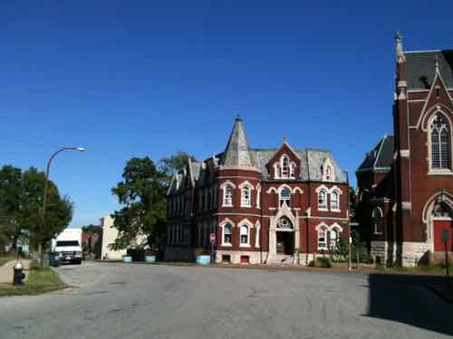
A major reason why I decided to make St. Louis my home back in August 1990 was the complex street grid and the buildings that neatly fit into it. One of the finest examples of fitting into our decidedly non-orthogonal street grid is the former St. Liborius Church complex, bounded by Hogan, North Market & 18th streets. This is where two different grids collided (View in Google Maps). When two grids of different orientations met the result was often awkward — this created very interesting buildings on non-rectangular sites. The views looking down streets as they bend into another grid alignment can be spectacular.
St. Liborius was a catholic parish founded by German immigrants on October 21, 1856 – 166 years ago today. In the 1850 census St. Louis had a population of 77,860 — that was a 372.8% increase over the 1840 census. By 1880 the population was 350,5218.
In March 1888 work on the foundation was underway, their existing church & school were a few blocks to the west. In June of that year it was reported the cost was $100,000 and “much of it was on hand.” In 2022 money that’s like $3.124 million!
“The church was completed in 1889. The rectory was built the following year and the convent was built in 1905. The School Sisters of Notre Dame taught in the parish school from 1859 to 1969. The parish buildings were declared a City Landmark in 1975 and listed on the National Register of Historic Places in 1979.” (Wikipedia)
The year after the church opened the 1890 census showed the St. Louis population had grown to 451,770.
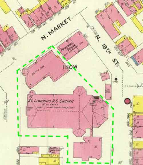
Let’s take a look at the church and surroundings in 1909.
The 1910 population was 687,029. By this point the parish was more than half a century old, the sanctuary more than two decades. In late August I finally got up close to the buildings, and saw inside the sanctuary.
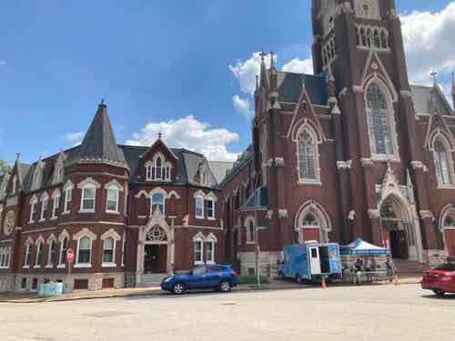
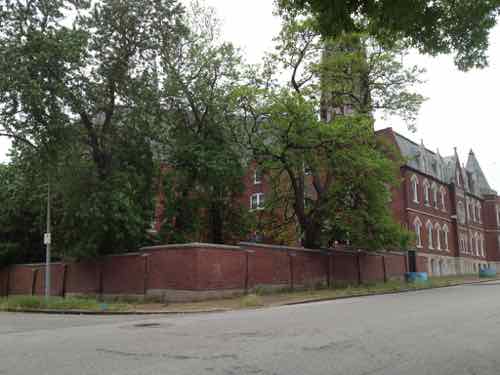
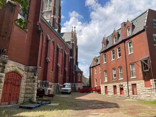
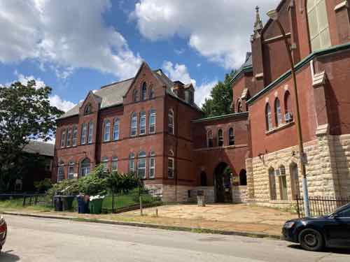
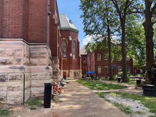
In my 32+ years in St. Louis I’ve seen too many great 19th century buildings fall apart due to neglect & abandonment. I’ve feared the loss of these. But the former convent is owned by Karen House, a catholic worker house. The sanctuary & rectory are owned by SK8 Liborius — a skate park.
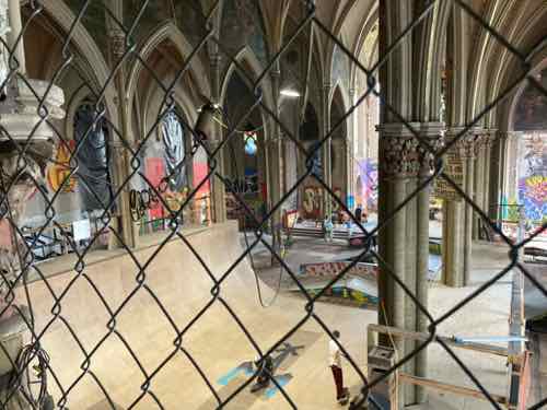
The other use for an old sanctuary I’d like to see would be as a vertical hydroponics farm.
— Steve Patterson