I’m Now More Optimistic (Less Pesemistic?) About The Next NGA West Campus
A decade ago the National Geospatial-Intelligence Agency (NGA), located near Anheuser-Busch brewery, announced it intended to build a new campus. If you’re not familiar with the NGA here’s how they describe themselves:
The National Geospatial-Intelligence Agency (NGA) delivers world-class geospatial intelligence that provides a decisive advantage to policymakers, military service members, intelligence professionals and first responders.
Anyone who sails a U.S. ship, flies a U.S. aircraft, makes national policy decisions, fights wars, locates targets, responds to natural disasters, or even navigates with a cellphone relies on NGA. (NGA)
b
b
b
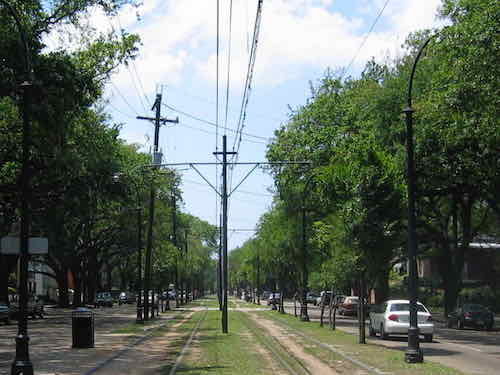
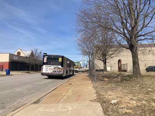
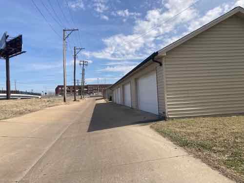
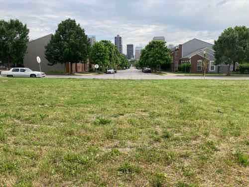
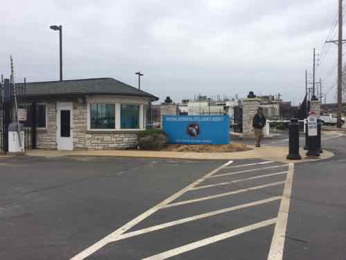
I just couldn’t see how building a large high security military facility was going to be a positive for the immediate area — people would drive in for work, maybe drive out for lunch, then drive home at night. Having seen the secure entrance to their current facility numerous times it’s not welcoming, nor pedestrian oriented.
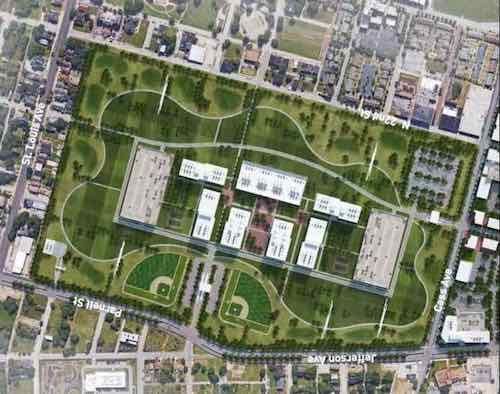
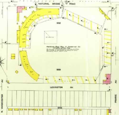
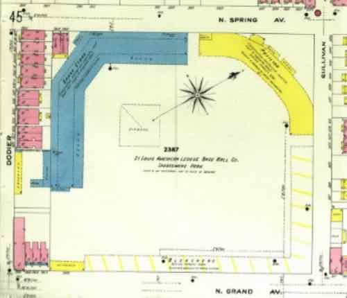
In the concept above we see structures in the center of the site, not edges — for security. In the very center is 7 separate buildings, with a parking garage to the north & south (left & right). If you’ve been watching the construction taking place you know NGA’s actual design is different than St. Louis’ concept rendering. Again, the concept above was part of the successful St. Louis effort to have the site at Jefferson & Cass selected.
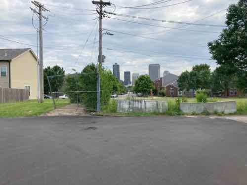
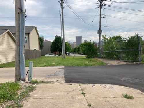
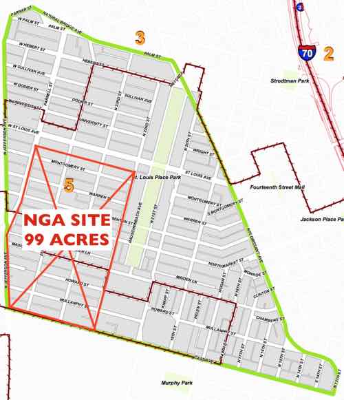
Last month us residents participating in the process to create new plans for the 6 neighborhoods around NGA (St. Louis Place, Old North, Hyde Park, JeffVanderLou, Carr Square, and Columbus Square) were invited on site for an open house.
Photography & video were not allowed, but we were given a site plan for the actual design. To my knowledge this is the first site plan the public has seen of this project.
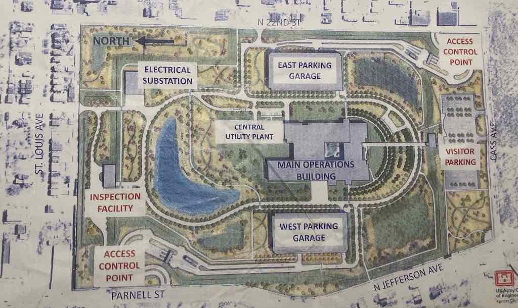
Finally seeing what the NGA is actually building gives my some hope that it can potentially have a positive impact on the trajectory of North St. Louis. My concern had been this becoming a big barrier, especially once the intact street grid was erased. Well, it’s still a barrier but the employees within the grounds will have opportunities to come & go relatively easily as pedestrians. Hopefully this will translate to businesses east, south, and west of the site.
I was also concerned about a line of cars on Jefferson Ave to enter the site.
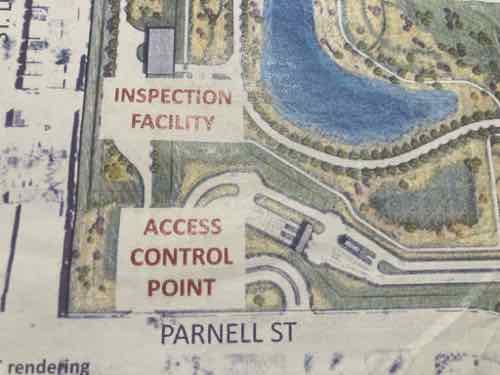
There will be two “Access control points” for those driving to work — one in the NW & SE corners of the site. Each has a curved drive to give cars room to queue up without blocking through traffic on Parnell or 22nd. This design also means vehicles can’t get a good straight run at trying to crash through the gate. All cars entering the facility are examined, especially for explosives.
The inspection facility in the NW corner will allow trucks with deliveries to unload and leave out the alley on the north. Items will be inspected before being loaded onto a secure truck for delivery to the main building.
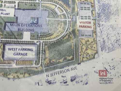
You can see a sidewalk out to Jefferson. The SW corner of the site is the intersection of Jefferson & Cass avenues. The security fencing will be set way back from Cass to allow a corner park/plaza space and visitor parking. A park that’s not behind a security fence? They’ll allow visitors?
A visitor’s center will be adjacent to the visitor parking. This center is where guests will go through security. Apparently the main building is compartmentalized such that visitors can be allowed in part without risking security in the remainder. It will have an outdoor courtyard in the center of the building.
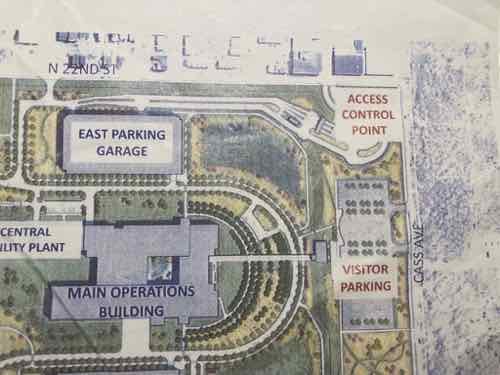
The SE corner of the site (22nd & Cass) is the other access control point — accessed via 22nd Street, not Cass Ave. Along 22nd Street is where I hope to see businesses in the existing buildings, or maybe urban new construction. Perhaps places workers see driving in/out so they decide to walk to them at lunch.
I think 22nd & Cass will likely become a signalized intersection, possibly another at the other access point. I use the #32 bus along Cass Ave at times so I’m curious about the nearest bus stop to Jefferson — right now the westbound bus stop is before 22nd Street, so a long distance from Jefferson. No bus stops are shown on the site plan. Across Cass Ave to the south is the mostly vacant former Pruitt-Igoe site. How this gets developed will determine the long-term success of the area. I hope we don’t get a free-standing Starbucks with or without a drive-thru. A coffeehouse on the ground floor of a multi-story building on the SE corner of Cass & Jefferson would be great.
Knowing NGA employees can get in/out of the site pretty easy as a pedestrian is encouraging. The construction will be finished in 2025, the NGA expects to relocate to this new facility in 2026.
— Steve Patterson