Most Bus Stops On A St. Clair County Route Not Designed For Pedestrians
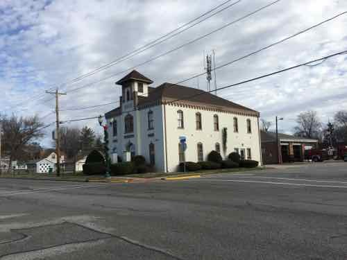
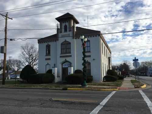
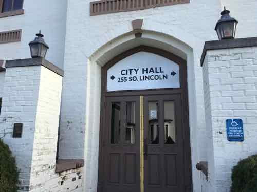
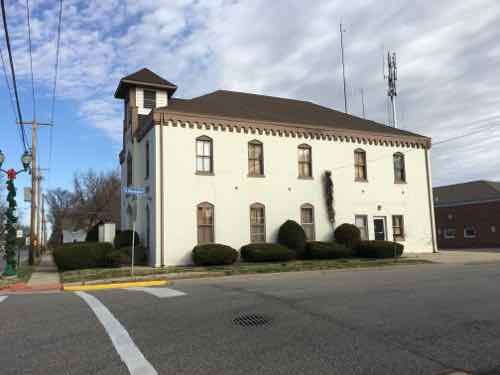
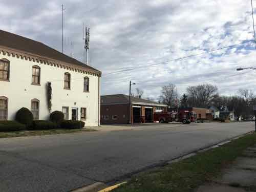
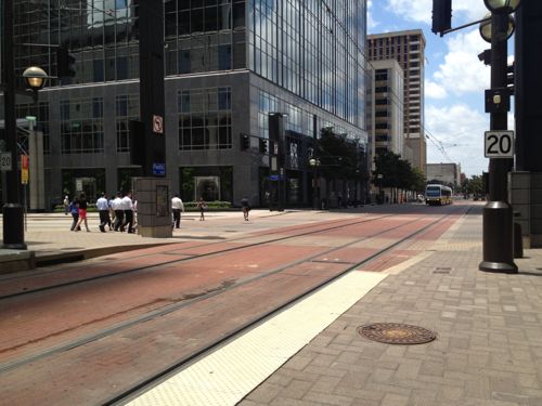
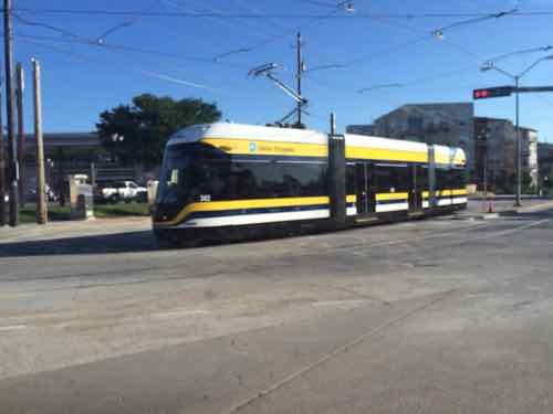
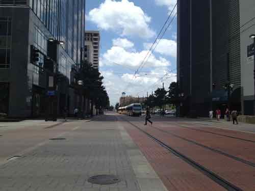
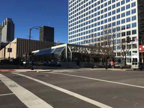
Last week I decided to visit downtown O’Fallon IL so I could see & photograph their old city hall — which is for sale. It is just a 24-28 minute drive from my loft in downtown St. Louis but my husband and I share a car, which he uses has for work. Transit was my best option, but it would be 90 minutes each way. The first half via MetroLink light rail, the second via MetroBus.
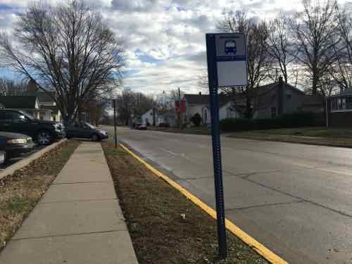
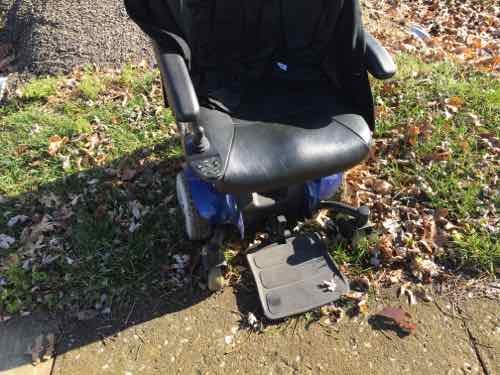
The MetroLink stations/platforms are all wheelchair accessible, as are all MetroBus vehicles. The weak link is MetroBus stops. With thousands of stops throughout the region, a transit agency can only do so much to improve municipal/county rights-of-way. I assumed I’d be ok once I reached downtown O’Fallon so I didn’t look ahead at the stops along the way.
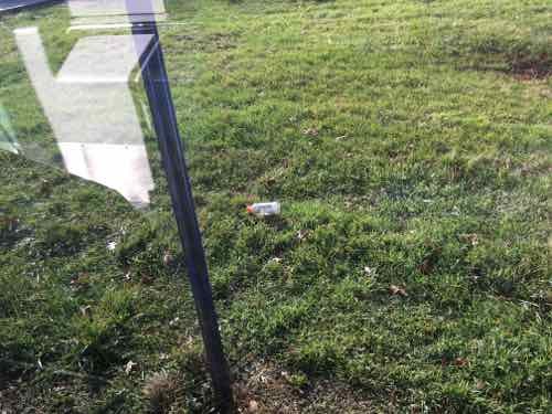
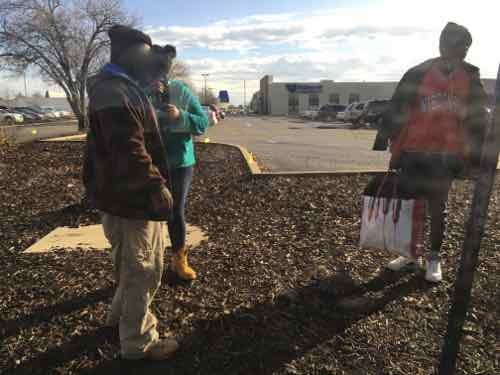
But on the bus I began to snap pictures as the bus stopped — in some cases as we went past stops. For those unfamiliar with riding a bus, they don’t stop at every bus stop. If you want off you must pull the cord to let the driver know you wan the next stop. A bus also stops for those waiting to board. Light rail, however, stops at every stop because they’re limited and spaced far apart. Still, the bus stops are needed because throughout the day each and every stop will likely be used at least once.
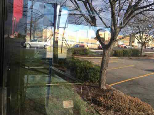
Below are some of the images I took from the #12 MetroBus heading East from the Fairview Heights IL MetroLink station to the O’Fallon City Hall. The bus was near seated capacity when we departed the station.
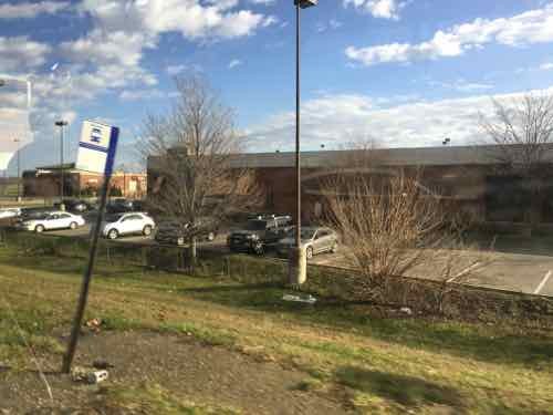
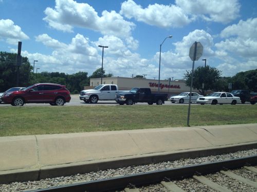
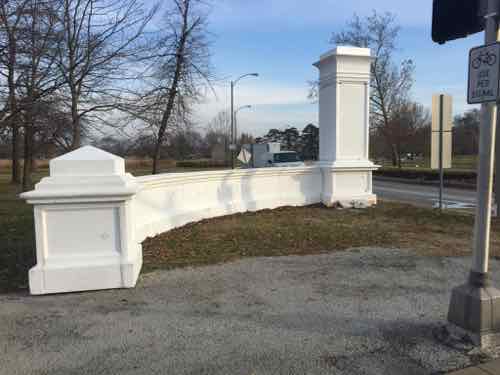
I reviewed the entire route on Google Street View, my stop in downtown O”Fallon was the 82nd stop after leaving the Fairview Heights MetroLink station. We traveled through Fairview Heights, Shiloh, O’Fallon, and likely unincorporated St. Clair County.
If you care to take a look, here’s a link to all the stops. Only a few I’d consider to be ADA-compliant.
- 1st stop
- 2nd stop
- 3rd stop
- 4th Stop
- 5th Stop
- 6th
- 7th
- 8th
- 9th — sorta ok grass
- 10th (grass)
- 11th ok
- 12th ok/grass
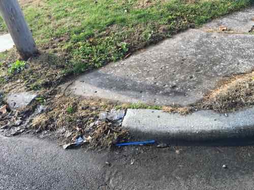
- 13th no sidewalk/grass
- 14th no sidewalk/grass ditch
- 15th no sidewalk/grass
- 16th sorta ok, grass between sidewalk & curb
- Left onto Commerce Lane
- 17th no sidewalk/grass
- 18th bad curbs/grass
- 19th no sidewalks/grass
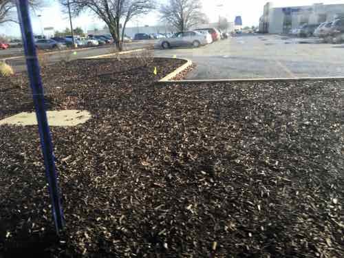
- 20th no sidewalk/mulch
- Turn left onto Plaza Dr
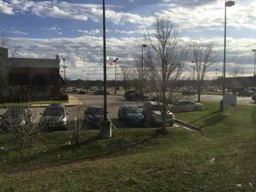
- 21st — awful between road & interstate highway
- turn right onto N Ruby Ln
- Turn right onto Ludwig Dr
- 22nd — hotels, sidewalk this side only, narrow grass
- 23rd sidewalk this side only, narrow grass restaurants
- 24th more restaurants, sidewalk both sides
- 25th ditto
- 26th sidewalk ends at bus stop, Drury planter
- 27th no sidewalk, just grass & curbs. Drury
- Turn right onto IL-159
- 28th — shoulder, worn grass sloping down
- turn left onto St. Clair Square
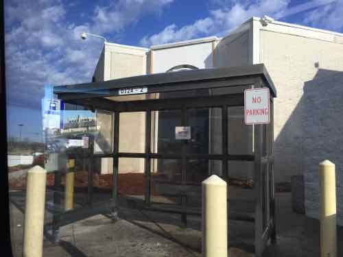
- 29th mall entry, shelter. No route to outparcals
- 30th — no sidewalk, grass curbs not accessible at all
- turn left onto Lincoln highway
- 31st ditto
- 32nd no sidewalk up to stop, little at corner
- 33rd — sidewalk, tiny grass strip
- 34th ditto
- 35th ditto
- 36th ditto, in O’Fallon
- 37th ditto
- 38th ditto
- 39th ditto
- 40th ditto
- 41st ditto
- 42nd ditto
- 43rd ditto taco bell
- 44th no sidewalk grass curbs
- turn right on Hartman Lane
- turn left on Central Park
- 45th sidewalk grass strip restaurants
- 46th ditto Chevy’s
- 47th sidewalk grass strip retail
- 48th ditto
- 49th ditto
- 50th no sidewalk this side, grass curbs can’t reach
- 51st sidewalk Menard’s
- 52nd no sidewalk this side, curbs/grass can’t reach
- Shiloh IL, Sturm left on Green Mountain Road
- 53rd no sidewalk, sloping grass shopping center
- pedestrian
- Turn left on Regency Park, back in O’Fallon
- 54th new construction
- 55th sidewalks, no access to businesses
- 56th sidewalk this side, not other. no access to hotel
- 57th sidewalk this side only, hotels
- 58th – no sidewalks either side, curbs/grass
- 59th sidewalks, grass strip
- turn right on us 50
- 60th shoulder drainage ditch
- follow 50 right curve
- 61st ditto
- 62nd — wide grass strip, new ramps to CVS
- 63rd wide grass strip between street & sidewalk
- 64th grass strip
- Turn right onto Cambridge
- 65th ditto
- 66th ditto
- 67th ditto
- 68th narrow grass strip
- 69th ditto
- 70th wide grass strip
- Turn right onto Green Mount
- 71st ditto
- 72nd ditto
- Right onto State at traffic circle
- 73rd — no sidewalk, just shoulder & drainage ditch
- 74th ditto
- 75th ditto
- 76th no sidewalk this side, curb & grass.
- 77th ditto
- Entering downtown O’Fallon
- 78th good — attached sidewalk
- 79th ditto
- 80th ditto
- Turn into bus transfer center
- 81st good — attached sidewalk
- Turn right onto S. Vine
- Turn right onto 3rd
- 82nd wasn’t able to exit here.
Basically this is largely impossible for those of us who are disabled, but a miserable experience for the able-bodied. None of this was built with any consideration for pedestrians — everyone is expected to drive everywhere. The reality is not everyone can drive. Physical, mental, emotional, and financial issues are some of the reasons why not everyone drives.
Sadly, this is the rule — not the exception. We’ve built so much that’s hostile to pedestrians and impossible for some of us. Tomorrow a similar example from St. Louis County.
— Steve Patterson