Home » Walkability » Recent Articles:

Reading: Within Walking Distance: Creating Livable Communities For All by Philip Langdon

April 24, 2017 Books, Featured, Walkability Comments Off on Reading: Within Walking Distance: Creating Livable Communities For All by Philip Langdon

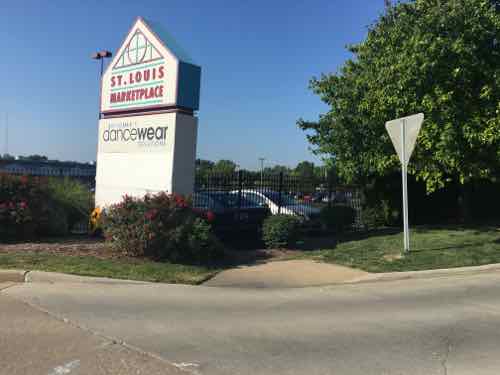
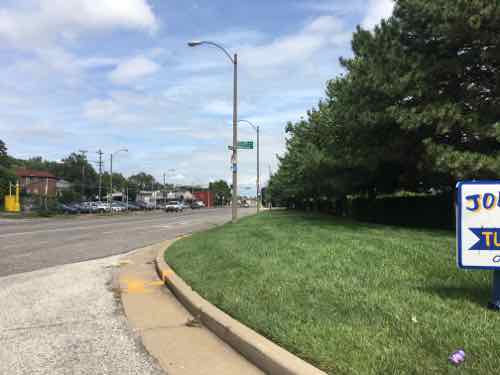
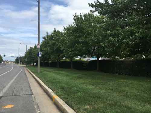
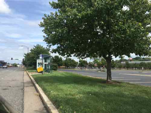
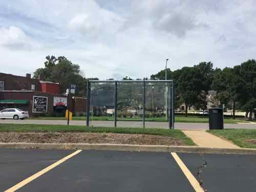
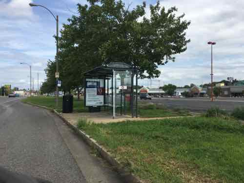
Last week I received a new book that immediately caught my attention. Within Walking Distance: Creating Livable Communities For All speaks to a core personal issue for me — walkability. Before the personal automobile displaced public transit, most everything in American cities was within walking distance. For nearly a century now Euclidean, AKA single-use, zoning has actively created places that are well beyond walking distance.

I’m not alone in seeking out walkable places:

For five thousand years, human settlements were nearly always compact places. Everything a person needed on a regular basis lay within walking distance. But then the great project of the twentieth century—sorting people, businesses, and activities into separate zones, scattered across vast metropolises—took hold, exacting its toll on human health, natural resources, and the climate. Living where things were beyond walking distance ultimately became, for many people, a recipe for frustration. As a result, many Americans have begun seeking compact, walkable communities or looking for ways to make their current neighborhood better connected, more self-sufficient, and more pleasurable.

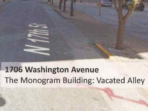
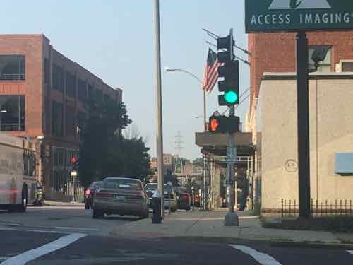
In Within Walking Distance, journalist and urban critic Philip Langdon looks at why and how Americans are shifting toward a more human-scale way of building and living. He shows how people are creating, improving, and caring for walkable communities. There is no one-size-fits-all approach. Starting conditions differ radically, as do the attitudes and interests of residents. To draw the most important lessons, Langdon spent time in six communities that differ in size, history, wealth, diversity, and education, yet share crucial traits: compactness, a mix of uses and activities, and human scale. The six are Center City Philadelphia; the East Rock section of New Haven, Connecticut; Brattleboro, Vermont; the Little Village section of Chicago; the Pearl District in Portland, Oregon; and the Cotton District in Starkville, Mississippi. In these communities, Langdon examines safe, comfortable streets; sociable sidewalks; how buildings connect to the public realm; bicycling; public transportation; and incorporation of nature and parks into city or town life. In all these varied settings, he pays special attention to a vital ingredient: local commitment.

To improve conditions and opportunities for everyone, Langdon argues that places where the best of life is within walking distance ought to be at the core of our thinking. This book is for anyone who wants to understand what can be done to build, rebuild, or improve a community while retaining the things that make it distinctive. (Island Press)

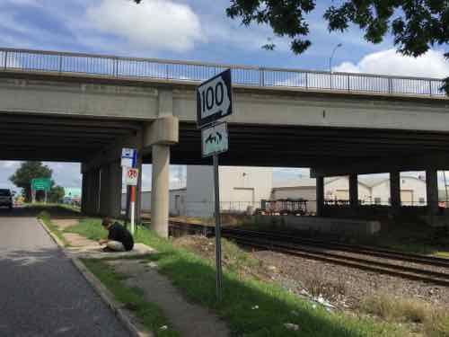
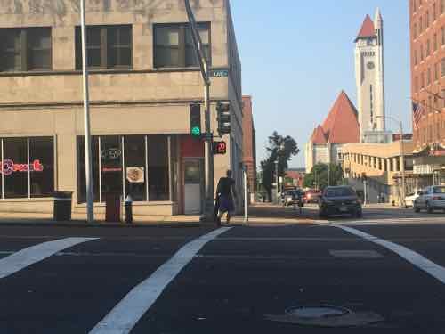
I’ve visited Portland’s Perl District and Philadelphia’s Center City, in July we’ll go to Chicago’s Little Village. Learning from other places is one of the smartest ways to get the inspiration to tackle neighborhoods that have great potential.

Within Walking Distance: Creating Livable Communities For All by Philip Langdon, releasing next month, is available via Island Press, Left Bank Books, and Amazon.

— Steve Patterson


Safety Expert Killed Crossing 4th Street 15 Years Ago Today.

March 20, 2017 Downtown, Featured, Walkability Comments Off on Safety Expert Killed Crossing 4th Street 15 Years Ago Today.

I post often about the poor pedestrian conditions in downtown St. Louis — such as these from last year:

Fifteen years ago this morning a safety expert was killed while walking across 4th street.

ST. LOUIS — A Washington state woman who was one of the country’s top experts on bicycle and pedestrian safety was killed yesterday morning when she was struck by a tour bus while crossing a downtown intersection here.

Susie Stephens, 36, of Winthrop, Wash., was struck shortly after 8:30 a.m. 

The driver of the Vandalia Bus Lines vehicle told police he did not see Stephens as he made a left turn.

Stephens, a consultant, was in St. Louis to help stage a conference on innovative approaches to transportation sponsored by the Forest Service, said William “Bill” Wilkinson of the National Center for Bicycling and Walking in Washington.

Stevens was just a year older than me.

This intersection has been improved, the crosswalk length shortened. However, pedestrians don’t get an advance signal to give them a head start.

There have been numerous events remembering her since she was killed here, this one from 2015 is touching:

The 2015 Stihl Tour des Trees began in Orlando Oct. 25. From there the group cycled 103 miles to Ruskin. Then 70 miles to Sarasota and 93 miles to Punta Gorda. Wednesday morning the group left for the 70 mile ride to Matlacha Park where they planned to plant a Live Oak Tree.

“In the course of this tour we will plant 13 new trees,” DiCarlo said. “Today’s tree is dedicated to Susie Stevens and The Susie Forest. Sadly Susie Stevens was struck and killed by a bus crossing the street in St. Louis in 2002. Her mother, Nancy McCarrow, has been volunteering for many years with the Stihl Tour des Trees planting trees in remembrance of her daughter. We call this collection of trees ‘The Susie Forest’. (Source)

Hopefully the next mayor will take pedestrian experience & safety seriously.

— Steve Patterson


An Example Of How The St louis Region Fails Pedestrians, Transit Users

Part of the implied contract when taking a bus to a destination is when you’re dropped off at your stop, you’ll be able to get to the corresponding stop in the opposite direction for the return trip. Seems simple enough, right? But in many parts of the St. Louis region being able to reach a bus stop in the opposite direction is impossible if you’re disabled. I don’t go looking for them, I run across them just going about my life.

Since the Americans with Disabilities Act of 1990 became law, transit operators, like Metro St. Louis, formerly Bi-State Development Agency, have equipped their fleet of buses with either a lift or ramp in new low-floor models. This permits those us who use wheelchairs to board every bus with access to hundreds of routes throughout the region — theoretically, at least. Bus routes are operated on municipal/county roads throughout our region. The responsibility for these public rights-of-way (PROW) are that of the municipality, county, or state — depending upon the entity that has assumed responsibility. Regardless, the transit agency generally isn’t responsible for the pedestrian infrastructure (sidewalks, curb cuts. etc) to/from their bus stops.

Today’s example involves a 2.5 mile stretch of Manchester Ave from McCausland Ave to Kingshighway Blvd — all in the City of St. Louis. A third of this stretch is fronted by the St. Louis Marketplace — a strip retail center that opened in 1992 — it was St. Louis’ very first TIF project. A former industrial area was reclaimed for retail by relocating railroad tracks further away from Manchester. The entire site was new from scratch and post-ADA.  Furthermore, Manchester Ave has had a bus route for the entire 26 years I’ve lived in St. Louis — probably for at least 3-4 decades. For years it was the #59, but after the Cross County MetroLink line opened in 2006 the #59 stops at Maplewood and the #32 was extended West to Maplewood.

The morning of August 11th my husband forgot his phone, so I decided to take it to him. His morning client lives a few blocks North of Manchester Ave. in the Franz Park neighborhood (aka Dogtown), 24th ward. With my car key I was able to leave his phone in the door pocket and a note on the seat. I needed to return to Manchester Ave and catch the #32 Eastbound.

I crossed Manchester at the light at Prather Ave, Google maps told me the stop was to the right. Thankfully ramps were built.
Looking West toward the bus stop
Thankfully my chair had enough power to roll over the grass. If it had been wet or muddy I couldn't have reached this bus stop . A user of a manual chair probably couldn't have. and finally, why should ab;e-bodied pedestrians have to walk through grass? The bus stop sign is attached to the light post.
Thankfully my chair had enough power to roll over the grass. If it had been wet or muddy I couldn’t have reached this bus stop . A user of a manual chair probably couldn’t have. and finally, why should ab;e-bodied pedestrians have to walk through grass? The bus stop sign is attached to the light post.

When I boarded the bus from this stop the driver asked me how I managed to get to the stop!  On the bus I noticed a stop further East that I’ve blogged about before.

A bench head been casually placed at the stop, partially blocking the pad that was barely big enough for a wheelchair user to turn around.

I paid attention to all the stops as we passed each one. I decided I needed to look at the entire stretch, not just one stop here or there. Again, the distance between Kingshighway and McCausland is 2.5 miles. There are 12 MetroBus stops in each direction.  All 12 in the Westbound direction are accessible — not ideal but adequate.  However, in the Eastbound direction only half are accessible/adequate.

Six aren’t accessible, although I was able to power through the grass to reach one of them. Four of these six inaccessible bus stops are in front of the St. Louis Marketplace, the retail development that was created 100% from scratch after the ADA became law. Let’s take a look.


Starting at Ecoff Ave on the West edge of St. Louis Marketplace, you can see the curb ramp in the lower right corner but it leads to grass not sidewalk
My guess is either the city or developer were supposed to add a sidewalk
This is the stop I used on August 11th
The next EB stop has a place for the bus to pull over and a shelter -- the city & Metro planned ahead for this stop
The next EB stop has a place for the bus to pull over and a shelter — the city & Metro planned ahead for this stop
The back side shows a curb prevents access from the parking lot
The next stop also has a space for the bus and a shelter, but no sidewalk along Manchester
This looks accessible. right?
Like the previous stop, a curb prevents access from the parking lot
The last of the four stops in front of the shopping center also has a shelter. Here you can see concrete was recently added -- the old walkway next to the shelter was too narrow to meet the ADA minimum.
The last of the four stops in front of the shopping center also has a shelter. Here you can see concrete was recently added — the old walkway next to the shelter was too narrow to meet the ADA minimum.
Oh yes, it's wide enough now, But no sidewalk leading to the bus shelter and shrubs are at the back
Oh yes, it’s wide enough now, But no sidewalk leading to the bus shelter and shrubs are at the back
Charter vans blocked my view of the walkway but it's safe to assume it has a curb like the two previous stops.
Charter vans blocked my view of the walkway but it’s safe to assume it has a curb like the two previous stops.
The next stop East of the shopping center isn't accessible at all
The next stop East of the shopping center isn’t accessible at all
But yes, Metro added a wheelchair pad in a recent round of ADA improvements. I guess we're expected to cross Manchester between signals to reach this stop? If I'm heading EB would a driver let me off at this stop? Anyone using this stop risks getting hit crossing Manchester.
But yes, Metro added a wheelchair pad in a recent round of ADA improvements. I guess we’re expected to cross Manchester between signals to reach this stop? If I’m heading EB would a driver let me off at this stop? Anyone using this stop risks getting hit crossing Manchester.
The bench that was blocking the stop at Hampton was moved after I tweeted about it, but seating is needed -- just not blocking the pad.
The bench that was blocking the stop at Hampton was moved after I tweeted about it, but seating is needed — just not blocking the pad.
And the 6th inaccessible stop is just East of Macklind
Metro also poured a pad here even though there's no safe way to reach it.
Metro also poured a pad here even though there’s no safe way to reach it.

Previous posts on a couple of bus stops on this stretch of Manchester:


Gee, I wonder why few walk or use public transit? Seems so inviting…

— Steve Patterson


Architects Labeled 17th Street An Alley

When Ald Davis & Ald Hubbard visiting our condo association on June 8th they left behind developer’s plans intended to convince to stop fighting the city giving away an important piece of the street grid: 17th Street. See: Proposed 17th Street Closure Would Reduce Safety & Security For Existing Residents Around Monogram Project.

I looked through the materials — many of which are Google Street View screen captures. They couldn’t even come take photographs?  One page explained a lot about the view of the developer & architects:

Google Street View looking North on 17th Street toward Washington Ave -- but how it's labeled that shows their lack of understanding
Google Street View looking North on 17th Street toward Washington Ave — but how it’s labeled that shows their lack of understanding
A close up shows they view 17th Steet as an alley

The final vote on BB64 will likely take place tomorrow, hopefully the full board will reject it outright.  Many signatures have been collected on petitions opposing the vacation of 17th St, from numerous adjacent condo projects. The Downtown Neighborhood Association has also gone on record in opposition. We want to see the Monogram/CPI building occupied, but not at our expense. The public uses 17th Street daily.

Thankfully we’ll know how each alderman voted after the fact — votes are now listed online.

— Steve Patterson


Poor/Inconsistent Pedestrian Experience: 18th Street & Olive Street

June 14, 2016 Downtown, Featured, Planning & Design, Walkability Comments Off on Poor/Inconsistent Pedestrian Experience: 18th Street & Olive Street

I thought I was done pointing out glaringly bad intersections for pedestrians, but on Saturday I went through one that was odd. Yesterday I returned to study.  Usually when I cross Olive Street at 18th I do so on the East side of 18th. Though I’ve lived nearby for over 8 years, I can’t think of one time I crossed Olive on the West side — until Saturday afternoon.

We were headed to the St. Louis Science Center, catching MetroLink and then a MetroBus. Knowing we’d need to be on on the West side of 18th I crossed at Locust and headed South. At Olive I pressed the button for a walk signal — something I shouldn’t need to do in a pedestrian-friendly city. The traffic light turned green but the pedestrian signal remained don’t walk. We were in a hurry to catch the train so we went based on the green traffic signal. Yesterday morning I went back to try to figure out why I didn’t get a walk signal after pressing the button. What I found is this intersection is one of the most inconsistent in the city.

Each crossing point in an intersection is called a leg, typical intersections have four legs. Intersections where are four are treated consistently is a challenge, but the is among the worst — if not the worst in the city. And it’s recent work!

Looking South across Olive from the NW corner

At the NW corner of 18th & Olive I see the traffic light turn green and the pedestrian signal remain on don’t walk. I press the button at the next red and when the light turns green the pedestrian signal remains don’t walk. At the next red I press the other button marked for crossing 18th Street. This time when the light turns green the pedestrian signal gives a walk symbol. It should be noted, the pedestrian signal to cross 18th St always gives a walk sign when the traffic signal is green.

Looking South across Olive from the NW corner

Pushing a button to cross Olive but not a side street is consistent with the other intersections redone along Olive at the same time. After posting about Olive & Leffingwell in April I was told by the City’s bike/ped coordinator, Jamie Wilson, that a button was necessary to cross Olive there because vehicle traffic on Leffingwell is infrequent and they didn’t want to stop traffic on Olive to cycle through stops when there were no pedestrians or vehicles to cross.  Makes sense…at Leffingwell.  Leffingwell is one of the many streets where the city gave away the public right-of-way to private interests a block South of Olive. PROW that doesn’t so through sees fewer vehicles & pedestrians.

Back to 18th & Olive — 18th Street is always a busy street. Recently many MetroBus routes were moved to 18th. So switch the buttons and it’s fine?  I decided to check every corner to see. So I pressed the button to cross 18th  so I’d get a walk signal to cross Olive.

Looking North across Olive from the SW corner

At the SW corner I pressed the button to cross Olive. Like the NW corner, I didn’t get a walk sign. Thinking it must also be reversed like the NW corner, I pressed the button to cross 18th. Still nothing, neither button activates the walk signal for NB pedestrians wanting to cross Olive on the West side of 18th Street!

Looking North across Olive from the SE corner

I crossed 18th to the SE corner — no button is necessary — these always give the walk signal when vehicles get a green light. Interestingly, the pedestrian signal gives a walk sign when the traffic light is green regardless of the button or not. It’s possible pressing the button adds additional crossing time. I crossed to the NE corner.

Looking South across Olive from the NE corner, the automatic walk light

Southbound pedestrians don’t need to press the button to cross Olive on the East side of 18th. Same as those crossing NB. What’s different is those crossing SB get a countdown timer, those crossing NB do not.

Looking South across Olive from the NE corner, the countdown timer has started

So I have many questions for Jamie Wilson:

  1. Why only one countdown timer?
  2. Why do three legs automatically get a walk sign, while the forth doesn’t?
  3.  Why don’t NB pedestrians on the West side of 18th ever get a walk sign?
  4. For the legs where pedestrians do get a walk sign, does pressing the button give additional crossing time?
  5. Why not have all four legs automatically get a walk sign?

It should be noted this work was done prior to Mr. Wilson starting his current position. It was done either by the Board of Public Service  (BPS) or the Streets Dept, not sure which. Hopefully I’ll know more soon, and the city will clean up this intersection’s bad pedestrian experience.

— Steve Patterson


Advertisement


[custom-facebook-feed]

Archives

Categories

Advertisement


Subscribe