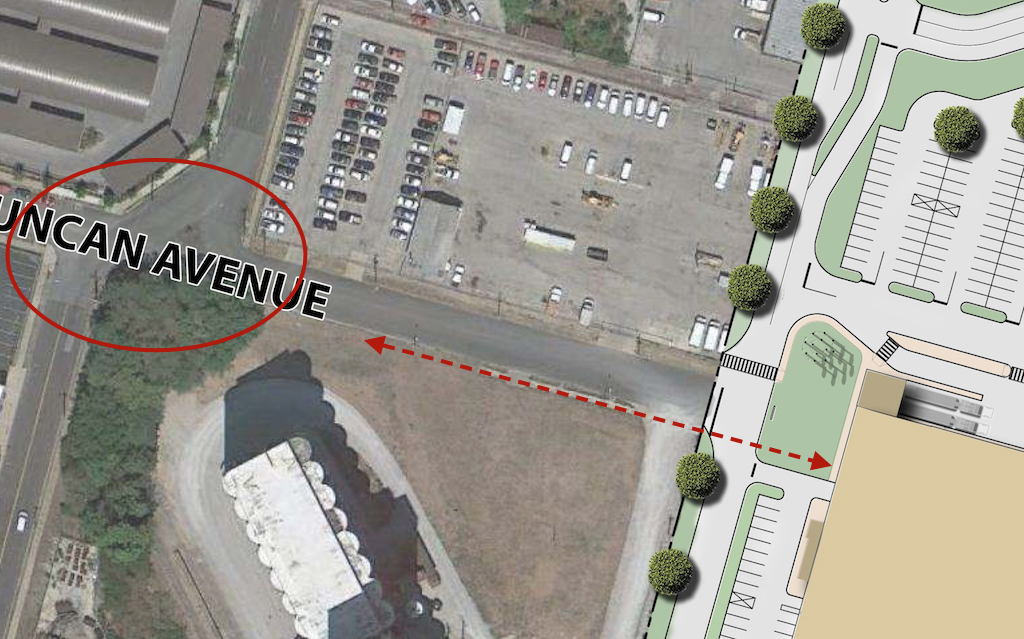
Last week I looked at Duncan Ave and how it ends at IKEA, from a visit on the 11th. Today we’ll look at the access points to IKEA from Duncan Ave., Forest Park Ave., and Vandeventer Ave., from a visit on the 23rd.
Ended last week’s post on Duncan Ave. looking back West from the IKEA property line
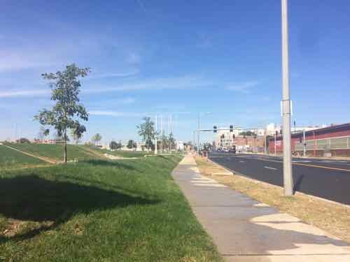
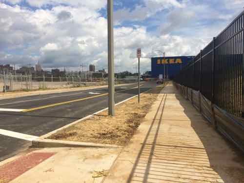
I’d arrived at this point by coming East on Duncan. Today let’s travel the way many pedestrians will, from Sarah & Forest Park. I got off the #10 MetroBus on Lindell at Sarah, then headed South., about a third of a mile
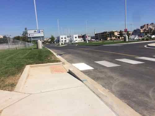
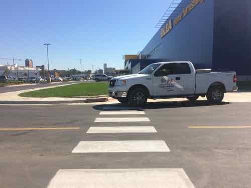
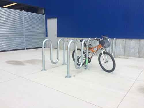
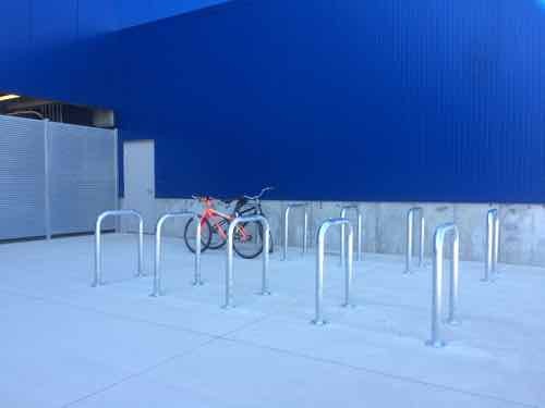
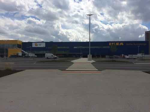
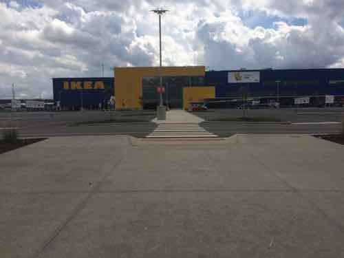
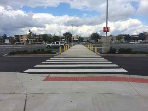
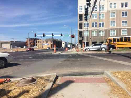
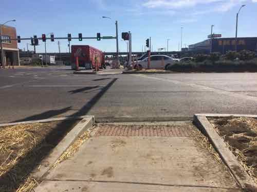
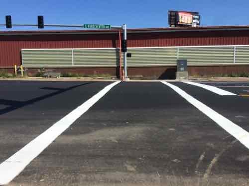
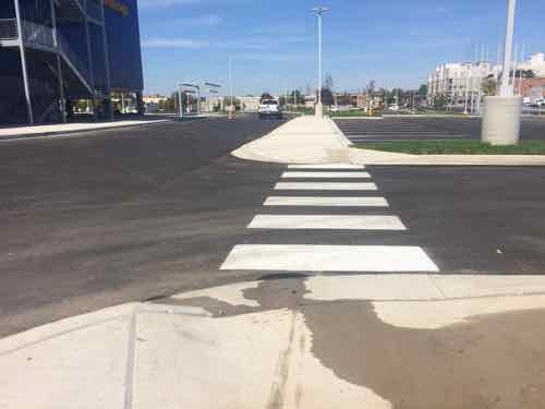
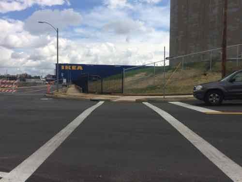
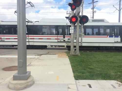
Looking South across Forest Park. The new crossing pedestrian refuge is just getting finished. IKEA is to the left, just out of viewLooking back North after crossing, Hopefully the crosswalk striping will be done soon. Note that it’s a straight shot from side to center to opposite side.The crosswalk & stop line at the East end of Duncan Ave weren’t painted when I visited on the 11th, but it had a basic upon return. This is within the public-right-of-way.Now we start into the West entry to IKEA’s site. Once the new MetroLink light rail station opens this may see a lot of foot traffic. IKEA uses the more visible ‘continental’ crosswalk on site. This auto drive leads out to Forest Park Ave.Looking East toward the store, a construction truck is blocking the view & crosswalk, but they were trying to finish up.On the 11th I was horrified to see four of these awful bike racks placed too close together. Upon inquiry I was told they were temporary, the permanent racks to be installed soon.Less than 2 weeks later excellent inverted-U racks had arrived & were installed. The employees using the racks need to be shown how to use them so their bikes are supported.
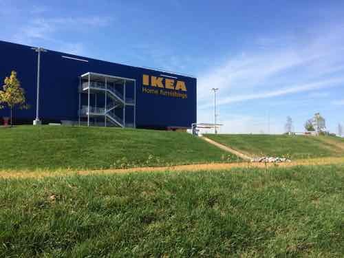
Next let’s assume that after crossing Forest Park Ave I’d headed East to enter IKEA. These photos are all from my visit on the 11th.
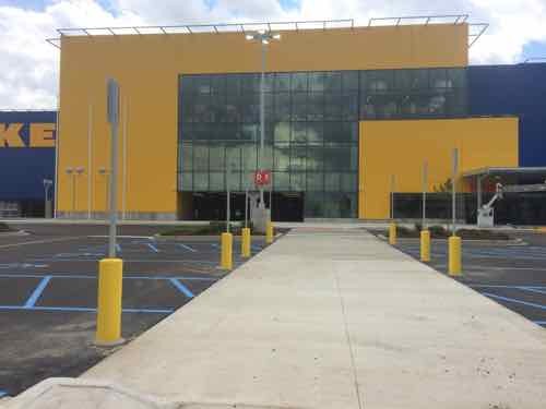
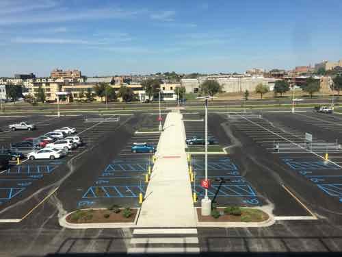
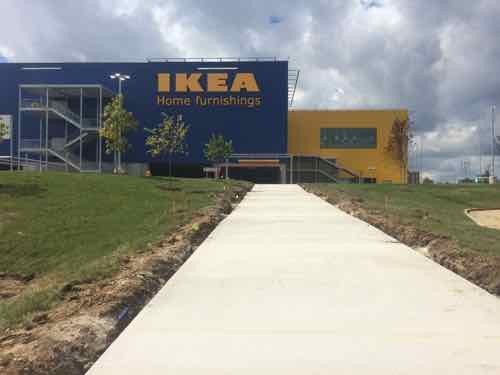
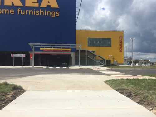
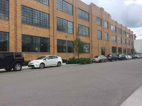
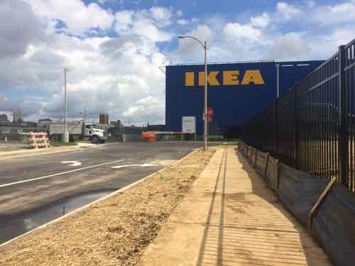
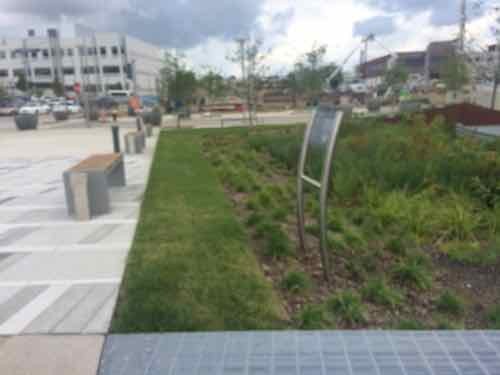
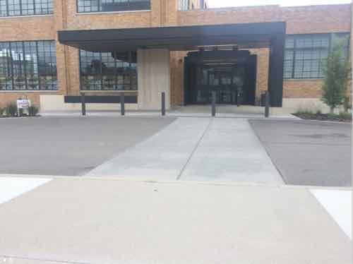
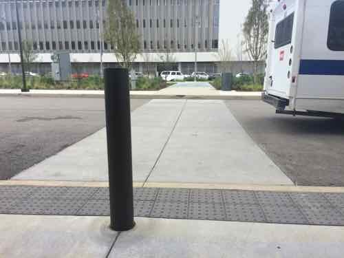
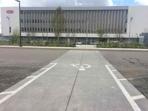
At the edge of the property is the only auto entrance on Forest ParkWe continue East, after crossing this major in/out vehicular driveAfter crossing the drive we can clearly see IKEA beyond the storm water runoff collectorThe first of two pedestrian routes from the Forest Park public sidewalk to the IKEA. Let’s continue East toward Vandeventer Ave and enter on the other accessible routeLooking back we see the walkway crosses over the drainage area.At the other pedestrian entry we can look bak West toward Sarah. The parking lane along Forest Park remains, it would be nice if the city striped it with a solid white line to separate it from the outside drive lane.Looking South at the IKEA entryFrom the walkway looking back North toward Forest Park AveAlmost to the entrance, disabled parking is on both sides of this walkway and under the buildingIn front of the entry looking North. Pedestrians have two ADA-compliant options for getting through the front parking lot. Every big box store needs to do this!From the 3rd floor restaurant looking North we can see the path we just used to get inside from the public sidewalk.
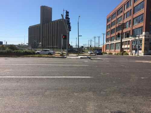
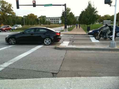
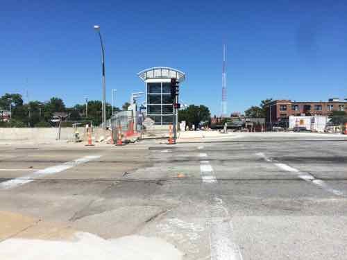
Now let’s go out to the intersection of Forest Park Ave & Vandeventer Ave, the city has been busy trying to make it better for pedestrians.
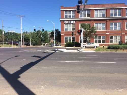
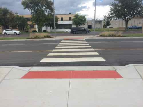
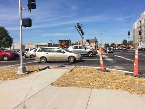
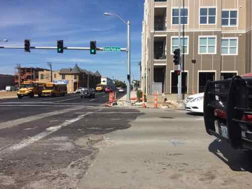
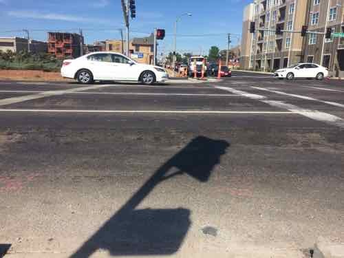
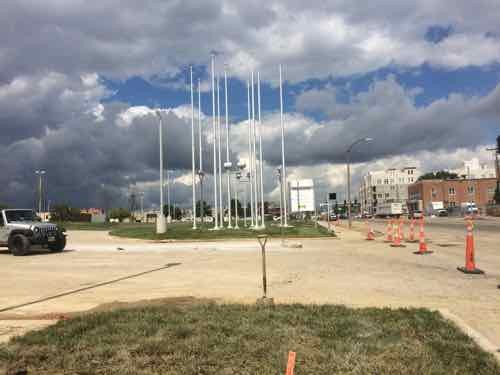
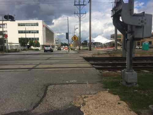
Like we saw at Sarah, crosswalks aren’t yet marked, so vehicles stop where they block the crossing point.Looking North after crossing Vandeventer. Unlike at Sarah, the route here isn’t a straight shot. From the pedestrian refuge in the median I see the curb ramp on the other side aren’t finished. At this point I notice the pedestrian signals speaking for the visually impaired say “Forest Park Parkway” instead of “forest Park Avenue” The visual signs on the street lights are correct thoughGot a break so I can cross..hopefullyLooking back South we see this side has a zig zag pattern too. This will become more apparent once the crosswalk stripes are done.
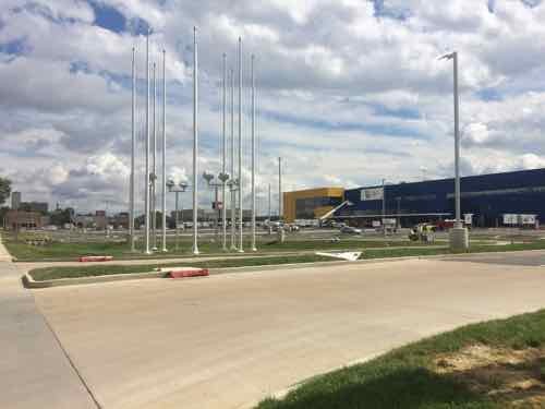
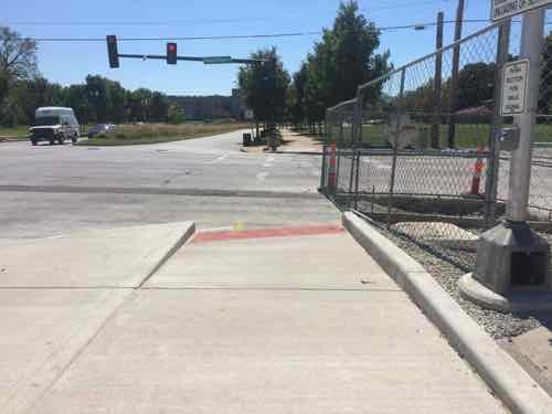
And last let’s look at access points from Vandeventer Ave. With Saint Louis University nearby and a retail development coming across the street pedestrian volume in this area will rise sharply. These photos were taken on the 11th, 23rd, and 26th.
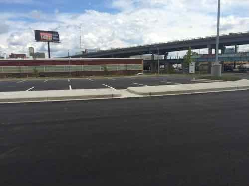
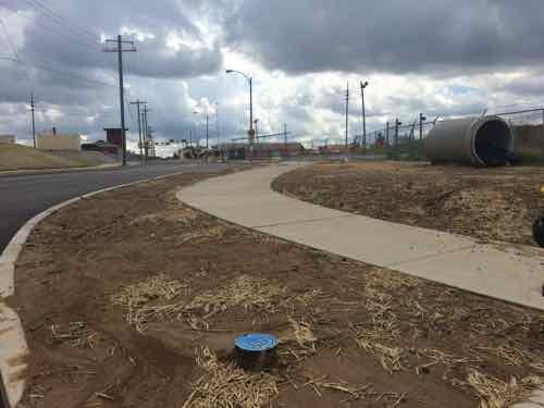
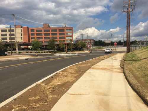
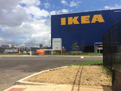
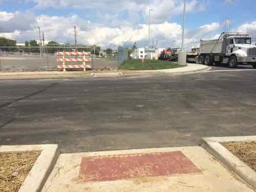
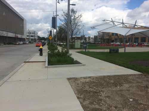
A new signalized intersection on Vandeventer Ave for IKEA Way, which is located about where the non-signalized Duncan Ave was. A new crosswalk was added to the South side of the intersection. Eventually the site to the East will be a retail development. Sept 23rdLooking North we can see the primary vehicular entry from Vandeventer, IKEA Way. Sept 11thTurning again we see a pedestrian entrance up the hill. This is an ADA ramp, due to the grade it has periodic flat rest points, the side handrails weren’t yet installed on the 11thAt the top we see a clear path the entry, only having to cross traffic at one point. Ahead is the exit from the parking level below the building.This East view from the 3rd floor restaurant gives you an overview. Sept 23rd. The parking at the bottom is the “family parking” area
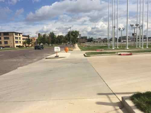
There’s a second entrance off Vandeventer for vehicles, and some pedestrians.
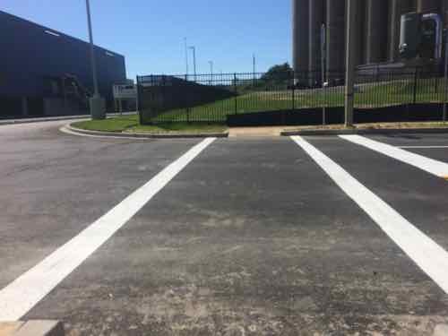
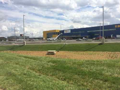
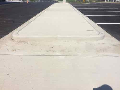
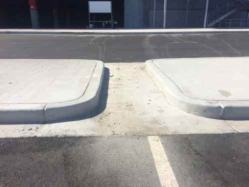
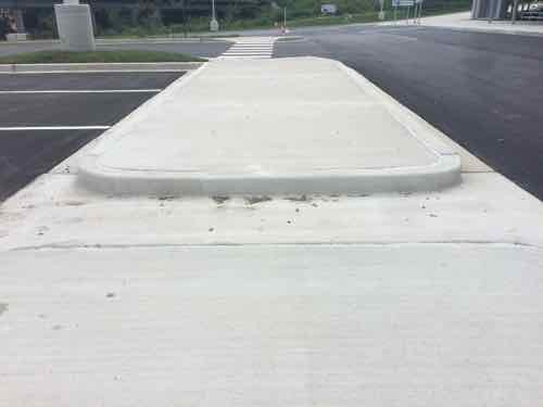
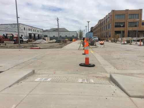
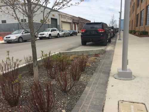
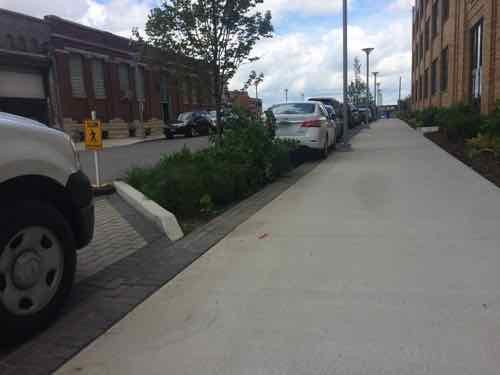
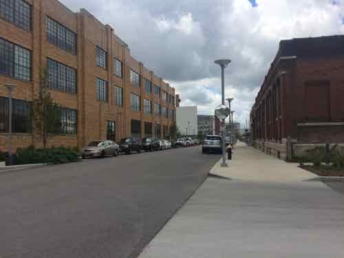
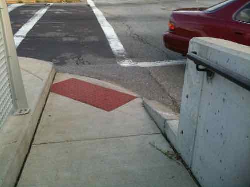
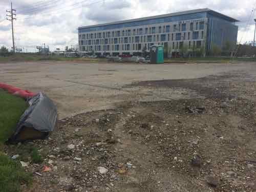
For those coming from the South, such as The Grove, this is the view along Vandeventer before reaching the pedestrian entry & IKEA WayBut navigating this would be a challengeBut they’ve got a sidewalk for pedestrians and a drive for motorists.From the top we turn to the North and we can see the pedestrian route is clearly marked. Onward…But we soon run into a major problem. If you can’t see it that’s part of the problem.Here’s a side view so help you see the uncovered drainage channel breaking up what appears to be a pedestrian route.The opposite view. which I encountered on the 11th when I almost didn’t see it aheadAnother side view, this taken on the 11thAnd looking out toward Vandeventer
Obviously someone screwed up! This is a pity, they were doing so well too. Yes, they have other entries which are ADA-compliant, but this is just stupid — compliance would’ve been so easy had they provided a way to set in a steel plate/grate to cross over the drainage. Someone is going to get hurt here. Despite this mistake, IKEA did more than what is required by the ADA and St. Louis. Pedestrian access turned out better than I’d expected.
Other retailers & developers — please take note they have provided pedestrian access from all three public streets adjacent to their property!
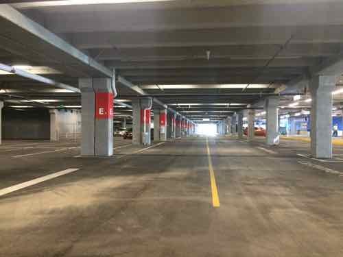
As previously mentioned, the 2-story IKES is elevated over a level of parking
Tomorrow I’ll take you inside the IKEA store, with photos I took last week following the media lunch & during Saturday afternoon’s family & friend’s day.
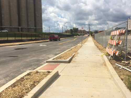
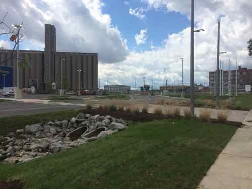
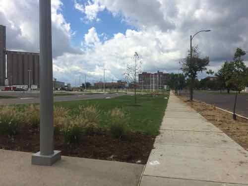
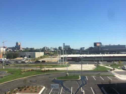
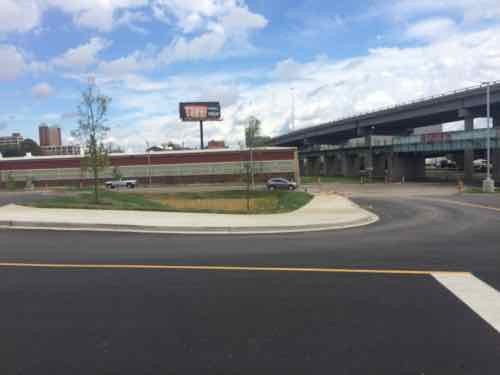
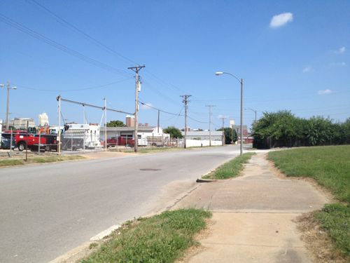
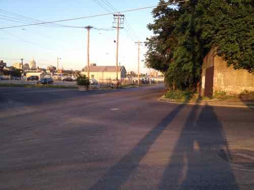
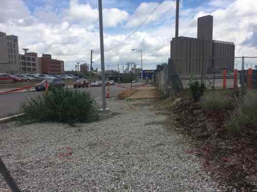
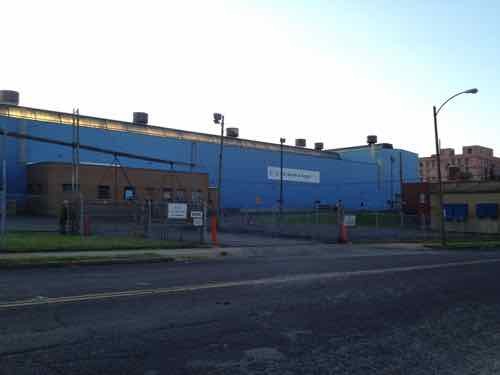
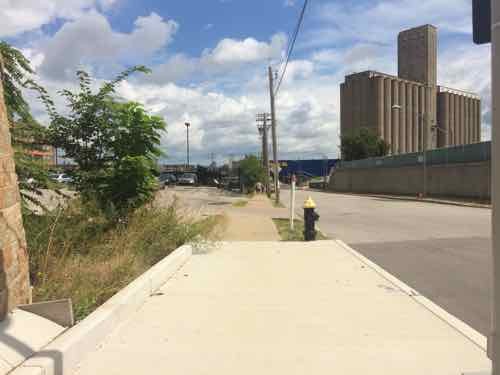
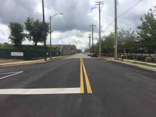
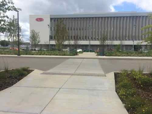
Current site plan doesn’t show pedestrian access from the south side of Duncan Ave., intersection at Sarah needs to be addressed to connect IKEA to MetroLink.Looking east from in front of the grain silo toward the future IKEA. A sidewalk exists currently.
In 2013 I was focused on the horrible intersection of Duncan & Sarah and getting into the IKEA site. The odd configuration made it horrible for motorists, pedestrians, and cyclists.
May 2012 — looking East across Sarah from the South side of Duncan.
Thankfully, this has been addressed, as you’ll see later.
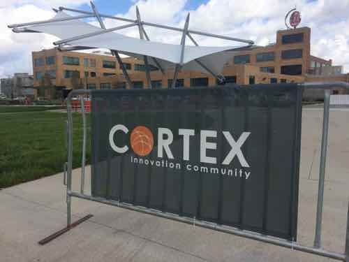
Today let’s start at Boyle and the CORTEX Commons — and head East to IKEA.
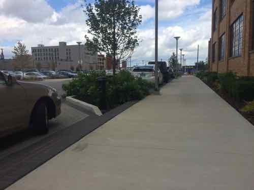
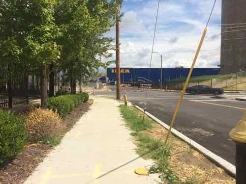
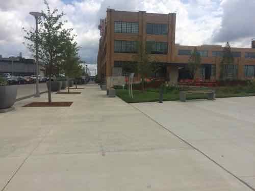
Looking East across Boyle on the North side of Duncan in April 2015Trees planted in the parking lane on the South side of Duncan in front of the @4240 building, also April 2015This similar view from Sept 11th shows the plants have matured, the parking paving is permeable. If you look closely you can see the side of IKEA’s big blue box at the end of the sidewalk.A little further East. In St. Louis this is a very generous sidewalk, in Chicago it would be on the smaller side. Still, I like that it is so open.Back on the North side we can see how the trees break up the line of parked cars.Looking back West toward Boyle, the North side didn’t get the same treatment with street trees.During my visit on the 11th work was still ongoing on the South side of Duncan just before SarahPart of the work is on the adjacent site where this massive US Metals building used to be. View from Sarah, May 2012The former office on Sarah was also razed, which is a shame. May 2012.Ok, so we’re back on Duncan facing East. Because the sidewalk was out on the South we’re on the North.As we approach Sarah we can see it looks different than beforeBefore we look at Sarah, a look back West on DuncanNow looking East across SarahHere’s the May 2012 photo from before so you can compare them, The tall wall is gone and the traffic flow shifted.Turning South we can now see how Sarah curvesThis view looking North from the East side of Sarah shows how Sarah now curves to the right for a conventional intersection at DuncanLooking East after crossing SarahGetting closerThe sidewalk on the South side of Duncan ends, but a crosswalk point to the North is providedLooking North, the crosswalk wasn’t marked on my visit but paint crews were working on site. This would’ve been an excellent spot for a raised crosswalk.Looking back West.
Monday next week I’ll take a closer look at the various pedestrian access points to IKEA St. Louis, as well as a peak inside!
Duncan Ave is bookended by BJC hospital just West of Taylor, and IKEA just East of Sarah — about a mile total in length — the pedestrian experience is highly inconsistent and doesn’t begin to approach friendly. Yet, this is the mile stretch the CORTEX Master Plan says should be pedestrian-friendly, the primary East-West means for pedestrian circulation. At best it’s less hostile in a few spots than it was a few years ago.
I often post about accessibility problems, but today’s post is about a problem that’s finally getting addressed. The reconstruction of the DeBaliviere viaduct/bridge over MetroLink tracks is making great improvements to crossing Forest Park Parkway (map). Tuesday I saw the improvement on the newly-opened West side.
Before: The ramps on each side heading South weren’t the best, the crosswalk was pushed out right next to traffic. September 2010Before: we had to use a narrow ramp reach the crosswalks. If you’re waiting to cross a street someone crossing the other would be blocked. These were also trip hazards to others. September 2010After: Now the ramp is wide and directional. The crosswalk won’t be up against Southbound traffic anymore.After: Looking back North you can see the West side isn’t totally finished.
After the East side and the crosswalks are complete I’ll do another post. I’m just so thrilled at the ramp improvement!
Hopefully the pedestrian signal buttons, once activated, will be solely for the visually impaired to get audio signals about when to cross. Other pedestrians shouldn’t need to press a button to get a walk signal.
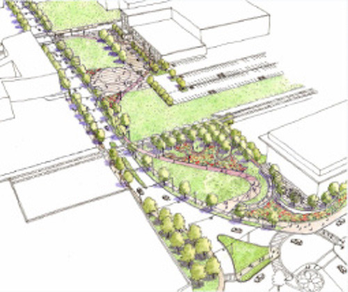
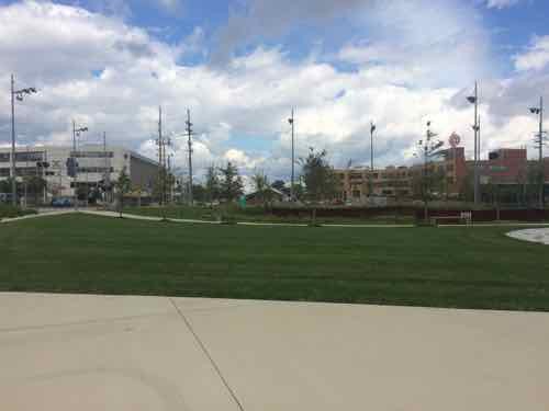
The masterplan for St. Louis’ technology district, called CORTEX, included a significant green space. Originally formed in 2002, the green space is just now being completed. Here is how they describe the CORTEX campus:
The intent of the CORTEX Master Plan is to create well-designed public open spaces that will contribute significantly to the quality of life within the district, community and city. The Master Plan calls for the creation of the CORTEX Commons, a public park that will be accessible to all who work and live in the district and surrounding neighborhoods.
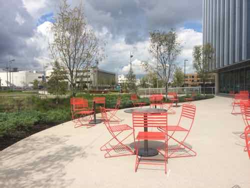
The Commons: right in front of the @4240 entrance you’ll find a beautiful green space with areas for relaxing, meeting, or just enjoying the fresh air.
Restaurants/Cafes: surrounding the @4240 building will be cafes, restaurants and other places to grab lunch, dinner, or have cocktails after work.
Living Space: within walking distance of @4240 are lofts, apartments and other living spaces that allow for a commute that is literally minutes away.
Shops: retail space will be part of the new Phase II expansion, providing convenient shopping and unique boutiques all within a short stroll of the office and laboratory space.
Transportation: getting to and from work will be simplified for those driving as well as those wishing to use public transportation. A new highway interchange at the major east-west Interstate 64 provides convenient access for drivers, plus a new MetroLink light rail station will be within a block of the @4240 building.
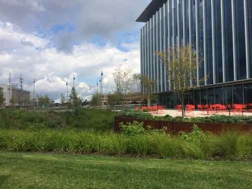
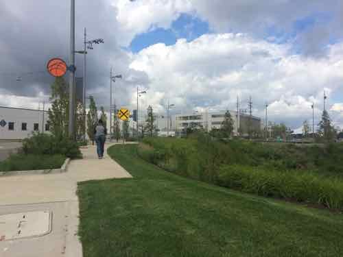
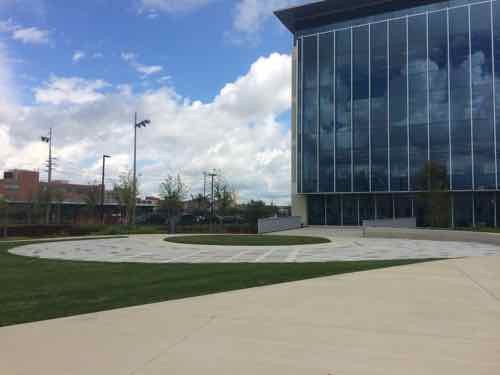
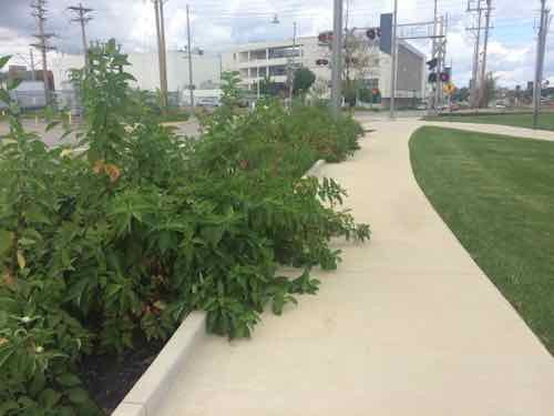
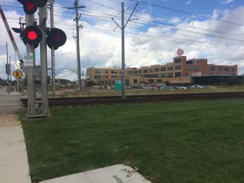
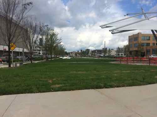
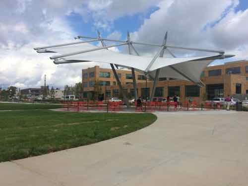
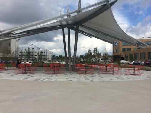
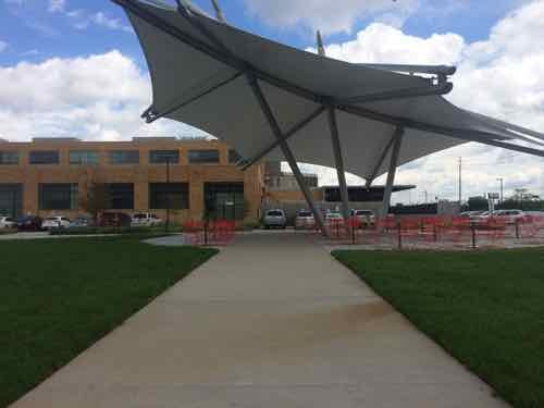
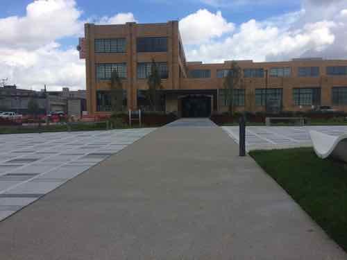
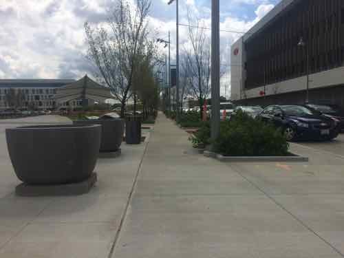
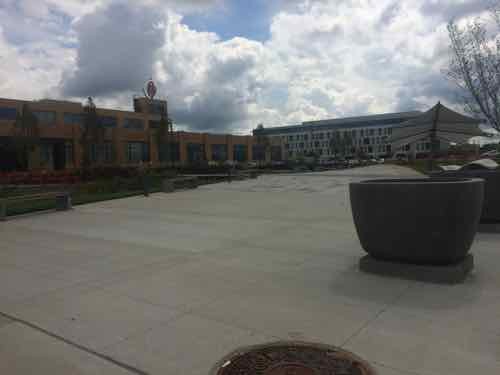
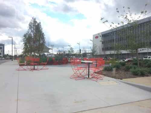
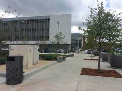
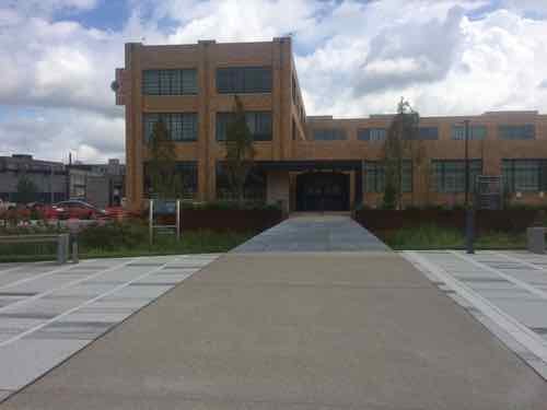
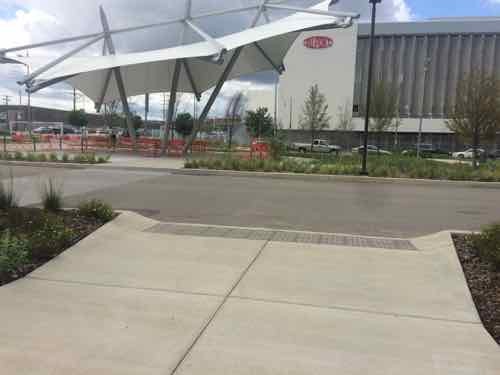
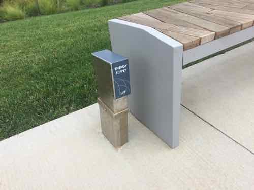
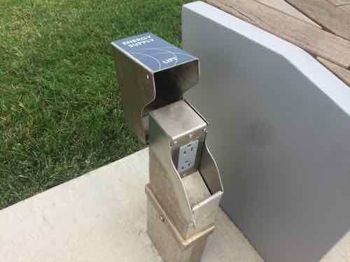
The visitor sees lush landscaping, at right is the new BJC @ The Commons buildingTurning to the left we see the sidewalk follows the curve of Boyle. The orange circle is the logo for the CORTEX Commons. In a couple of places the sidewalk make a sharp shift.An open area hardscape area to the West of the buildingLooking back toward Clayton we can see the sign marking the rain garden and the patio beyond. I couldn’t get close enough to the sigh to read the body text. Numerous such signs throughout are also too far away to be read.Looking North from the patio, the movable tables & chairs are better than fixed furnishings — allows people to rearrange.Back out by the hardscape circle, looking NorthHeading North on the Boyle sidewalk these plants in the rain garden are already reducing the sidewalk width. This is the only plant choice I didn’t like.We can now see the light rail line, known as MetroLink, divides the space. Will discuss the renovated building in the background later in this post.The sidewalk narrows at the track crossing, this is the low point in the experience.With the train gone we can cross.Looking back South after having crossed the two MetroLink tracks and a third extra track (nearest)Looking back North we are again faced with the sidewalk making a hard shift to the right. The parked cars on Boyle don’t have a bulb out to enclose the parking lane.Turning toward the Southeast we can see an unfinished spot, this is likely to connect to the new light rail station to be built. Hopefully the track crossing will be improved at that time.Approaching the @4240 buildingLooking North. DuPont, formerly Solae, is across Boyle on the left.Turning Eastward we see the centerpiece shade canopy.Looking North at the canopy, the same movable tables & chairs are used.Back at the sidewalk parallel with Boyle we see the first of numerous connections to draw you into the space from the edge.The Northernmost of the connections leads right to the @4240 building entrance, more on that in a bit.Looking back South along the Boyle sidewalkLooking diagonally into the CORTEX CommonsLooking East along Duncan Ave, the main East-West spine in the district.Looking South from a position closer to the @4240 building we see another patio with the same movable furnishings. Most of this area is a metal grate over a rain garden.Looking back West toward Boyle, with DuPont/Solae in the backgroundBack in the Commons we can approach the @4240 building after crossing the rain garden on the metal grate pedestrian bridge — love this!Another pf the informational signs that can’t be read from the paved areasLooking out to Boyle & Duncan we can see the South facade of the first CORTEX building. It was built without an ADA-complianfr accessible route and hasn’t yet been correctedThe paving clearly directs the user to the entry but the the curb on this side of the drive prevents me from continuingThe view out from the entry shows the accessible entry on the near side and the non-accessible curb on the far side. D’oh!The next area, connecting to accessible parking, has the same problemAnd the next one, a good place for a raised crosswalkAnd again. Clearly, someone goofed! The disabled shouldn’t have to go all the way to the Duncan public sidewalkTo finish on a positive, here’s a detail I liked. Next to fixed benches are power outlets.Just lift the cover and plug in your phone, tablet, laptop, or wheelchair.
I hope get CORTEX to correct the accessibility issues to the @4240 building. Read more about the building and how it is being used here.
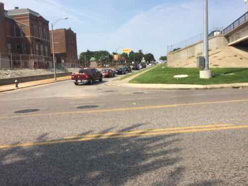
Last week I was near Manchester & Hampton doing research, I arrived & departed on the #32 (ML King-Chouteau) MetroBus. Arriving the bus was headed West on Manchester, so the stop was on the adjacent sidewalk. For the return trip I needed to catch the bus as it headed East on Manchester — no sidewalk on that side. But there is a just big enough concrete pad. I didn’t get a pic from across the street but you can see it on Google Street View here.
It took a while but I finally got a break in traffic where I could quickly cross Manchester to the stop I needed.
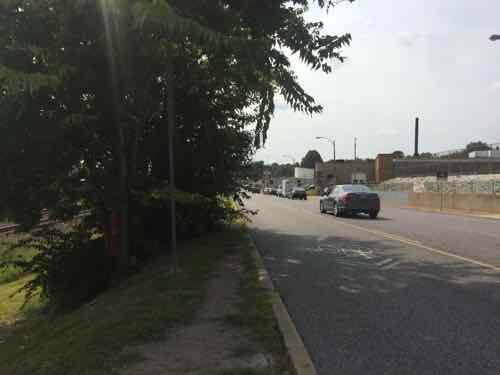
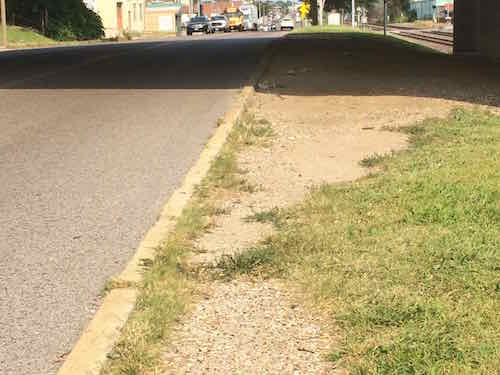
Looking North from Metro Stop ID: 13572Looking West I was concerned the bus driver wouldn’t be able to see me. A path was worn in the grass from others using this stop.The ground was also worn East of the stop.
I was right at the edge waving as the bus approached. Another passenger got off at my stop so she stood close to my wheelchair on the small pad while the driver extended the lift so I could board. Would the driver have seen me if a passenger wasn’t wanting to exit at my stop?
I had wanted to go to the next stop to the East where I could cross at a crosswalk, but vegetation (upper left of last photo) blocked the sidewalk.
So who’s responsible?
Metro
MoDOT
St. Louis
All three are involved, but fragmentation means the pedestrian experience here sucks. The quick solution is to trim the vegetation in both directions. A crosswalk with warning signs for motorists to stop for pedestrians would be relatively cheap. I’m going to email Ald. Vollmer (10th) & Ald. Ogilvie (24th) to let them know about the issues here.
AARP Livibility Index
The Livability Index scores neighborhoods and communities across the U.S. for the services and amenities that impact your life the most
Built St. Louis
historic architecture of St. Louis, Missouri – mourning the losses, celebrating the survivors.
Geo St. Louis
a guide to geospatial data about the City of St. Louis