Home » Accessibility » Recent Articles:

East-West Gateway’s ‘Great Streets’ Examined W. Florissant In Jennings, Ferguson, & Dellwood

Looking South on W. Florissant in Dellwood, MO

A reader comment on West Florissant Ave Part 2: QuikTrip to Chambers Rd alerted me to the fact the Great Streets Initiative, through the East-West Gateway Council of Governments, had recently looked at West Florissant:

Vision Statement:
The Vision for West Florissant Avenue comes from community and stakeholder input received through multi-faceted outreach efforts. These have included public workshops and virtual walking tours, interviews with community leaders, input from the Community Committee and Technical Advisory Committee, an Agency workshop, and an online survey and mapping tool. The Vision Statement has distilled this community and stakeholder input, with the most significant community values expressed as how the corridor should look, feel, and contribute to the community’s future. 

Project Area:
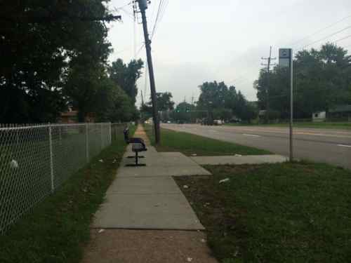
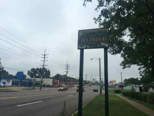
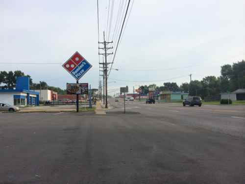
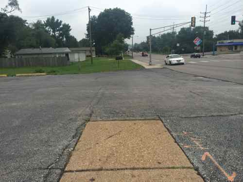
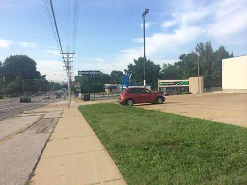
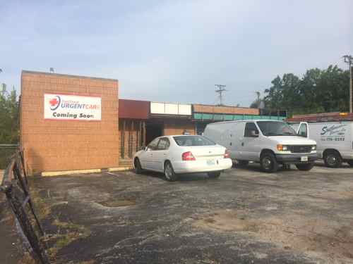
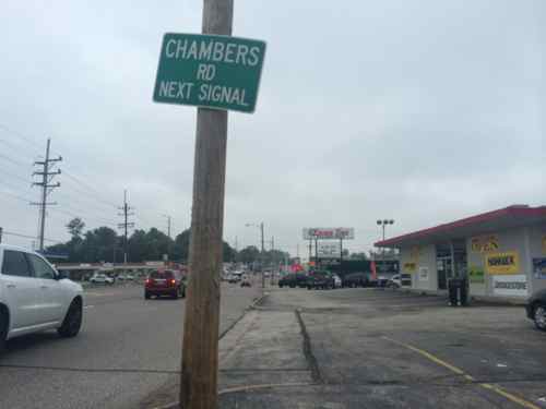
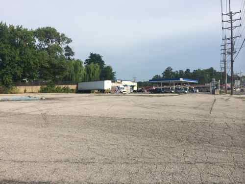
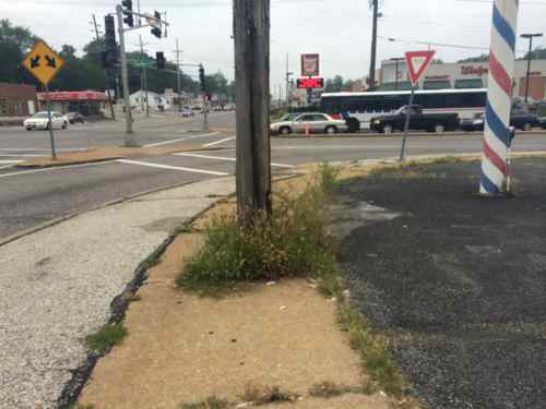
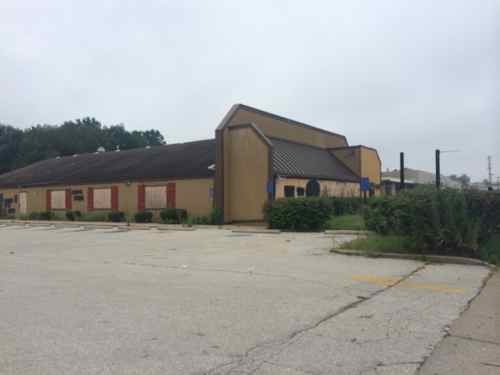
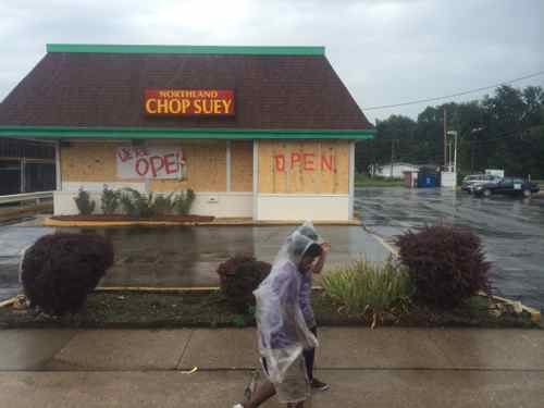
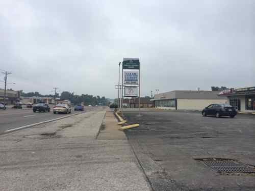
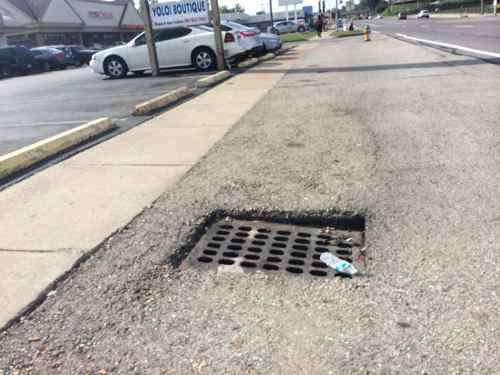
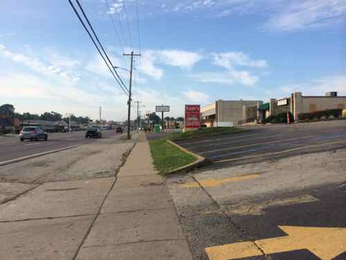
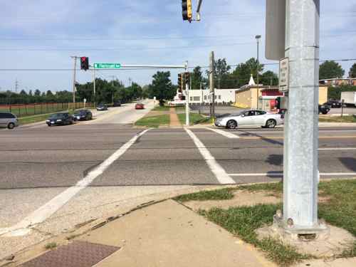
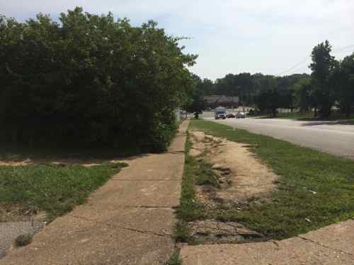
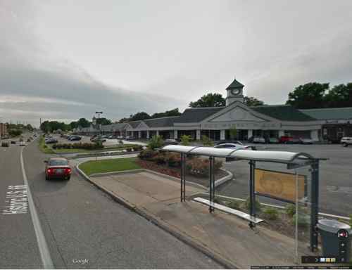
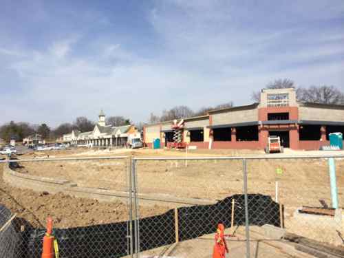
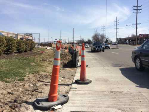
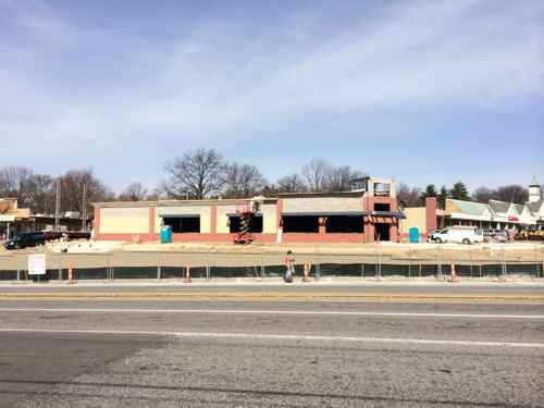
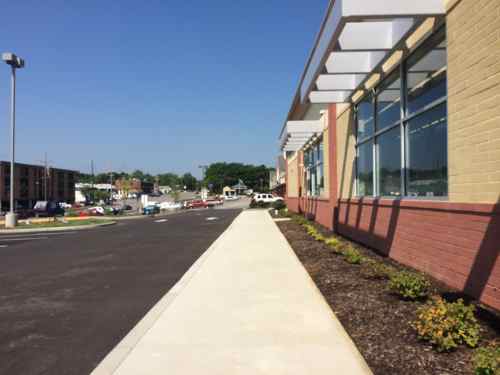
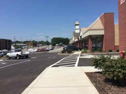
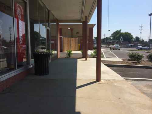
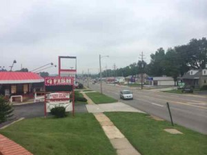
The West Florissant Avenue Great Streets Project area is located in North St. Louis County, within the cities of Ferguson and Dellwood (Map 1.1). The Project area extends for approximately 2.6 miles, beginning at I-270 in the north and continuing to the East-West rail line at Emerson Electric headquarters and Buzz Westfall Plaza in the south (Maps 1.2 and 1.3; note change in map orientation). Th e Project area includes parcels that front the corridor, plus additional parcels along the key intersecting streets of Pershall Road and Chambers Road. Th e street corridor itself is owned and maintained by St. Louis County. Th e Project area parcels are about evenly divided between the cities of Ferguson and Dellwood; a few parcels also fall within Jennings city limits at the southeast end of the corridor. Several key landmarks and retail centers are located within or near the Project area. Dellwood City Hall is near the intersection of West Florissant Avenue and Chambers Road. The Project area also includes Dellwood Park and Dellwood Recreation Center. St. Louis Community College Florissant Valley Campus is just outside the northwest end. In addition to these landmarks, there are 160 acres of open space or park within one mile of the Project area, including open space associated with Maline Creek. A major shopping center is at the northern end of the corridor, with access to I-270. Just outside the southern end of the Project area, Buzz Westfall Plaza is another major retail center. The West Florissant Avenue corridor has been designed primarily to serve motorized vehicles, which is reinforced by the direct access to and from I-270 the road provides. The corridor is served by Metro Transit bus route #74, one of the most heavily-used lines in the system, and a future transit center is planned for Pershall Road in the northeast part of the Project area; its estimated completion date is in 2015. While sidewalks are present, many other pedestrian amenities are not, and the corridor is not pedestrian-friendly. The corridor currently does not have designated bicycle facilities, and is little used by bicyclists. As communities take an increasingly holistic view of streets and incorporate more of these Great Streets principles, our streets will serve multiple functions and become better places.

The supporting documents are on their West Florissant page, I’ve uploaded each to Scribd for quick reference:

The collection of the above can be viewed here.

I hope to dig into these documents soon, but I’m happy to know so much effort has already gone into planning for a better W. Florissant!

— Steve Patterson


West Florissant Ave Part 2: QuikTrip to Chambers Rd

September 4, 2014 Accessibility, Featured, Ferguson, Planning & Design, St. Louis County, Walkability Comments Off on West Florissant Ave Part 2: QuikTrip to Chambers Rd

Yesterday I looked at the W. Florissant streetscape from the Ferguson Market to the QuikTrip, today I’ll continue northward making our way from Ferguson into Dellwood.

Burnt out QT at 9420 West Florissant on Monday Aug 11, 2014, 9:37am
Burnt out QT at 9420 West Florissant on Monday Aug 11, 2014, 9:37am. What will replace the QT? A new QT? A used car lot? A new commercial development? A park?
North of the QT the area changes from suburban commercial to suburban residential, W. Florissant is served by the 74 MetroBus route
A woman walking her dog on Nesbit Dr
A woman walking her dog on Nesbit Dr in the Northland Hills subdivision of late 1950s ranch homes
On the east side, after Nesbit Dr, you get a long stretch with no intersecting streets, a concrete creek separates W. Florissant from backyards
On the east side, between Nesbit Dr & Highmont Dr, you get a long stretch with no intersecting streets, a concrete creek separates W. Florissant from backyards. But look, street trees!
The bus stops along W. Florissant were recently improved to be accessible, which benefits all users.
Just past the bus stop is the  Dellwood city limits, W. Florissant returns to being commercial.
Just past the bus stop is the Dellwood city limits, W. Florissant returns to being commercial.
Commercial starts up sooner on the west side of W. Florissant
In this area of W. Florissant the pedestrian experience is odd; different surfaces, different distances from the road. Very unplanned!
The grass between the sidewalk and parking lot is a welcomed relief from all the paving
The former Fox Trap club is becoming an urgent care facility.
The former Fox Trap nightclub is becoming an urgent care facility.
Like the McDonald's in Part 1, this Taco Bell fails to have the required ADA access route from the public sidewalk. This was built in 2007.
Like the McDonald’s in Part 1, this Taco Bell fails to have the required ADA access route from the public sidewalk. This was built in 2007.
Almost to Chambers Rd
Almost to Chambers Rd., here the pedestrian space blends with parking lots
Between the Taco Bell and the corner gas station is a rare vacant parcel of land.
This image sums up how pedestrians are treated, The bus in the background is heading WB on Chambers.
This image sums up how pedestrians are treated. The bus in the background is the #61 heading WB on Chambers Rd.

b

b

b

b

b

b

b

b


West Florissant Ave Part 1: Ferguson Market To QuikTrip

For 3+ weeks now I’ve been thinking about the physical environment of West Florissant from the burnt out QuikTrip location south to the elevated train tracks, just under half a mile. Let’s take a look:

The former Ponderosa was built in 1972, it closed sometime between September 2012 and August 2014. A Google Streetview camera from 9/2012 showed the business open
The former Ponderosa at 9200 W. Florissant was built in 1972, it closed sometime between September 2012 and August 2014. A Google Streetview camera from 9/2012 showed the business open
Jack in the Box built this in 1969, now it's a locally owned business
Jack in the Box built this in 1969, now it’s a locally owned business
The streetscape design is pure 1960s, lacking anything that would appeal to a pedestrian
The streetscape design is pure 1960s, lacking anything that would appeal to a pedestrian. The absence of curbs & street trees make you feel vulnerable to traffic. What is this like during heavy rains?
Drains for runoff water
The West side of W. Florissant is very similar to the East. lots and lots of paving
Very few crosswalks exist, the ones that do are poorly designed. Here the crosswalk and ramp have no relationship to each other. One of the rare spots where curbs exist.
Pedestrians are many but they're subjected to narrow broken sidewalks
Pedestrians are many but they’re subjected to narrow broken sidewalks
Neither of these storefronts are accessible in a wheelchair. Why hasn't the Chesterfield-bsaed company that owns several buildings made required ADA improvements in the last 21+ years?
Neither of these storefronts are accessible in a wheelchair. Why hasn’t the Chesterfield-bsaed company that owns numerous buildings on W. Florissant made required ADA improvements in the last 21+ years?
The McDonald's was built in 1989, but recently remodeled inside & out. An ADA accessible route was forgotten in the remodeling though.
The McDonald’s was built in 1989, but recently remodeled inside & out. An ADA accessible route was forgotten in the remodeling though.
Pedestrians arriving in wheelchairs must roll into the site from the public sidewalk to nest the rear of the building before finding a ramp.

The area looks & feels tired. Ferguson, Jennings, Dellwood, St. Louis County, Emerson, etc. all need to look at updating the public streetscape along W. Florissant. The use of rain gardens on both sides would visually improve the look as well as absorbing considerable water runoff. Walk Score gives the area a low 36 (Car Dependent) rating, embarrassing for an area with so many pedestrians and frequent transit users.

In Part 2 I’ll look at similar issues a little further North, in Dellwood.

— Steve Patterson

b

b

b


Braille Bus Stop Signs Shouldn’t Face The Street

August 21, 2014 Accessibility, Featured, Public Transit Comments Off on Braille Bus Stop Signs Shouldn’t Face The Street

For nearly a decade this blog has been about my observations, even if some think they’re trivial.  Monday & Tuesday I noticed something I’d never seen before, braille signs to mark bus stops.

Braille bus stop sign on  W. Florissant in Dellwood
Braille bus stop sign on W. Florissant in Dellwood, SB #74. 8/18/2014
Braille bus stop sign at Jennings/Ferguson line faces W. Florissant, not the sidewalk
Braille bus stop sign at Jennings/Ferguson line faces W. Florissant, not the sidewalk. NB #74, 8/19/2014

Out of curiosity I turned to the web to learn more. I found the following on a site administered by Easter Seals, Inc., but funded by the U.S. Department of Transportation & Federal Transit Administration:

Question: Is braille required on bus stop signs?

Answer:

For bus stops, there is no requirement for braille. However, if braille is provided, then the information must meet certain standards.
The braille information should be placed uniformly on the bus stop pole, and not on the traffic side. Always ensure that braille dots are raised to the touch. If possible, have a person who reads braille confirm that it is the correct label. Materials for braille include embossed labels, polymer, chemically welded raster beads, cast metal and stamped metal. Costs vary depending on the process and materials.

Placement and orientation of braille is important and should be placed below any corresponding text. Braille signs should be mounted and installed in the correct location. For details on signage, see Chapter 7, Communication Elements and Features in the 2010 ADA Standards.

http://www.ada.gov/regs2010/2010ADAStandards/2010ADAstandards.htm#c7

Other accessibility considerations include providing bus stop sign poles that are stylized with tactile features to distinguish them from other poles for customers with visual impairments. For example, some transit systems have selected a square pole that uniquely identifies the stop from traffic sign posts. It is important to consider tactile raised letter information with the braille information as many people who are blind or have low vision are not braille readers. (Project ACTION)

The 2nd sign shown above, with the rose, is facing the street. Metro’s signs are often installed toward the street, not toward the pedestrian on the sidewalk. The visually impaired want to be independent like anyone else, the least we can do is think where they’d walk to read a braille sign.

— Steve Patterson


Accessing Yorkshire Village Shopping Center

In March I took MetroBus out to the suburban Yorkshire Village shopping center to meet my then-fiancé, now husband, for lunch. I hadn’t been in this area since I sold my car and the Sappington Farmers Market closed, both in 2012. Although the parking lot had been improved with planted islands in the last decade, I didn’t think a pedestrian access route existed. I’d looked at an aerial and at Google’s Street View, but I know for sure after a personal visit.

Google's Street View in March 2014 showed a spot where I could access the parking lot from the bus stop, no designated route. Click image for map link
Google’s Street View in March 2014 showed a narrow spot behind the bus shelter where I could access the parking lot, no designated route though. As of today the aerial is updated to show demolition of the old corner, the Street View remains the one I saw in March. Click image for map link

Based on a friend’s recommendation, we planned to meet at a newish place called Fuzzy’s Taco Shop, located on the far west end of the shopping center. When I arrived on March 21st what I encountered was very different than what I had expected, the entire corner of the old shopping center was gone, with a new building going up.

View from the bus stop
View from the bus stop, my only option was to head to Laclede Station to try to enter that way.
The construction zone separated the two wings, preventing me from reaching my destination that way. I ended up rolling along the Watson Rd shoulder until reaching an auto drive.
The new building is a CVS. Disclosure: we'd bought a small number of shares a month earlier when they announced they'd stop selling cigarettes.
The new building is a CVS. Disclosure: we’d bought a small number of shares of CVS a month earlier when they announced they’d stop selling cigarettes.
After lunch I got as close as I could to the construction, wondering if they'll provide an access route to the bus stop, connect the new separate buildings.
After lunch I got as close as I could to the construction, wondering if they’ll provide an access route to the bus stop, connect the now separate buildings.
When I passed by the new entry while on the shoulder I didn't see any evidence of a public sidewalk or access route to the shopping center
When I passed by the new entry while on the shoulder I didn’t see any evidence of a planned public sidewalk or access route to the shopping center
Across Watson waiting for a return bus you can see the overview.
Across Watson waiting for a return bus you can see the overview, and a pedestrian walking on the shoulder as I had to do.

It’s the suburbs and during construction everyone will be inconvenienced. My husband returned to Fuzzy’s a couple of times since our initial visit, after he said construction was completed we decided to meet again on Friday July 11, 2014. What would I encounter?

Looking west there was no public sidewalk along Watson
I was so pleased to see a proper access route, in concrete to contrast with the asphalt paving!
Looking inward I was so pleased to see a proper access route, in concrete to contrast with the asphalt paving! The planter helps to protect the route from vehicles.  Bravo!!
I quickly checked and found a great connection to the north building across the drive through lane
So I head west alongside the new CVS. so far so good.
And a connection to the west...but what's that I see?
And a connection to the west…but what’s that I see?
A new curb!?!
A new curb!?! Not sure who’s fault this is: engineer/architect, contractor, or owner, but someone screwed up an otherwise adequate access route.
I had to roll behind 13 parking spaces to reach a ramp, one car nearly backed into me.
Looking back from in front of the shops you can see the new concrete, this could've easily sloped to provide access.
Looking back from in front of the shops you can see the new concrete, this could’ve easily sloped to provide access. Again, nobody caught the mistake.

Had it been done right initially the cost would’ve been zero, no different than what they spent.  Did the drawings show it correctly but the contractor missed it? Why didn’t Webster Groves’ inspectors catch it? I can’t answer these questions but I’ll be emailing a link to this post to Matthew Stack at Koch Development Co and Webster Groves, the various parties can figure out who’s responsible for the costs to bust out the new concrete and redoing it correctly.

Koch Development originally built Yorkshire Village shopping center in 1951.

— Steve Patterson


Advertisement


[custom-facebook-feed]

Archives

Categories

Advertisement


Subscribe