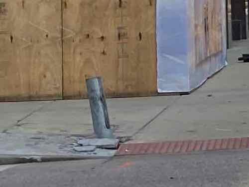
Impossible to press the “beg buttons” at Hanley & Dale in Richmond Heights from a wheelchair. You can see the grass is worn where people have stepped over the curb to press them. #ADAfail pic.twitter.com/SOiQNXzDGC
— UrbanReview ST LOUIS (@urbanreviewstl) June 3, 2020
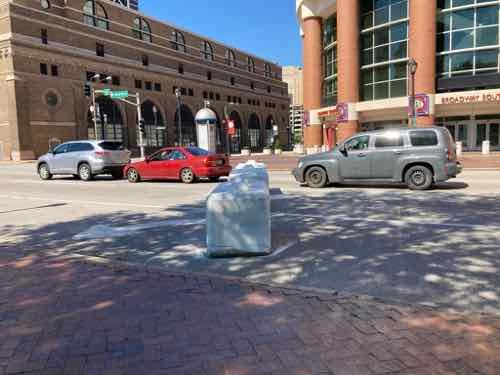
St. Louis County Moved Mandatory Beg Button After I Complained About Not Being Able To Reach It
|
|
Buttons used to activate pedestrian signals are derisively called “beg buttons.”
These buttons have long been decried and criticized by advocates for walking, anyway. The buttons’ purpose is less to keep people safe than to reinforce the primacy of cars on the street by forcing people who want to cross a street to “beg” for a walk signal. (California Streetsblog)
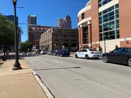
In the City of St. Louis many buttons don’t do anything, a walk signal is displayed even if you don’t press it. In June I encountered an intersection in St. Louis County where it was mandatory to press a button to get a walk signal across one street, but not the perpendicular street from the same corner.
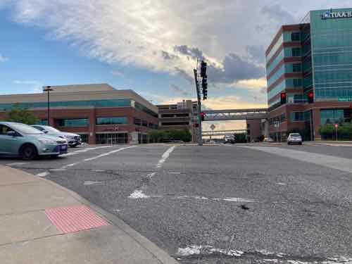
Crossing Dale Ave doesn’t require pressing the beg button, it activates the walk signal in conjunction with the traffic lights. However, if you don’t press the button you’ll never get a walk signal to cross Hanley. Even when Dale traffic gets a green light you’ve got a don’t walk unless you pressed the beg button. Without a walk signal westbound Dale motorists turning left onto southbound Hanley wouldn’t expect to see any pedestrians crossing the street. On June 3rd I had to cross, in my power wheelchair, even though I didn’t have a walk signal.
Thankfully left-turning motorists yielded to me. I later shared my frustration on Facebook, Instagram, and Twitter.
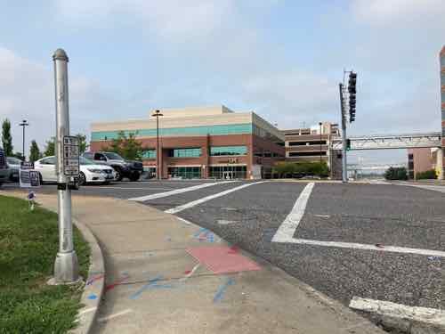
A friend & reader suggested I call St. Louis County. Though this is in the municipality of Richmond Heights, Hanley is maintained by St. Louis County — a fact she knew. I’m not a fan of making voice calls but I did find a compliant form on their Department of Transportation website. A day or 2 later I got a phone call from a county engineer. I emailed him the photos I took rather than call him back. A few weeks later I got an email saying it had been moved.
Yesterday I went out to the nearby Trader Joe’s and another store so I went to this intersection to see the change. I’d suggested the button(s) not be used, just switch to a walk signal timed with the light. So I figured the beg button would still be mandatory, I just wanted to see if I could reach it.
No telling how many years this was like this. It amazes me how often I see situations where someone wasn’t thinking about disabled pedestrians. There are likely many more examples out there.
— Steve Patterson