Home » Real Estate » Recent Articles:

Potential Development Sites Along Proposed Streetcar Line, Part 8: Central Business District

This post is the final in a series looking at potential development sites along the proposed initial route of the St. Louis Streetcar.  Previously I reviewed:

  1. Olive 15th-16th
  2. Olive 16th-18th
  3. 14th & Olive To North Florissant & St. Louis Ave.
  4. Olive 18th to Jefferson
  5. Jefferson to Compton
  6. Compton to Vandeventer
  7. Vandeventer to Taylor & Children’s Pl

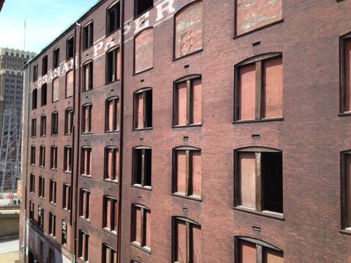
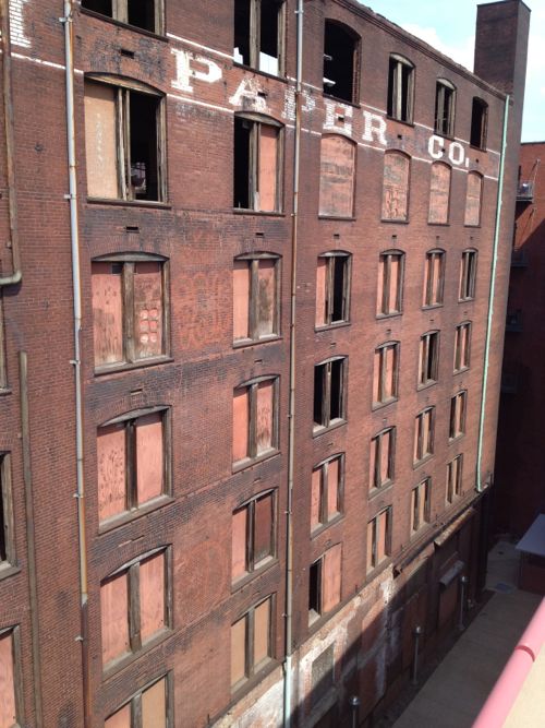
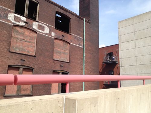
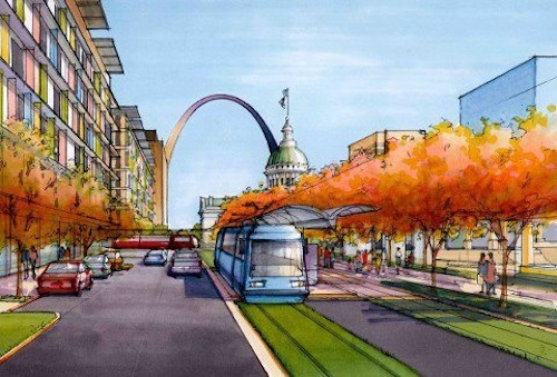
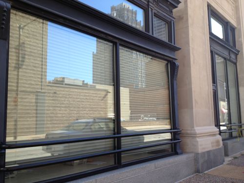
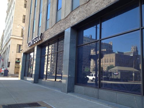
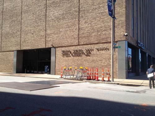
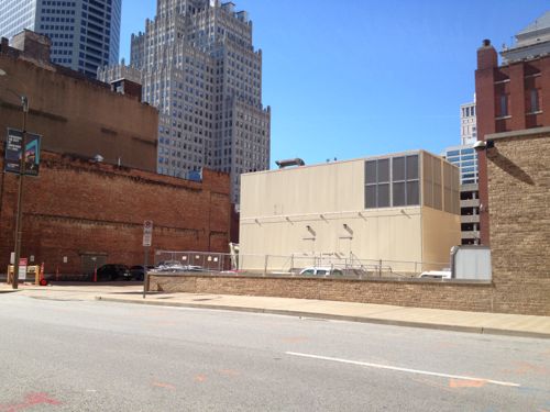
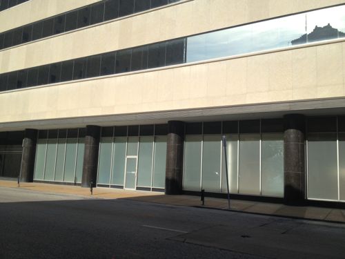
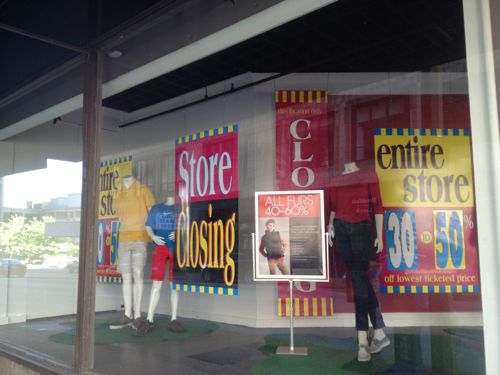
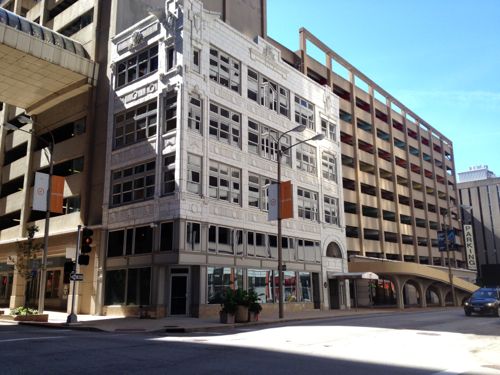
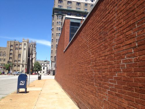
I saved the downtown CBD (Central Business District) for last. You may think downtown is done but I found lots of opportunities for additional development.

ABOVE: Artist rendering of streetcar in downtown St. Louis
ABOVE: Artist rendering of streetcar in downtown St. Louis at Chestnut St/Kiener Plaza
The downtown section of the route has one-way single tracks, with opposite directions a block apart. This is different than the rest of the route and due to the narrow street widths in the CBD.
The downtown section of the route (yellow) has one-way single tracks, with opposite directions a block apart. This is different than the rest of the route and due to the narrow street widths in the CBD. Existing MetroLink light rail subway is shown in red.

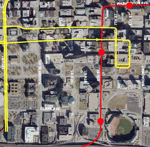
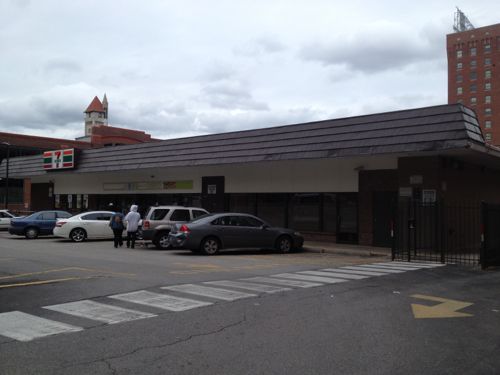
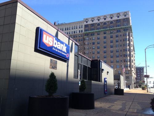
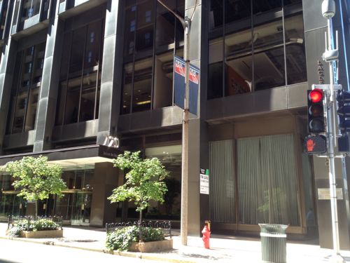
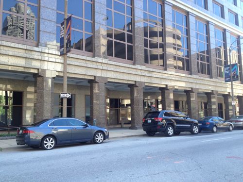
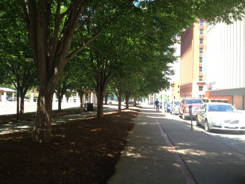
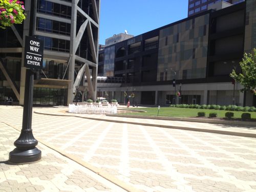
Coming east into downtown from the west the lines will be in the center of Olive Street. East of 14th the line goes to a single eastbound track to 6th Street, turning right (south) onto 6th, right (west) onto Chestnut St/Kiener Plaza, right (north) onto 7th, left (West) onto Locust to 14th. There are many areas not directly served by this compact loop, but it gets riders within 2-3 blocks of many places of employment/interest.

Ok, let’s start at 14th and Olive and do the loop and end up on the other side of the library at 14th & Locust.

Library Park bounded by Olive, 13th, Pine, &  14th will stay a park. Will be welcomed open space as the corridor gets greater density.
Library Park bounded by Olive, 13th, Pine, & 14th will stay a park. Will be welcomed open space as the corridor gets greater density. To the east is the Park Pacific, a mixed-use redevelopment of the former Missouri Pacific Railroad headquarters.
The north side of Olive between Tucker (12th) and 13th is a disaster area, perfect for infill development. This is three different parking lots with three different owners, one is Christ Church Cathedral.
The north side of Olive between Tucker (12th) and 13th is a disaster area, perfect for infill development. This is three different parking lots with three different owners, one is Christ Church Cathedral, shown at right.
The US Bank site will hopefully get redeveloped, getting a new building(s) like it once had.
The US Bank site will hopefully get redeveloped, getting a new building(s) like it once had. This 1-story branch was built in 1985. The Jefferson Arms in the background will be addressed further down when we get to Locust & Tucker. Click image to view a 1958 aerial.
In February 1909 this block was very dense. Soon after the one open corner got a very large building. Most remained as late as 1971.
In February 1909 city block 515 was very dense, soon after the one open corner got a very large building. Most remained as late as 1971. Click image to view original on the UM Digital Library.
Looking back west across Tucker. Infilling the bank site with a building about the height of the Jefferson Arms would be ideal.
Looking back west across Tucker. Infilling the bank site with a building about the height of the Jefferson Arms would be ideal. At least as tall as Christ Church Cathedral.
Looking back at the Park Pacific. This new garage isn't going anywhere for decades but all the retail spaces should get leased.
Looking back at the Park Pacific. This new garage isn’t going anywhere for decades but all the retail spaces should get leased.
Between 1965-1999 the former St. Louis Post-Dispatch building was covered in a steel curtain wall system. Click image to view the nomination to the National Register of Historic Places.
Between 1965-1999 the former St. Louis Post-Dispatch building was covered in a steel curtain wall system. Click image to view the nomination of this 1916 building to the National Register of Historic Places. It should be easier to lease once the streetcar route is just outside.
I'd like to see a more interesting use of the ground floor spaces, currently the St. Louis Board of Election Commissioners is behind these blinds.
I’d like to see a more interesting use of the ground floor spaces, currently the St. Louis Board of Election Commissioners is behind these blinds facing Olive.
Between Olive and the new SLU Law School is 210 N Tucker, now a date center. But I have hope for the ground floor...
Between Olive and the new SLU Law School is 210 N Tucker, now a date center. But I have hope for the ground floor…
The Wheeler Post Office, entered off Olive, recently remodeled. It no longer occupies the front section of the building. This leaves room for small retailer(s), assuming it isn't filled with racks of servers.
The Wheeler Post Office, entered off Olive, recently remodeled. It no longer occupies the front section of the building. This leaves room for small retailer(s), assuming it isn’t filled with racks of servers.
The Olive side and rear of the building has been unfortunate since built in 1969, new backup generators make it worse. Creative paint perhaps?
1111 Olive was built in 1942 as an annex to the Post-Dispatch, KSDK TV had early studios here. This is also now a data center.
1111 Olive was built in 1942 as an annex to the Post-Dispatch, KSDK TV had early studios here. This is also now a data center. Hopefully this ground floor retail space is still vacant so it can be reactivated.
The western portion of the ground floor is open air, not sure if it always has been this way. Perfect for cafe seating protected from sun/rain.
Four buildings remain on the south side of the 11xx block of Olive
Four buildings remain on the south side of the 11xx block of Olive. The 2 buildings on the right, both from 1886, used to have 5 floors. The narrow building to the left is from 1896 and the far left from 1912.
The remainder of the block, except a building facing Pine, is surface parking lots ready for new construction.
The building on the left, 1107 Olive, was threatened with demolition for parking last year but it was denied. It'll get renovated but the big store is the corner at 11th.
The building on the left, 1107 Olive, was threatened with demolition for parking last year but it was denied. It’ll get renovated but the big store is the corner at 11th.
This corner has underground parking for Louderman Lofts building

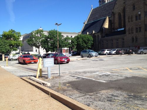
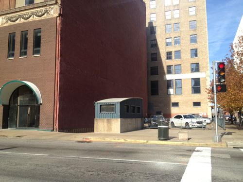
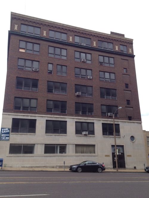
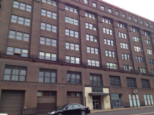
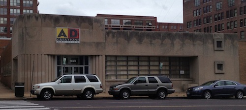
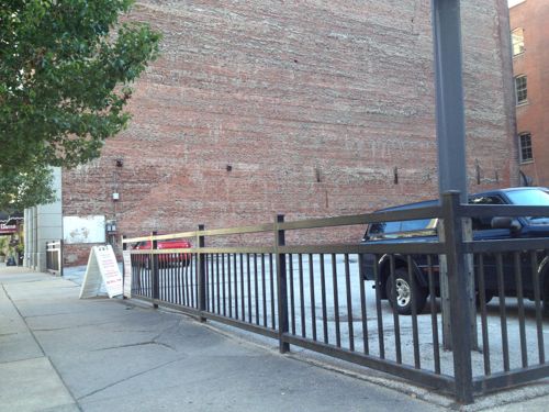
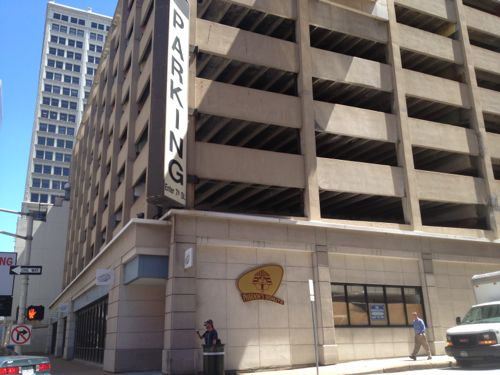
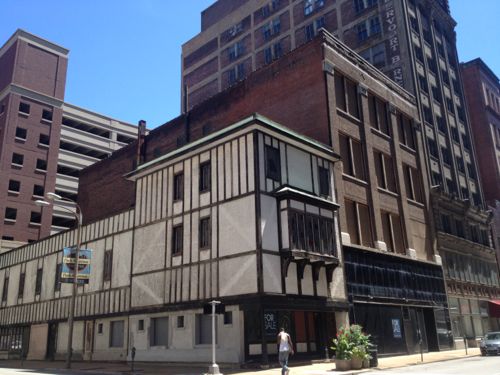
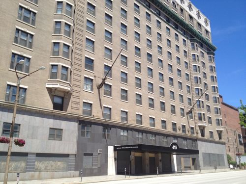
Let me stop the flow of images briefly to talk more about this corner. Looks final, right? Drive to underground garage, stairs up to grade? Parking for commercial tenants and even a couple of lofts? You’re thinking there is no way this going to ever change. Seeing how it was built made me inquire with Louderman developer & resident Craig Heller of Loftworks, here’s his response:

Our plan has always been to build on that lot – parking for Louderman has been built under the lot. When it was built we sank piers to bedrock so that we build a new structure on top.

I had spotted the top of the piers. Folks, this is how you plan ahead! This was done 8-10 years ago and it may well be another 8-10 years before Heller can build on the corner. But when market conditions are right he’ll be able to see a handsome return on the cost of those piers. In the meantime, this would be a good corner for a food cart vendor with a few tables, chairs, umbrellas, etc. Ok, back to the streetcar route…

Diagonally across the intersection is two surface lots, one owned by the Omni Hotel on Pine. These will take longer to get developed.
The buildings on the north side of the 10xx block of Olive are all handsome. Bussone's owns their building, perhaps downtown's oldest bar will get a new storefront?
The buildings on the north side of the 10xx block of Olive are all handsome. Bussone’s owns their building, perhaps downtown’s oldest bar will get a new storefront?
Craig Heller's Loftworks also owns the small parking lot at 10th & Olive.
Craig Heller’s Loftworks also owns the small parking lot at 10th & Olive.
This lot is in poor condition, with nothing but dirt underneath. I see this getting infill as well.
This lot is in poor condition, with nothing but dirt underneath the asphault I see this getting infill sooner rather than later.
At 8th & Olive we have the vacant Arcade-Wright building. Click image to read about the development plan
At 8th & Olive we have the vacant Arcade-Wright building. Click image to read about the development plan. The streetcar will make the retail spaces in the historic arcade more viable.
Diagonally across the intersection is the Chemical Building . Click the image to read about development plans  for this building. Retail will be more viable once the streetcar line opens.
Diagonally across the intersection is the Chemical Building . Click the image to read about development plans for this building. Retail will be more viable once the streetcar line opens.
The Laclede Gas Building on the SE corner of 8th & Olive should benefit from the  streetcar line.
The Laclede Gas Building on the SE corner of 8th & Olive should benefit from the streetcar line.
The fur & leather store that operated in the corner spot closed recently, a good spot if a direct exterior entrance is added.
The fur & leather store that operated in the corner spot closed recently, a good spot if a direct exterior entrance is added. Fall 2012 photo.
Until recently the top floor had the Point of View restaurant and the bar's law center.
Until recently the top floor had the Point of View restaurant and the bar’s law center. The St. Louis Bar Association moved to 6th & Washington Ave. Laclede Gas has also discussed relocating.
An 8th & Pine MetroLink light rail station is located on the corner of the Laclede Gas Building.
Macy's, formerly Famous-Barr, is closing at the end of the month.
Macy’s, formerly Famous-Barr, is closing at the end of the month.
The Railway Exchange Building, where Macy's is now on the lower 3 levels, has some very exciting things happening now, tomorrow I'll share what's going on in the former May Company offices.
The Railway Exchange Building, with Macy’s on the lower 3 levels until next month, has some very exciting things happening on upper floors. Tomorrow I’ll share what’s going on in the former May Company offices.
The 6xx block of Olive used to have more terra cotta buildings but only one was spared from demolition.The streetcar will run eastbound on Olive (left) and northbound on 7th (right).
The 6xx block of Olive used to have more terra cotta buildings but only one was spared from demolition. The streetcar will run eastbound on Olive (left) and northbound on 7th (right). This garage should be razed.
The corner of this block is a surface parking lot at 6th, the streetcar will turn onto 6th from Olive .
The Met Square building, built in 1988, is glossy and internally focused. Hopefully it can be softened up a bit at the street-level.
The Met Square building, built in 1988, is too glossy and internally focused. Hopefully it can be softened up a bit at the street-level.
Besides the sliver of the white terra cotta building, this is the only remaining non-parking building on the block.
Besides the sliver of the white terra cotta building, 207 N. 6th is the only remaining non-parking building on the block.
The two Kiener Plaza garages are awful. They should both be razed, replacing one with s garage using modern technology to fit more cars in s tight space. Click image to watch video of high tech parking.
The two Kiener Plaza parking garages are awful/uninviting structures
Looking north up 6th from Chestnut we see both Kiener garages, built in 1966. Both should be razzed, replacing one with a compact automatic parking garage, click image to watch a demo video of this technology.
The streetcar would have a track in Chestnut plus a track in Kiener Plaza as a  layover point
The streetcar would have a track in Chestnut plus a track in Kiener Plaza as a layover point
I don't like the 1981 addition to Sullivan's Wainwright building. Click image to read s 1981 review in the NY Times.
I don’t like the 1981 addition to Sullivan’s Wainwright building, it is in poor condition and doesn’t relate to the street. This is a Missouri state office building.
Click image to read a 1981 review in the NY Times.
And we're back to the block that's almost entirely a 1962 parking garage in poor condition. The block will have streetcar line on 3 sides.
And we’re back to the block that’s almost entirely a 1962 parking garage in poor condition. The block will have streetcar line on 3 sides. The Railway Exchange can be seen in the background.
The surface parking lot on the SW corner of 7th & Locust is the only hole in that city block, it should be filled.
The surface parking lot on the SW corner of 7th & Locust is the only hole in that city block, it should be filled with new construction.
A few years ago the owner of the US Bank tower considered building a parking garage to replace this useless plaza. Hopefully an occupied building will replace the plaza. The Ambassador Theater was razed in 1996 for the plaza, click for info.
Once taller, shortened many years ago, vacant since 2009.
The first two buildings remain threatened with demolition. I'm not attached to them, I just want buildings not a circle driveway.
The first two buildings on Locust east of 10th remain threatened with demolition. I’m not attached to them, I just want buildings not a circle driveway.
Much of city block 823 bounded by 11th, Locust, Tucker, & St. Charles, is surface parking. Miss Hullings Cafeteria was located here for decades, click for more info.
The 1960 building on the NE corner of Tucker & Locust needs to be replaced with a larger structure.
On the west side of Tucker is  the vacant Jefferson Arms. Hopefully developers will be able to find the right formula to make the numbers work.
On the west side of Tucker is the vacant Jefferson Arms. Hopefully developers will be able to find the right formula to make the numbers work.

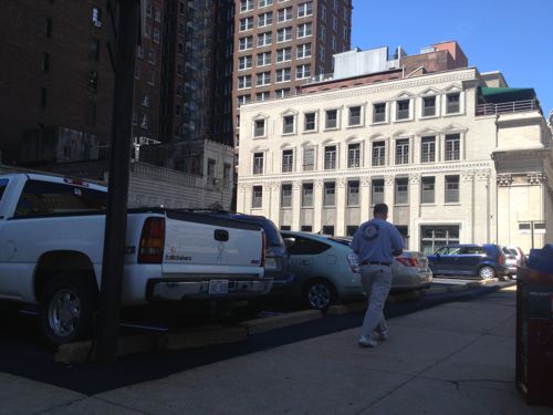
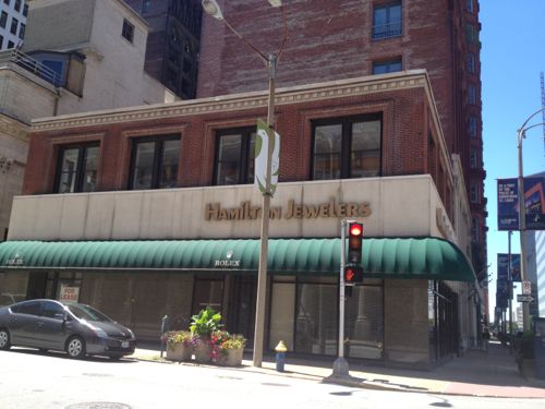
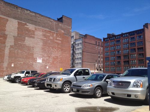
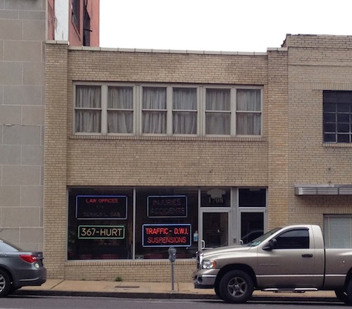
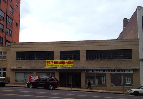
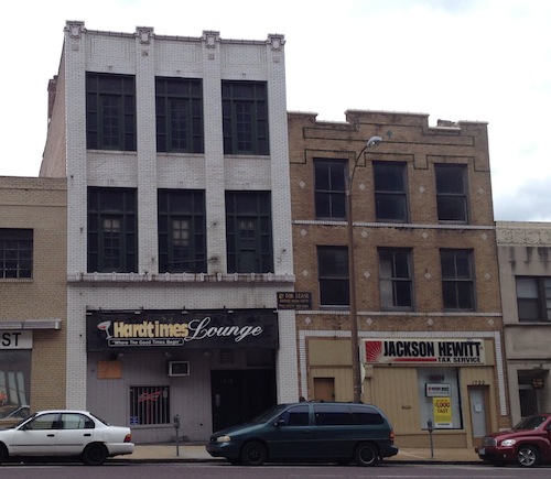
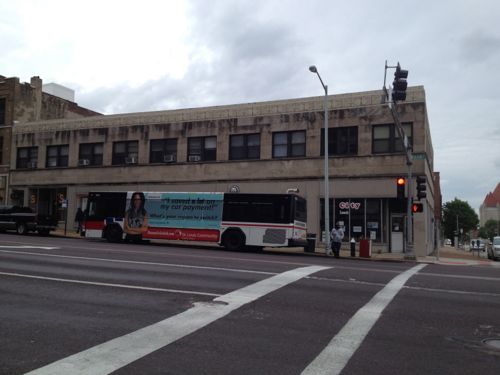
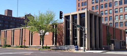
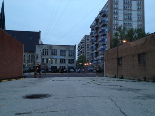
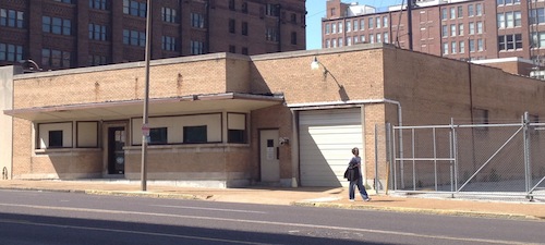
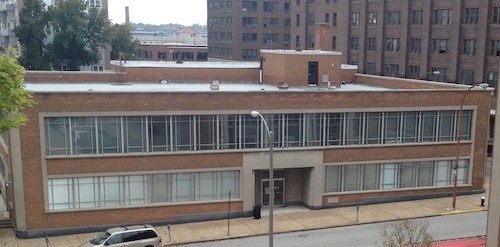
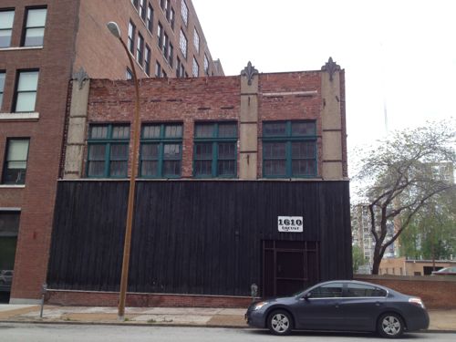
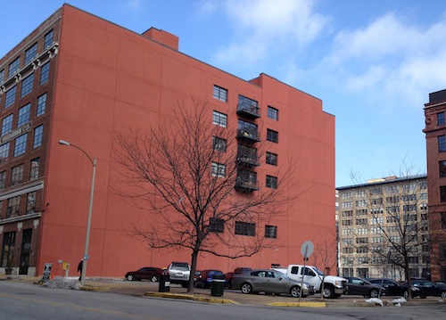
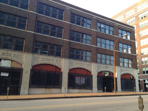
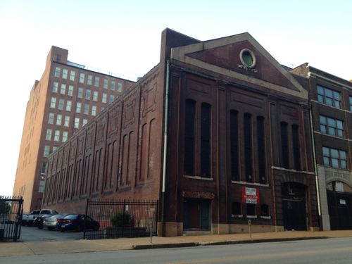
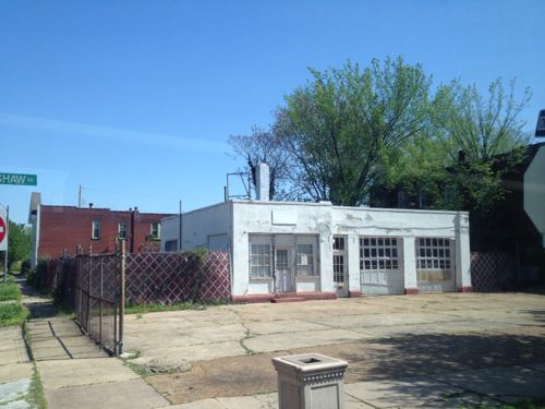
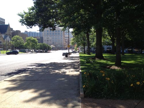
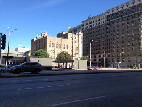
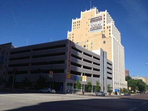
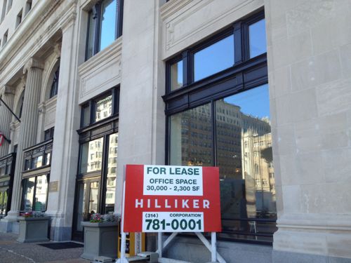
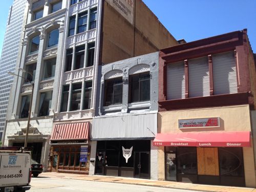
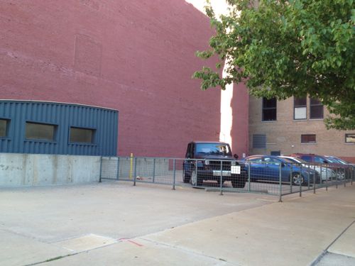
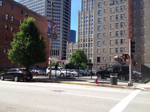
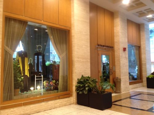
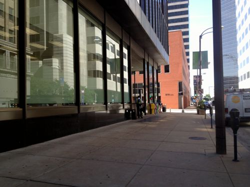
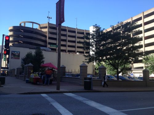
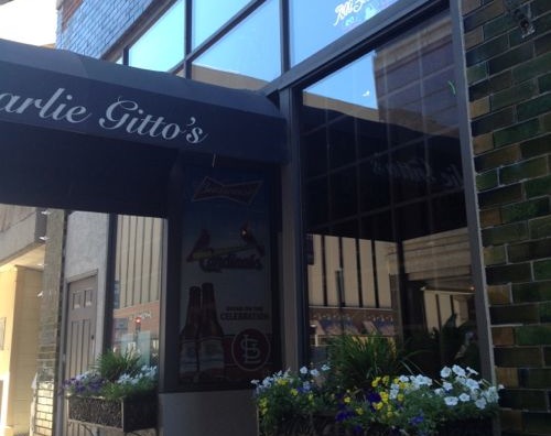
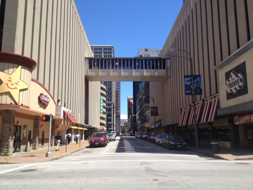
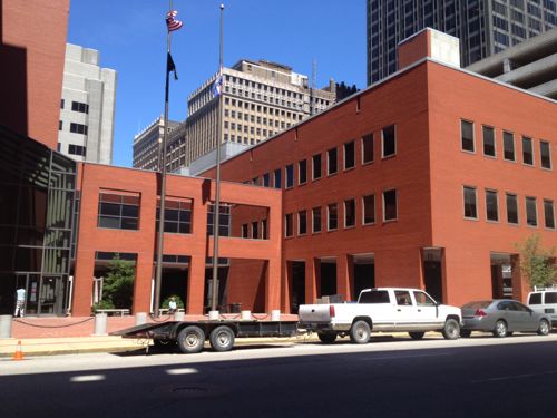
As you can see there are many opportunities along this route to re-urbanize and densify. Many more opportunities exist 1-4 blocks away from the route.

Here are two sentiments I’ve heard from readers recently:

  • “The streetcar should go down Washington Ave.”
  • “It would be nice if the activity on Washington Ave. would expand to other streets.”

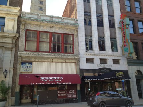
If we’d put all our eggs into the Washington Ave basket we’d still wish years later the activity would reach other streets. By running the streetcar one and two blocks south of Washington Ave we’ll be expanding the activity while making it easier to get people to their Washington Ave places, like Mosaic.

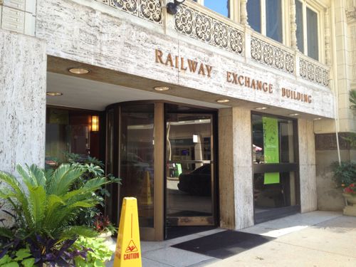
Tomorrow we look at the entrepreneurial activity taking place on the 12th & 13th floors of the Railway Exchange building.

— Steve Patterson


Plantings Along Tucker Add Interest

The project to replace the old Tucker Blvd, filling in the long-abandoned passenger rail tunnel, is nearing completion. Motorists and pedestrians can now travel between Washington Ave and Cass Ave., approximately 3/4 of a mile (map).  Tuesday night the boyfriend and I went for a walk up to Cass and back (I rolled, he walked).

I’d been up/down the new Tucker a few times before but this time I paid attention to the plantings located in bulb-outs at the ends of parking lanes, medians, tree lawn, etc.   Some of the bulb-outs are designed as a rain garden, set up to catch rainwater from the road and sidewalk.

Irrigation in one of the rain gardens along North Tucker Blvd
Irrigation in one of the rain gardens along North Tucker Blvd. I suppose irrigating a rain garden makes sense to keep the plantings looking good during dry spells, and while establishing the plantings.
Very tall weeds have taken over some planting areas along Tucker.
Purple Coneflower (Echinacea) is just one of many natives planted along Tucker.
Purple Coneflower (Echinacea) is just one of many natives planted along Tucker. Other plants spotted include Yarrow, Russian Sage, and native prairie grasses.

I’m excited to see Tucker 100% complete with all the planting areas weeded. I’m also looking forward to seeing development occur along Tucker, especially at Cass.

Looking north from Cass & Tucker the approach to the new Mississippi River Bridge is nearly complete.
Looking north from Cass & Tucker the approach to the new Mississippi River Bridge is nearly complete. The bridge opens in early 2014, click photo for more information.

Since this area lacks a form-based code, or anything else requiring new construction to recognize the existence of the new public sidewalks, I’m afraid it’ll end up being geared only to motorists, ignoring pedestrians completely.   Maybe Paul McKee will do the.. right thing and develop the area with pedestrians and motorists in mind…

— Steve Patterson


Potential Development Sites Along Proposed Streetcar Line, Part 2: Olive 16th-18th

This is part 2 of a multipart series looking at potential sites for development along the proposed streetcar line that’d run along Olive/Lindell from downtown to the Central West End and the BJC hospital complex as well as north on 14th Street . In Part 1: Olive 15th-16th a week ago I looked at one city block on the north side of Olive between 15th-16th.

That block is underused surface parking, the Campbell House Museum, YMCA and 100 vacant apartments over the YMCA. Potential for both new construction and rehab. The south side of Olive is the 1950s Plaza Square high rise apartments, these will become more desirable after the streetcar line opens.

For this post I want to look at parts of five city blocks rather than just one; they’re bounded by 16th Street on the east, St. Charles St. on the north 18th on the west and Pine on the south. These blocks have a mix of buildings including rehabbed/occupied, non-rehabbed/occupied, vacant buildings, vacant land, a church, a non-public library building, etc.

I’ve organized them by City Block and listed the property addresses.

City Block 509

1700-1706 Olive was built in 1918, it is for sale
1700-1706 Olive was built in 1918, it is for sale. The facade on the base appears to have been modified later, possibly to fit in with the adjacent buildings. Click image for map.
1708 Olive, built in ???, is less than 24ft wide.
1708 Olive, built in 1951, is less than 24ft wide.
1710-1714 Olive, built in ???
1710-1714 Olive was built in 1946
1718 Olive (left) and 1720 Olive (right) are both occupied.
1718 Olive (left) and 1720 Olive (right) are both occupied. 1718 was built in 1900, 1720 in 1926.
1728 Olive was built in 1929

I like variety & scale of the buildings on this block facing Olive, but with the exception of 1700-06 Olive the density is too low to be on a streetcar line and not tall enough relative to the width of Olive. The two 3-story buildings in the middle might be able to be kept with new construction on either side. However, most of these buildings contribute to the Washington Ave national historic district so rehabilitation should be considered.

The rest of the block is surface parking for the Blu Condominium Association and a dumpy 7-11.

Even though the 7-11 faces 17th, the property address is 1701 Pine.

City Block 510

1717 Olive occupies the entire block. Originally the Butler Brothers warehouse built in 1908
1717 Olive occupies the entire block. Originally the Butler Brothers warehouse built in 1908, later renamed Plaza Square.

The building does have a few business tenants but overall it is in need of a major rehab. Because of the condition, the rents are low. Care should be taken to not price businesses out of the building/neighborhood. On the other hand, those of us living nearby would appreciate it if it was maintained to a higher standard.

This building has potential to house offices and residential.

City Block 511

1601 Olive
1601 Olive is a 2-story office building built in 1965, it is vacant and for sale. I’d rather see a larger structure on this corner.
1613 Olive is a vacant lot owned by the city, used for parking.
1613 Olive is a vacant lot owned by the city, used for parking for the building to the west.
1621 Olive is owned by the city, used for parking enforcement offices right now
1625 Olive is privately owned and is occupied.  Built in 1948, it has an interesting facade. Retain the facade but build up?
1625 Olive is privately owned and is occupied. Built in 1948, it has an interesting facade. Retain the facade but build up?
1624 Locust is part of the St. Louis Library system
The 2-story building at 1610 Locust was built in 1917, next door is The Leather Trades Artist Lofts.

With the exception of the Leather Trades Artist Lofts, the block to very low in height and density. Although I don’t like the building heights, I do like the facades. Those facing Olive should probably be razed for taller structures.

City Block 828

1601 Locust is a privately-owned surface parking lot next to Printers Lofts (1611 Locust). Loftworks had planned new construction to attach to Printers.
1601 Locust is a privately-owned surface public parking lot next to Printers Lofts (1611 Locust). Loftworks had planned new construction to attach to Printers. A great site for new construction.

Although I live in the Printers Lofts building, shown above, I don’t know the legality of building on the lot with respect to the four condos and our common space that face east. Presumably this is addressed in our condo documents and in the recorded information on the vacant lot. I’d love to see new construction on this corner, though my neighbors might object. The beautiful Blackwell-Wielandy building occupied the corner until it burned down in 1988.

City Block 829

1701 Locust is a handsome 4-story building built in 1926. It has had several owners in the last decade. It is vacant.
1711 Locust was a power station for the original streetcar system, it is vacant and in disrepair.
1711 Locust was built in 1903 as a power substation for a private streetcar company, it is vacant and in disrepair. It was #5 on the Landmark’s 2010 Most Endangered List, click to view

Both of these buildings are among my favorites. The substation is a creative challenge, but I’m sure someone could come up with a creative use for the space.

Closing thoughts…

Just in this small area there is room for lots of potential development over the next 10-20 years. In this type of exercise you look long-term at what the potential is for the coming decades. Some development will open before the streetcar line does, but most will come after that time. Developers will be eyeing the locations I’m highlighting in this series.

— Steve Patterson


Vacant Service Station on Shaw Has Great Potential

About 25-30 years about ago the now-defunct magazine Metropolitan Home had an article on an old service station being converted into a private residence, if I recall it was a contest winner located in Dallas. Since then I’ve been hooked on the reuse of these structures.

In February I posted about a formerly dumpy service station on Tower Grove that is now a trendy restaurant. Recently I passed by another vacant service station just perfect for a similar transformation. I’d passed by this same location many times before without noticing anything other than its sad condition. This time I envisioned another restaurant with a patio out front.

The former service station at 4175 Shaw Blvd is located just a block from the Missouri Botanical Gardens, click image for map.

Some of you might say no market exists for food establishments in the area but no doubt that was said before Olio, Shasha’s on Shaw, and Mama Josephine’s opened.

I’d love to see this building get a new life as a restaurant, coffeehouse, or perhaps a plant nursery/cafe.  I don’t know the owner’s intentions, or the potential environmental issues, but I know from a purely design perspective the potential is high.

— Steve Patterson


Saving Cupples 7: The Importance of Urban Context

The Cupples Station complex is historic:

Name: Cupples Station Complex

Address: 7th to llth, Clark Avenue to Poplar Street

Architectural Firm/Architect: Eames and Young

Alterations: Several of the original buildings were razed for construction of Busch Stadium and Highway 40.

Designation: City Landmark, National Register of Historic Places,

History:

After the completion of Eads Bridge and the tunnel which connected the bridge with the Union Depot railway yards, Samuel Cupples and Robert S. Brookings saw an opportunity to locate warehouses with ready rail access to the yards. Their new warehousing idea saved considerable time in freight handling and was enthusiastically adopted by the local shipping interests. The resulting large group of multi-story buildings transformed a previously useless part of the city into a highly productive area. Since all of the warehouses were not accessible by rail, they were connected by a system of tunnels and bridges. A system of hydraulic elevators was provided for vertical access. The buildings were massively constructed and made as fire resistant as was possible.

Cupples Station played a major role in maintaining the preeminence of St. Louis as a railroad center in the first half of the twentieth century.

Architecturally, the Cupples Station buildings are of national importance. Although treated in the Richardsonian Romanesque style, the buildings are strikingly modern in feeling. Rounded brick cornices and soaring arches are common features of all of the buildings and serve to unify them. Each building, however, is different from the others in detail. Originally, there were 20 buildings in the complex. (source)

More important than being historic, the remaining buildings have a nice urban feel to them.

South wall of the Cupples 7 warehouse
Another view of the south wall
Residents sit on their balcony in the loft building to the east (right)
The narrow walkway between the buildings is now closed.

From my post Thoughts on Cupples #7 from December 2011:

In 2000 when Bank of America owned several of the Cupples buildings a tank collapsed causing a hole in the roof of #7. The hole was known five years later when McGowan & Walsh bought three of the warehouses, including #7. They attempted to tarp over the roof, right?

Wrong, they did nothing! Water poured in a small hole in the roof for five years prior to their ownership causing structural damage to get to the point where it is today — which is mostly in the basement. They’ve been irresponsible owners for years and now they are maneuvering to blame the city if this historic structure collapses.

The city certainly has failed, I’ve had to resolve issues like peeling paint or end up in court! Where has the city been? They condemned the structure in 2008 and that then did…nothing. Everyone has been covering their own ass, but nobody has been trying to stabilize the building.

If this building collapses or is razed it will be a huge loss to the area. Walking east on Spruce St it helps from the street when you cross 11th Street (map)

— Steve Patterson


Advertisement


[custom-facebook-feed]

Archives

Categories

Advertisement


Subscribe