Home » Parks » Recent Articles:

Salazar & LaHood Show Support For City+Arch+River Project
December 18, 2010 Downtown, Metro East, Parks, Planning & Design Comments Off on Salazar & LaHood Show Support For City+Arch+River Project
img_2112
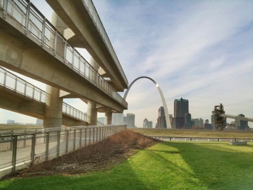
ABOVE: View of the St. Louis skyline as seen from the Malcolm W. Martin Memorial Park in East St. Louis IL., with the lookout tower in the foreground.

Last week I attended a press event held at the Malcolm W. Martin Memorial Park in East St. Louis IL.

The event featured some big names showing support for the City+Arch+River project.  Representing the Obama administration was Ken Salazar, Secretary of the Interior; and Ray LaHood, Secretary of Transportation.  Missouri’s Senator Claire McCaskill was also there , the one that got two cabinet members here at the same time. Additional speakers included East St. Louis Mayor Alvin Parks and St. Louis Mayor Francis Slay.

This video is long — 24 minutes.

httpv://www.youtube.com/watch?v=j0ZJ48du9jQ

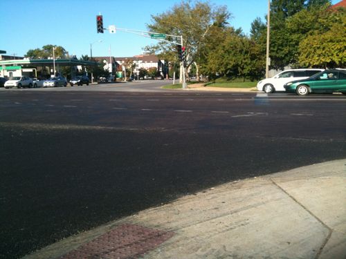
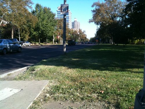
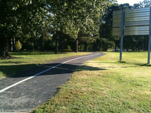
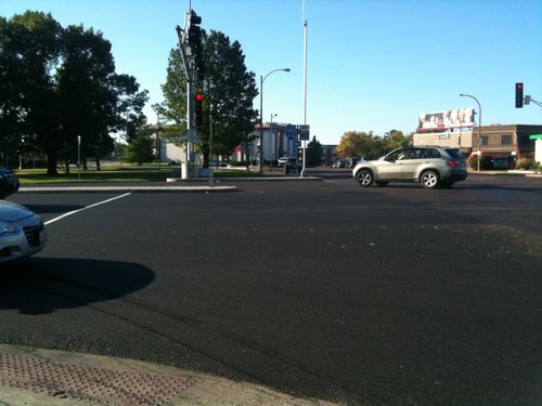
I look forward to being able to reach this park without being a pedestrian in the road.

– Steve Patterson
 

Gateway Arch Topped Out Forty-Five Years Ago Today

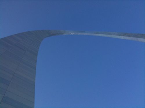
img_1031Forty-five years ago Saarinen’s Arch was completed:

“During a nation-wide competition in 1947-48, architect Eero Saarinen’s inspired design for a 630-foot stainless steel arch was chosen as a perfect monument to the spirit of the western pioneers. Construction of the Arch began in 1963, and was completed on October 28, 1965, for a total cost of less than $15 million. The Arch has foundations sunk 60 feet into the ground, and is built to withstand earthquakes and high winds; it sways up to 1 inch in a 20 mph wind, and is built to sway up to 18 inches. A Grand Staircase leads from the St. Louis levee up to the base of the Gateway Arch.” (NPS)

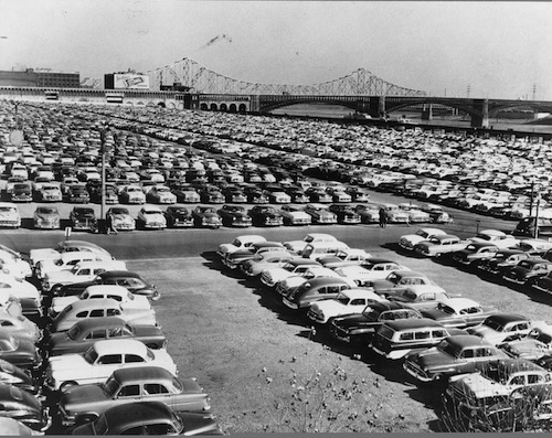
It would be a number of years before the landscaping around the Arch would be completed but for decades the site looked like this:

cars-on-jnem
Image courtesy of JNEM/NPS

Of course before it was a parking lot it was 40 city blocks of the original St. Louis.

Five years from today we will celebrate the 50th anniversary of the Arch.  Civic leaders hope to show off revised access to the Jefferson National Expansion Memorial, I hope they succeed.

– Steve Patterson


Readers Not Positive About Proposed Solutions For Connecting The City To The Arch

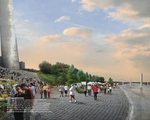
mvvawaterfront

Last week readers voted on their thoughts on the winning proposal in the City+Arch+River competition. While the top individual answer shows support (with changes) the overall sentiment is negative:

Q: Now that you’ve had a chance to review the MVVA proposal (for City+Arch+River), what do you think?

  1. With a few changes it will work 41 [29.5%]
  2. Few elements aren’t bad but otherwise not impressed 39 [28.06%]
  3. Very disappointed, my least favorite 24 [17.27%]
  4. Doesn’t matter, very little will get built. 18 [12.95%]
  5. Very excited, best of the five finalists 7 [5.04%]
  6. Other answer… 4 [2.88%]
  7. Don’t like or dislike it 3 [2.16%]
  8. Unsure/no opinion 3 [2.16%]

The other responses were:

  1. the arch is decaying, fix that first!
  2. Will this really make the riverfront more vibrant and connected to the city?
  3. Disappointed, this is the doable design, not the inspired vision design.
  4. The only do-able option

Hopefully in five years we will be impressed by the final outcome.  Here is the MVVA video:

httpv://www.youtube.com/watch?v=ArNdigN48Kg

– Steve Patterson


Reaching Forest Park A Challenge For Pedestrians Near SW Corner

claytonskinkeraerial
ABOVE: Forest Park (upper right) is walking distance to many. The center is Clayton & Skinker. Image: Google Maps (click to view)

Forest Park is a major regional asset, larger than New York’s Central Park. Many people live within walking distance of the park but reaching the park isn’t an easy task.  This post is about trying to safely reach Forest Park via Skinker & Clayton Ave.

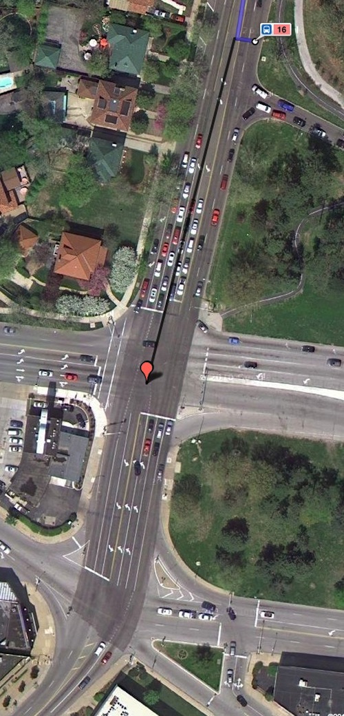
claytonskinker
ABOVE: Aerial of Clayton & Skinker (vertical) showing no crosswalks across either road into Forest Park, hard to reach bus stop.

If you look the image above, with the top intersection being Clayton & Skinker, you can see crosswalks don’t cross either into Forest Park.

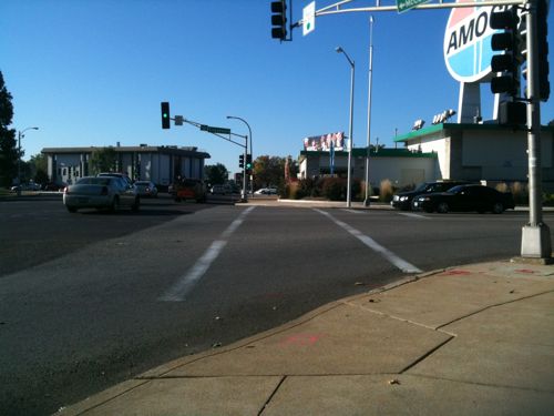
img_0449
ABOVE: No crosswalk or pedestrian signal looking east across Skinker from the NW corner at Clayton
img_0448
ABOVe: From the same corner looking south, a crosswalk & pedestrian signal are provided
img_0452
ABOVE: looking west from the SW corner of Forest Park
img_0453
ABOVE: rotating to the right (north) you see there is no sidewalk along Skinker to reach the bus stopÂ

img_0450
ABOVE: Once on the corner of Forest Park you see the jogging trail
img_0455
ABOVE: looking south from the corner of Forest Park, no crosswalk or signal

ABOVE: looking north toward Forest Park new concrete where a crosswalk should be

Pedestrians (able-bodied & disabled) need to reach Forest Park.

– Steve Patterson


Weekend Events For The St. Louis Urbanist

ABOVE: Open Streets #1 on May 1, 2010

This weekend brings some interesting events, good excuses to explore areas you may not know as well as others.

Great Forest Park Balloon Race

“The 2010 Great Forest Park Balloon Race is scheduled for Saturday, September 18, 2010 and will take place on Central Field in Forest Park, near the Jewel Box. The Balloon Glow will take place on Friday, September 17, 2010 also on Central Field. A detailed event schedule for the 2010 race is available here.”

Open Streets #3

Open Streets combines elements of your neighborhood block party, a day at the gym, and a relaxing weekend morning. It’s a chance to exercise, an opportunity to people watch, and a great time to enjoy our region’s wonderful spring and fall weather.

Sunday September 19 2010 8am-1pm, map

Have a great weekend!

– Steve Patterson


Advertisement


[custom-facebook-feed]

Archives

Categories

Advertisement


Subscribe