Jamestown Mall Site Part 2: Laying Groundwork For New Development Over The Coming 10+ Years
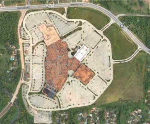
Last week I outlined the problems with the vacant Jamestown Mall, its massive 144.51 acre site, and the surroundings. See Jamestown Mall Site Part 1: Analyzing the Site, Problems, and Options. When you look at the problems the solution becomes obvious.
Problems > solutions include:
- Vacant 422,533 square feet enclosed mall > tear down mall.
- Lack of a major grocery store > include site for ALDI-sized grocery store on edge of master plan. Building should be easily connected to new sidewalk network.
- MetroBus stops along both sides of Lindbergh Blvd adjacent to the site are just shoulder on a state highway, discouraging pedestrian use. No pedestrian infrastructure or access to site > reroute MetroBus through the redesigned site and/or add pedestrian infrastructure along this stretch of Lindbergh Blvd.
- The Fox Manor subdivision is immediately south of the site, downhill. It only has one way in/out — onto Lindbergh Blvd for cars only > connect the two dead end subdivision streets to new public streets on the site.
Finding a single developer to build out the nearly 145 acre site is proving difficult. Of course, it’s massive. It’s way too much for one entity to take on. Yet most people think if one developer won’t build the mixed-use neighborhood that area residents want then one developer should be allowed to development an awful warehouse complex. Wrong!
The best places in the St. Louis region weren’t built at one moment, by one developer. No, land owners subdivided their land and created building lots, putting in streets & utilities to support those who would eventually buy a lot and build on it. This is how downtown St. Louis was developed, as well as Kirkwood MO, Florissant MO, Belleville IL. Nearly every pre-WWII downtown or commercial district developed in this manner, over time. New Town at St. Charles was planned by one developer, who also built some buildings. But not all.
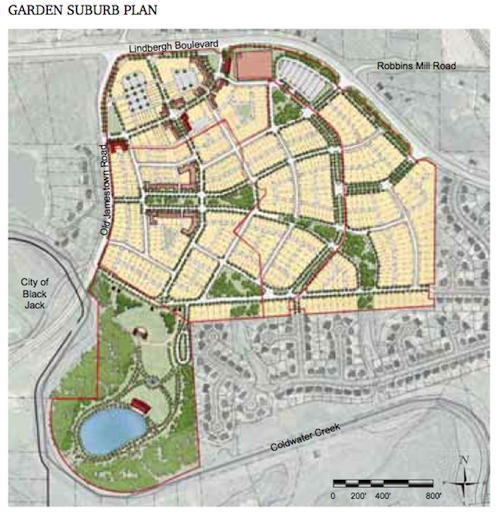
St. Louis County needs to master plan the entire site, put in connecting streets & utilities, rezone the site and adopt a form-based code to guide the build out over the next 10-15-20 years. Subdivide the land so a grocery store could own their parcel. An insurance agent might build their housing unit over their office space. A multi-family housing company might build a few buildings with apartments. A home builder might build on some single family lots.
“There is only one way to eat an elephant: a bite at a time” — Desmond Tutu
Ok. don’t eat an elephant…or even kill one. And don’t expect developers to bite off more than they can chew.
For comparison most of downtown’s central business district would fit in the same 145 acre site: From the Arch grounds to 8th, from Market to Washington Ave.
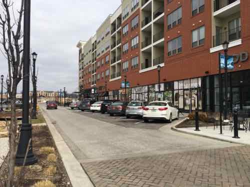
Ballpark Village is 10 acres and the Cardinals had to split that up into multiple phases because they learned they couldn’t do it all at once. The Streets of St. Charles project is a 27 acre suburban mixed-use project and it is being phased in.
Below is my crude schematic showing new streets (blue) connecting to all 7 existing site access points, including 2 dead end streets in the residential subdivision to the south. The pink is commercial and/or mixed use, the orange is residential without commercial. The green around the perimeter is a green buffer around the perimeter with a walking path, water, fruit trees, etc.
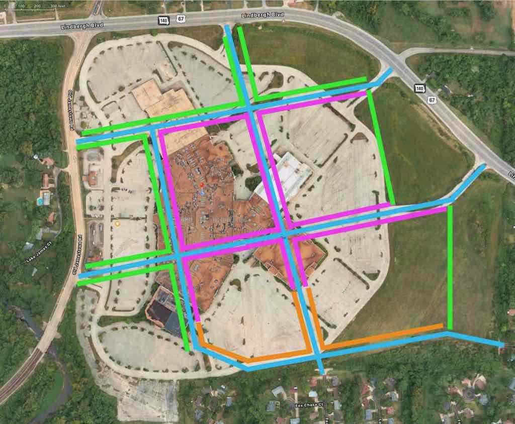
My roads shown above in blue would be initial roads. Maybe. At a minimum three of the seven site access points should be connected: one off Lindbergh Blvd, one off Old Jamestown Rd, and one of the two dead end streets in the Fox Manor subdivision. My idea the initial streets 1) have an intersection in the commercial area and 2) connect to the residential subdivision.
Eventually there would potentially be many more streets given the size of the site, but that can happen over time as demand warrants.
My main point is the St. Louis County Port Authority, as property owner, should plan it out, put in some streets and utilities and begin to sell the land lot by lot. I think most everyone would agree a well-connected mixed-use neighborhood with a grocery store is the best possible outcome. I just don’t see it happening all at once, but incrementally over time.
— Steve Patterson