Redeveloping Natural Bridge & The UMSL South MetroLink Station
Considerable attention is being given to redeveloping Natural Bridge and the UMSL South MetroLink Station.
On Friday, [UMSL Chancellor] George announced that Normandy collaborators hit their $14 million goal last week to transform a portion of Natural Bridge Road between Lucas and Hunt Road and the inner belt of I-170 into a more pedestrian-friendly street.
The plan is part of the St. Louis Great Streets Initiative, a program through the East-West Gateway Council of Governments, designed to encourage community leaders to use their streets to enhance economic development and social activities in their communities. (St. Louis American)
The initial phase would be between Florissant and Hanley. In the middle is the UMSL campus and the UMSL South MetroLink station just to the south of Natural Bridge.
CMT in partnership with Metro charged a group of local experts from the ULI St. Louis Chapter called a Technical Assistance Panel (TAP) to look at the possibilities for development at the UMSL South Station. This is the second TAP that CMT and Metro have commissioned – the first at the Belleville MetroLink Station. Thanks to the AGC St. Louis for underwriting this event.
One idea presented was the possibility of rebranding the area around the station as a retail/commercial/event space as Plank Street Station. There would be a new access road that would run from Natural Bridge to the Station. The City of Normandy is willing to move their City Hall location to another area within this possible development or a different area all together. The panel suggested that Metro’s role could include building a pedestrian bridge as well as additional parking structure on the west side of the station to feed both the system and the development. (CMT-STL)
With all this interest I needed to see the area again to be able evaluate the proposals. The easiest way would’ve been to drive down Natural Bridge, but I no longer have a car. Besides, evaluating an area for a walkable district by driving is like evaluating a restaurant’s food based on internet pictures.
So on May 10th I caught the #4 (Natural Bridge) MetroBus on 18th at Clark and got off at Lucas and Hunt (aerial). I then “walked” in my power chair west along the north side of Natural Bridge to Hanley, crossed to the south side and returned. It was a 3.4 mile “walk” per Google Maps. I added a bit more distance by dropping down to the south UMSL MetroLink Station along the way.
During my four hour trip (end to end, with lunch) I took 382 photos, I’ll share just some here.
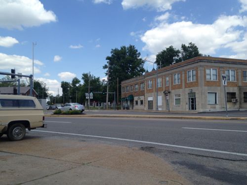
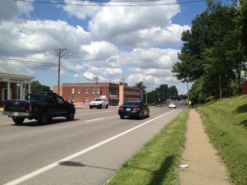
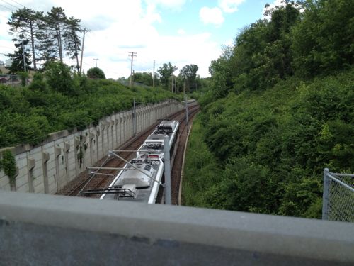
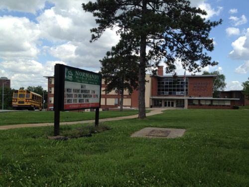
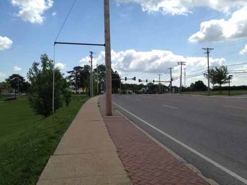
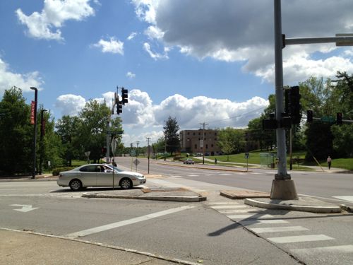
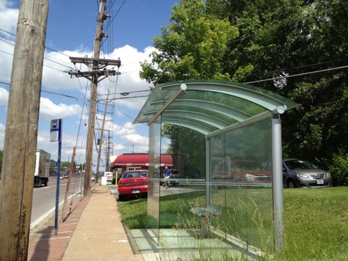
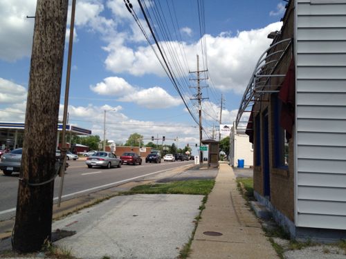
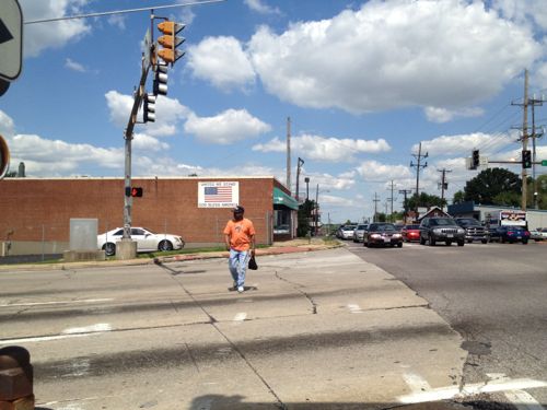
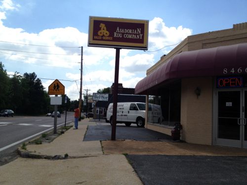
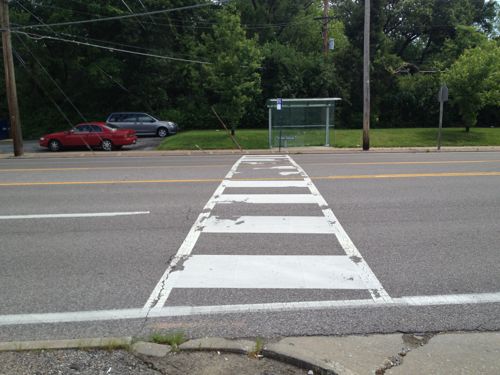
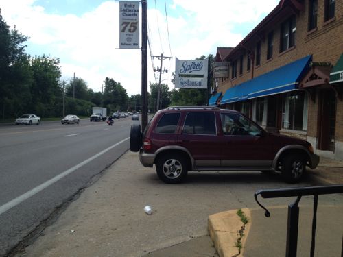
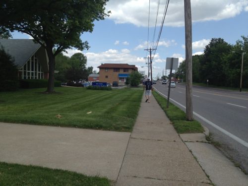
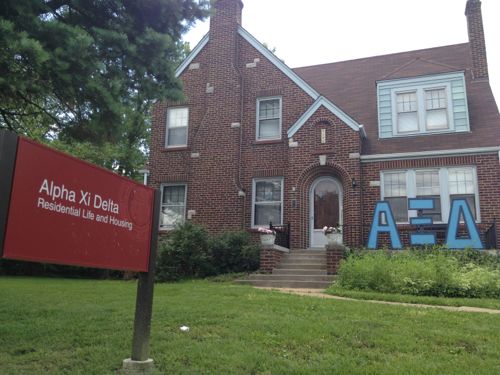
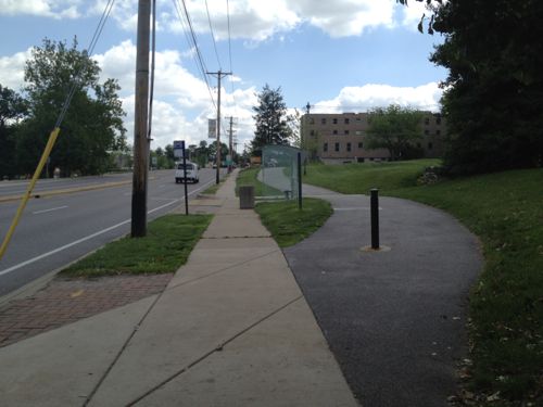
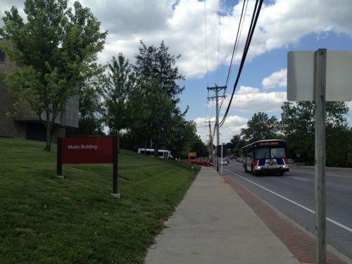
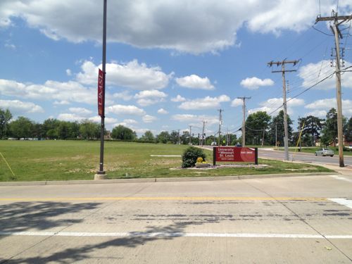
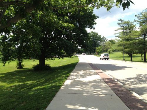
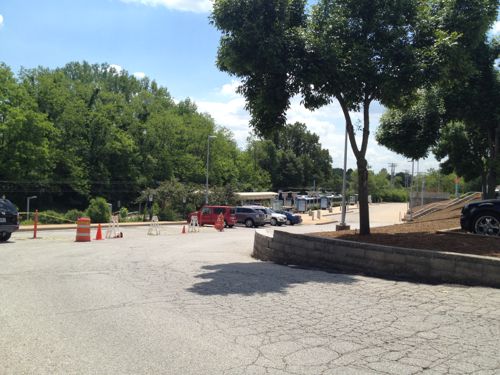
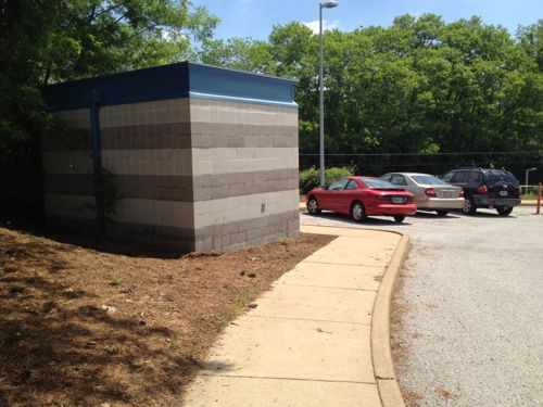
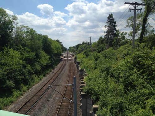
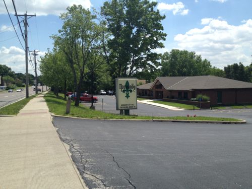
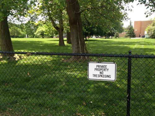
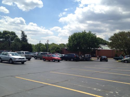
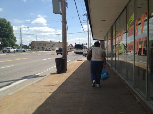
Amazingly I was able to travel more than 3 miles with only a few barriers along the way. A lack of barriers for the disabled is a good start but this is a long way from being “pedestrian-friendly” corridor. One article I read said the goal was to be more like the Delmar Loop. My guess that was more about the writer’s ignorance on the subject than a stated goal. You can make a suburban corridor attractive to pedestrians but that’s not the same as a dense commercial district.
A detailed look at Natural Bridge was done as part of the East-West Gateway’s Great Streets Initiative, see the report here. It prescribes different treatments for different areas of the corridor. The Urban Land Institute, working with Citizens for Modern Transit, took a detailed look at the existing UMSL South MetroLink station and immediate surroundings, see that report here.
I’m not yet sure the proposed ideas are the best solutions but I do know the pedestrian experience can, and should, be improved.
– Steve Patterson
I know it’s a “chicken or egg” challenge, and as one of your captions notes “Numerous lanes for autos reduces the pedestrian experience”, but out of all your photos, I can only see 3 pedestrians, versus dozens of vehicles. I’d argue that the amount of pedestrian space meets the current pedestrian usage, much like how the number of vehicle lanes matches vehicular demand. Investing in better pedestrian infrastructure will likely make it better for the few pedestrians who now use the corridor, but if you really want to attract more peds, there needs to be a significant increase in the number and the quality of comercial destinations, things like retail stores, restaurants and places of employment, in addition to UMSL. I also believe that the ULI vision (for more TOD) would help more in the long run than the Great Streets recommendations, although the Great Streets changes would also improve the experience of motorists, as well. Making a street pretty isn’t enough to attract more users, you need to have reasons to want to be there.
UMSL is the anchor and should start building new student housing on the street not in apartment enclaves like they’ve done in the past.
1. UMSL dorms on the land bordering Natural Bridge and the baseball field. think college version of ballpark village. the sudent demand is there for on campus dorms, just make them reasonably priced considering the area.
2. possible BRT route down Natural Bridge to 13th st? Seems like a good possible feeder line into a north/south future metro line
3. UMSL must stop building massive parking garages. the campus is a joke until it comes up with a centralized, layed out plan for future development. its past time for a comprehensive plan with quads, dorms, and organization that doesnt continue to affirm UMSLs place as a strict commuter school. the educational bubble is supposed to be burst in the next 5-10 years, schools like UMSL should come out as a big winners, they just need to be a position to do so.
I had a friend hit by a driver last year walking across Natural Bridge from one of the frat houses to the other. Need some signs or stoplights or something. lord knows the area is already policed to the max, if accidents are still happening this means its a systematic failure which must be corrected with good walkable development
UMSL hired Sasaki & Associates back in 1993 to develop a campus master plan which indeed called for more density and additional land acquisition. I can’t recall all the details, I used to have a copy of it somewhere. During high school when I was in the Engelmann Institute program (summer of 1996), I developed a proposal for a more urban, TOD type experience for the Florissant Road corridor where Express Scripts now sits. I believe I delivered a copy of my proposal to the Chancellor’s office, but we all know where that went. 🙁
Most residents want some form of grocery, produce opperation. How many food retailers would locate here considering that the project is to remove cars from thee roadway & replace them with more pedestrian traffic?