Examining the St. Louis MLS Stadium Site Plan, Part 2
Two weeks ago I began a critical look at the site plan for the proposed Major League Soccer (MLS) stadium with a look at the area to the south of Market Street(see Part 1). This area includes practice fields with parking below, new streets, and development sites that have been highway ramps for decades.
Today I’ll look at the area to the north of the stadium site.
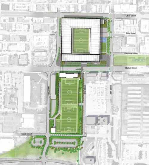
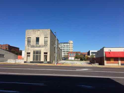
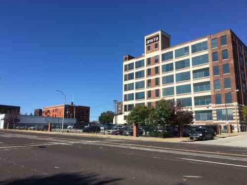
The north side of the stadium will border on Olive Street, left to right on the top of the site plan above. The blocks facing Olive and to the north are very different than the area south of Market. This area contains both rehabbed buildings, but also vacant parcels just waiting for new infill construction.
Olive Street is major east-west corridor, connecting downtown to midtown and beyond. The stadium will have a two block-long facade along Olive Street, from 20th to 22nd. So let’s begin in the middle — at 21st Street.
The site plan shows a crosswalk at 21st Street to the south, across Market Street. Given this stadium is surrounded by an urban street grid a crosswalk every block makes perfect sense. Unfortunately, the site plan doesn’t show a crosswalk at 21st Street, across Olive Street.
Will people coming to the stadium from the north go to 20th or 22nd to cross 4 travel lanes of traffic on Olive? No, they won’t. Those coming toward the stadium from the north on 21st will attempt to cross at 21st. If this intersection isn’t designed to stop traffic for pedestrians people will get hit, some killed. Why would anyone use 21st Street to head south toward the stadium?
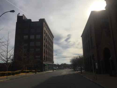

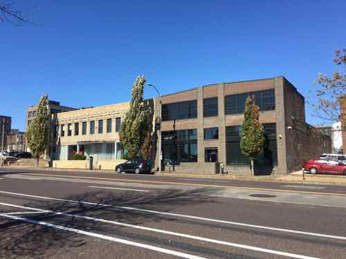
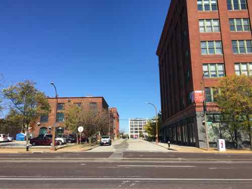
There are lots of lofts, restaurants, and such in the three blocks between Olive & Delmar. All the streets from 20th to 23rd connect to Olive, it’s reasonable to expect people to use all these streets to walk toward the new stadium. Some may come from lofts/apartments, with others parking on the streets.
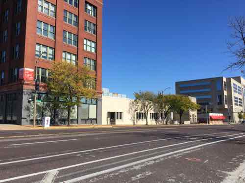
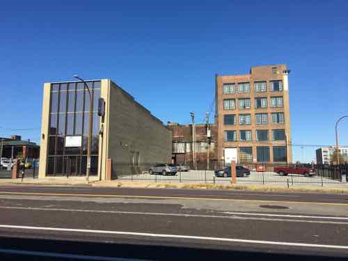
There is also vacant land in this area, some state-owned. Ideally new multi-story residential buildings will fill in the gaps over the next 10-20 years. Ideally St. Louis would limit/ban surface parking in this area. Businesses like Schlafly’s Tap Room already has surface lots occupying more land than their building. A shared-use parking garage with an active ground floor (restaurant, retail, etc) with enclosed walls & ventilation would be acceptable in this area.
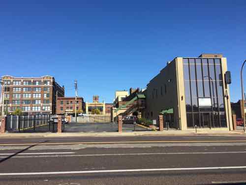
Hopefully the non-contributing single story buildings between Olive, Delmar, 18th, & Jefferson will be replaced with two to five story structures. If this area is to become a thriving urban neighborhood it needs to keep surface parking to a minimum. It’s already bad along Olive heading west toward Jefferson.

This is all part of the Olive and Locust Historic Business District — listed on the National Register of Historic Places twelve years ago.
No doubt the area north of Olive will change once the new stadium opens. It remains to be seen if this change will be positive, negative, or neutral. Without a consensus on the future direction, enforced through form-based zoning, my bet is on the negative.
— Steve Patterson