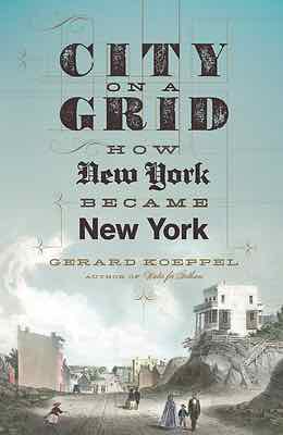
Reading: City on a Grid by Gerard Koeppel
 Regular readers know I love St. Louis’ street grid — it’s one of the things that drew me here in August 1990. New York was already 150+ years old when St. Louis was founded. St, Louis’ first streets were in a grid pattern, but New York’s weren’t. St. Louis had a population of 1,600 in 1810, but New York City was nearly 120,000 and growing fast.
In 1811 New York City adopted a new grid pattern for the largely rural island of Manhattan. It was unforgiving, no regard for geography. It would be decades before it was completed.
From author Gerard Koeppel:
Back in St. Louis, the original riverfront grid gave way to a less organized street pattern as you got away from downtown. The 1876 Great Divorce set the city limits far into rural land – those in the late 19th century didn’t foresee suburban sprawl that would take place in the mid to late 20th century.
You either love it or hate it, but nothing says New York like the street grid of Manhattan. Created in 1811 by a three-man commission featuring headstrong Founding Father Gouverneur Morris, the plan called for a dozen parallel avenues crossing at right angles with many dozens of parallel streets in an unbroken grid. Hills and valleys, streams and ponds, forests and swamps were invisible to the grid; so too were country villages, roads, farms, and estates and generations of property lines. All would disappear as the crosshatch fabric of the grid overspread the island: a heavy greatcoat on the land, the dense undergarment of the future city.
No other grid in Western civilization was so large and uniform as the one ordained in 1811. Not without reason. When the grid plan was announced, New York was just under two hundred years old, an overgrown town at the southern tip of Manhattan, a notorious jumble of streets laid at the whim of landowners. To bring order beyond the chaos—and good real estate to market—the street planning commission came up with a monolithic grid for the rest of the island. Mannahatta—the native “island of hills”—became a place of rectangles, in thousands of blocks on the flattened landscape, and many more thousands of right-angled buildings rising in vertical mimicry.
The Manhattan grid has been called “a disaster” of urban planning and “the most courageous act of prediction in Western civilization.” However one feels about it, the most famous urban design of a living city defines its daily life. This is its story.
What would Manhattan look like today if the 1811 grid hadn’t been adopted? What would St. Louis look like if it had suggested a similar rigid grid?
— Steve Patterson